The above table gives the weather forecast for Nendaz at the specific elevation of 2348 m. Our sophisticated weather models allow us to provide snow forecasts for the top, middle and bottom ski stations of Nendaz. To access the weather forecasts for the other elevations, use the tab navigation above the table. For a wider view of the weather, check out the Weather Map of Switzerland.
Click here to read further information on freezing levels and how we forecast our temperatures.
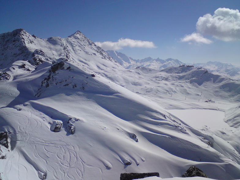
We have been coming to Nendaz for 15 years and in that time the resort has grown up a lot. We have lots of new lifts. Lots of new apartments and some very modern chalets and so a big 4* hotel. The restaurants are still very good and the resort is still friendly and very family orientated with a big majority opting for self-catering.
The slopes are well managed and sometimes not groomed so you can do a bit of powder on a regular run. Nowadays we find Nendaz is good for a day or two, just to get the ski legs back! We prefer Siviez; now doable by ski from Nendaz. Verbier is a one day treat mid week (and never on a Friday! Too many last hurrah Henrys!).
Top tip: buy a Printse ticket for your stay, then upgrade to a Verbier day ticket to do Verbier. You can ski, Nendaz, Siviez Thyon and Veysonnaz on a Printse ticket. Only worth the full 4 Vallees ticket if you are going to do Verbier every day.
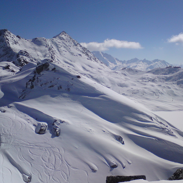
Free Snow-Forecast.com weather widget for your website
Embed the Nendaz weather widget on your site for free. It provides a weekly snapshot of snow and rain conditions across all elevations. Follow the two quick steps to grab your custom code and paste it into your site. Choose between metric or imperial units. Click here to get the code.


 Nearest