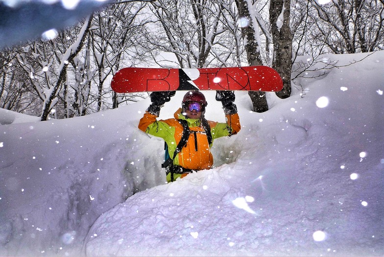
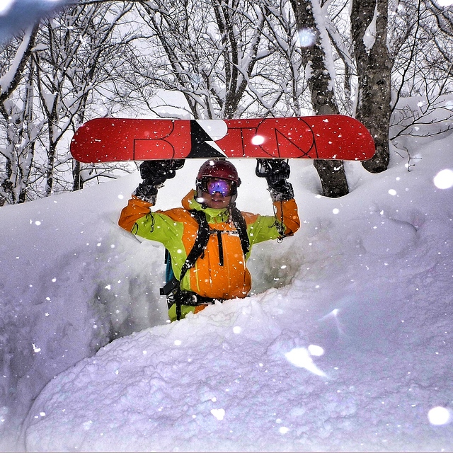
Little Seki Onsen has earned a cult-like status among ambitious and fearless snowboarders and skiers, featuring in many photo-shoots of Japan at its best and lately in any number of Instagram reels. Travis Rice was here just a few days before us and if it is good enough for him, then it is good enough for anyone.
The good:
Still family-run and incredibly authentic.
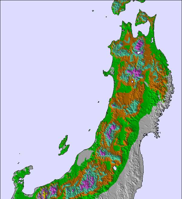
The snowy Japan Sea end of the Mykoko Massif, so like Cortina in Hakuba, a snow magnet which generally ranks among the snowiest places on earth.
Good value day passes with a 1000 Yen towards lunch or if you prefer not to waste your slope time, just put it towards a well earned beer at the end of the say. Get there before 3pm for food.
The terrain is epic for such a small area.
Steep for Japan and varied too, from steep open bowls to skate runs and pillow lines through the forest.
The Bad:
Growing popularity means long queues on fresh snow days, which are very frequent. First at the ticket office, then at the bottom chair, then at the top chair, which generally opens at 11am, and then in the cafe on the slopes between about noon to 2pm.
That top lift single chair is low capacity and generally ony open for an hour or so per day.
Officially, most of the good stuff is out of bounds. Eg the huge valley on skiers left with multiple steep entry points (some are overhanging, so choose wisely).
On skiers right, the wooded valley "collector" exits close to the road just above the village. It splits in two where it emerges from the forest and it is far from obvious that straight on is going to dump you in a 5m deep vertical hole!
On skiers left, the big open valley ends in a scootch track that can need a bit of boot-packing. You emerge under a chair a third of a the way down a green run and it will make perfect sense to head down and take that chair back to the Seki Base. Problem is, this is not covered by your Seki pass so make sure you have 300 Yen cash for a single ticket. You won't save much time, but you will save your legs.
Very little accommodation right here and at least one hotel was not open because of lack of staff. At another, the overseas staff were not even snow-sports enthusiasts. Madness. There is literally nothing else to do here so if you are a young charger who doesn't mid hard work, make yourself known.
Beginners can mostly ignore it. Stay in Akakura. There is piste skiing of course, but it is generally ungroomed and screaming "off-piste" piste is the prize of being front of the queue.
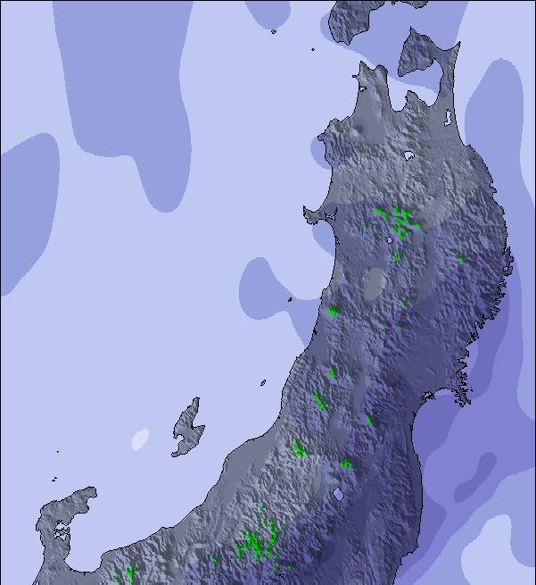
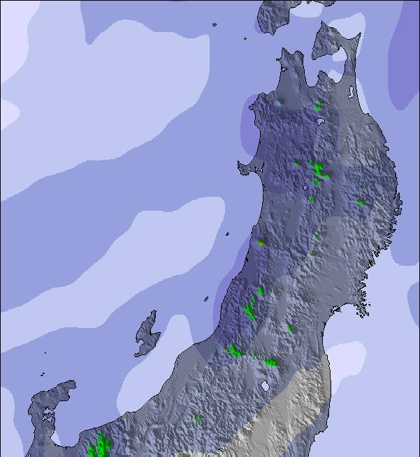
Everyone calls it powder and face-shots are inevitable but this isn't Hokkaido or even northern Honshu. When that snow hits you, it sticks to everything, which means that it consolidates quickly and forms a hard surface such that the next dump commonly sits on a hard layer. It sloughs off easily and it can occasionally trip you up as you ride knee deep fresh stuff that hides obstacles.
The future:
There is talk of extending Seki 300m higher, which would precipitate big changes. On the one hand, it would open up a huge area and cement its legendary status but on the other it would no doubt change the warts-and-all charm of the place forever.
Alternatives:
A quiet lunch alternative at the bottom lift. If you really want to stop at peak lunch time, this place deserves to be more popular than it is and is much nicer on the inside than you might guess.
Myko is a huge volcano and the lift-accessed and higher country above Tsubame delivers similar conditions but you absolutely need to be sure you now how to navigate back to the ski area via the tunnel and please respect any rules about skiing above Tsubame onsen and the road because locals are very wary of skiers causing avalanches.
The steep and twisty road down from Tsubame Highland Lodge, up-valley from Seki, has become popular with people getting images of each other hitting kickers.
Meanwhile, ask anyone who has been here on a fresh snow day and expect them to bore you senseless with why you need to go there.


 Nearest