Issued by Snow-Forecast.com at:10 am (local time) / 01 Aug 2026
Last 6 daysScroll left for last 6 daysNow
Next 3 days weather summary:
Mostly dry. Very mild (max 16°C on Mon afternoon, min 7°C on Sat night). Winds decreasing (fresh winds from the WSW on Sat afternoon, calm by Mon morning).
Days 4-6 weather summary:
Mostly dry. Warm (max 23°C on Thu afternoon, min 14°C on Tue morning). Wind will be generally light.
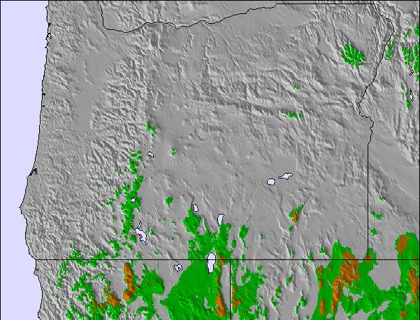
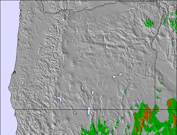
The above table gives the weather forecast for Mt Bachelor at the specific elevation of 2333 m. Our sophisticated weather models allow us to provide snow forecasts for the top, middle and bottom ski stations of Mt Bachelor. To access the weather forecasts for the other elevations, use the tab navigation above the table. For a wider view of the weather, check out the Weather Map of United States.
Click here to read further information on freezing levels and how we forecast our temperatures.
Way better places to ski or ride. If you're into alcohol and the social scene and people watching, great, Bachelor is for you. If you want to ski or ride anywhere with a pitch and or be at a resort that can operate when it snows, go anywhere else. POWDR corporation sucks. They love money, not the "adventure lifestyle" they promote. POWDR corp. has turned Mt Bachelor into an over groomed, overpopulated, ill-flowing ski resort with summer shit built all over the place. Is it zipline season yet?
{note from editor: some text edited for sake of relevance.}
Free Snow-Forecast.com weather widget for your website
Embed the Mt Bachelor weather widget on your site for free. It provides a weekly snapshot of snow and rain conditions across all elevations. Follow the two quick steps to grab your custom code and paste it into your site. Choose between metric or imperial units. Click here to get the code.


 Nearest