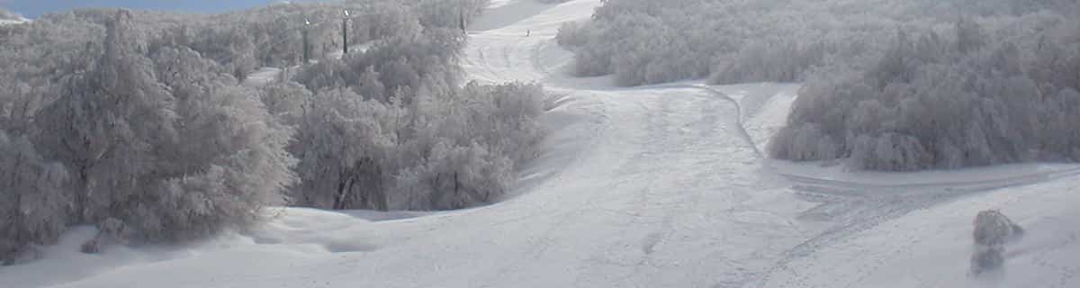



Visiting Mount Kato Ski Area
Helpful resort information to assist planning your trip.
- Opens—
- Closes—
- Accommodation—
- Restaurants | Bars— | —
- Nearest Airport Chicago
- Nearest Train Station —
- Tourist Office Website
- Tourist Office Phone—
- Avalanche information:
Mount Kato Ski Area Features
The terrain at Mount Kato Ski Area includes:
- Halfpipes—
- Terrain Parks—
- X-Country—
- Ski Hire—
What's it like at Mount Kato Ski Area resort?
Mount Kato Ski Area in the United States (Minnesota State) is a medium sized ski resort with 8 ski lifts but it only has 73 metres (240 feet) of vertical descent. Mount Kato Ski Area has 65 acres of terrain over 19 trails. Mount Kato Ski Area is evenly suited for both advanced and intermediate skiers and snowboarders but with some terrain for beginners. We have no information about the existence of any cross country ski trails at Mount Kato Ski Area. All of the trails at Mount Kato Ski Area are covered by snowmaking. The nearest airport is at Chicago.
Explore Mount Kato Ski Area Location Map
Interactive Mount Kato Ski Area trail map and piste map. View the piste and trails as well as the surrounding terrain and mountain contours for backcountry action. Find and compare nearby resorts by clicking on the resort markers.

When's the snowiest month to visit Mount Kato Ski Area?
What's the snow currently like in Mount Kato Ski Area?
A summary of the current snow conditions in Mount Kato Ski Area. View more information on the Mount Kato Ski Area detailed snow report page.
- Piste Condition—
- Off-piste Condition—

| Upper snow depth: |  Tell us Tell us | |
|---|---|---|
| Lower snow depth: | ||
Resorts close to Mount Kato Ski Area
Discover ski resorts near Mount Kato Ski Area. Click below to view there ski resort guides.
 Pistes: 12
 Nearest