Issued by Snow-Forecast.com at:4 pm (local time) / 29 Jun 2026
Last 6 daysScroll left for last 6 daysNow
Next 3 days weather summary:
Moderate rain (total 13.0mm), heaviest on Mon afternoon. Mild temperatures (max 8°C on Mon afternoon, min 6°C on Tue morning). Wind will be generally light.
Days 4-6 weather summary:
Light rain (total 9.0mm), mostly falling on Thu afternoon. Very mild (max 13°C on Sat afternoon, min 6°C on Thu night). Wind will be generally light.
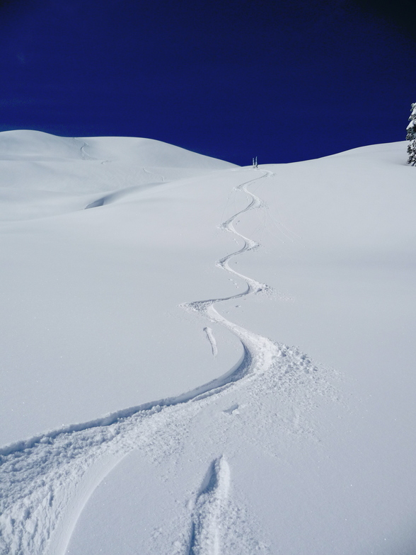
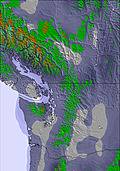
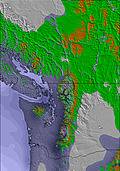
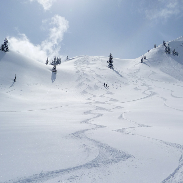
The above table gives the weather forecast for Mount Baker at the specific elevation of 1309 m. Our sophisticated weather models allow us to provide snow forecasts for the top, middle and bottom ski stations of Mount Baker. To access the weather forecasts for the other elevations, use the tab navigation above the table. For a wider view of the weather, check out the Weather Map of United States.
Click here to read further information on freezing levels and how we forecast our temperatures.
Love reading the bad reviews! lol. Which means, good news for me who like going there especially on mid week. They have this Wicked Wednesdays (I shdn't tell you!) where prices are a bit lower. I live in Seattle and can plan for better weather. Don't care about apres, food, I come here to snowboard and hike in the summer. Lucky to be living in the NW where we have 3-4 choices of resorts to go to. Baker is a hidden gem, like your resort in the 70s, no hotels and restaurants, just a resort in the wilderness. You come here to enjoy the outdoors without the urban buzz. Here's hoping they don't get snatched by big corporations out there.
Love reading the bad reviews! lol. Which means, good news for me who like going there especially on mid week. They have this Wicked Wednesdays (I shdn't tell you!) where prices are a bit lower. I live in Seattle and can plan for better weather. Don't care about apres, food, I come here to snowboard and hike in the summer. Lucky to be living in the NW where we have 3-4 choices of resorts to go to. Baker is a hidden gem, like your resort in the 70s, no hotels and restaurants, just a resort in the wilderness. You come here to enjoy the outdoors without the urban buzz. Here's hoping they don't get snatched by big corporations out there.
Free Snow-Forecast.com weather widget for your website
Embed the Mount Baker weather widget on your site for free. It provides a weekly snapshot of snow and rain conditions across all elevations. Follow the two quick steps to grab your custom code and paste it into your site. Choose between metric or imperial units. Click here to get the code.


 Nearest