

Global Weekly Snow Roundup #320
Weekly Snow News for the world, updated 25 June 2026: Chile and New Zealand's seasons proper set to begin, Tignes and Sunshine reopen for summer skiing. weekend as Riksgransen ends its 2026 season.

Next 3 days weather summary:Heavy rain (total 21.0mm), heaviest during Mon night. Very mild (max 16°C on Mon afternoon, min 11°C on Wed night). Wind will be generally light. | Days 4-6 weather summary:Mostly dry. Very mild (max 16°C on Sat afternoon, min 11°C on Thu morning). Wind will be generally light. | |||||||||||||||||
Monday 29 | Tuesday 30 | Wednesday 1 | Thursday 2 | Friday 3 | Saturday 4 | |||||||||||||
AM | PM | night | AM | PM | night | AM | PM | night | AM | PM | night | AM | PM | night | AM | PM | night | |
rain shwrs | t-storm risk | rain shwrs | t-storm risk | t-storm risk | rain shwrs | rain shwrs | rain shwrs | rain shwrs | clear | clear | clear | clear | clear | clear | clear | clear | clear | |
km/h | ||||||||||||||||||
Snow map |  |  |  |  |  |  | ||||||||||||
— | — | — | — | — | — | — | — | — | — | — | — | — | — | — | — | — | — | |
mm | 1 | 3 | 4 | 1 | 2 | 4 | 1 | 4 | 1 | — | — | — | — | — | — | — | — | — |
max °C | 15 | 16 | 15 | 14 | 16 | 14 | 13 | 13 | 13 | 13 | 15 | 15 | 14 | 15 | 13 | 14 | 16 | 16 |
min °C | 14 | 16 | 14 | 14 | 15 | 13 | 13 | 13 | 11 | 11 | 14 | 13 | 12 | 14 | 12 | 12 | 16 | 14 |
chill °C | 14 | 16 | 14 | 14 | 15 | 13 | 13 | 12 | 9 | 10 | 13 | 12 | 11 | 13 | 12 | 12 | 16 | 14 |
Humid % | 68 | 66 | 66 | 70 | 72 | 72 | 65 | 68 | 53 | 41 | 39 | 48 | 46 | 55 | 52 | 39 | 35 | 30 |
Freeze m | 4400 | 4400 | 4450 | 4300 | 4300 | 4150 | 3900 | 3800 | 4000 | 4350 | 4200 | 4350 | 3900 | 3850 | 4350 | 4400 | 4400 | 4450 |
5:43 | — | — | 5:43 | — | — | 5:45 | — | — | 5:45 | — | — | 5:46 | — | — | 5:47 | — | — | |
— | — | 9:28 | — | — | 9:28 | — | — | 9:28 | — | — | 9:28 | — | — | 9:27 | — | — | 9:27 | |
Go pro and carve into:
Avalanche information: European Avalanche Warning Services (EAWS)
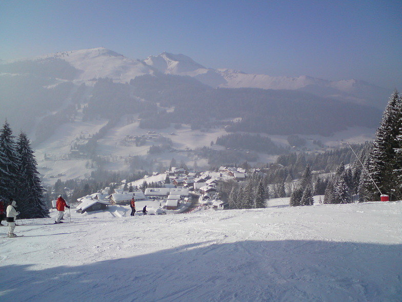
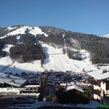
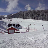
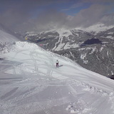
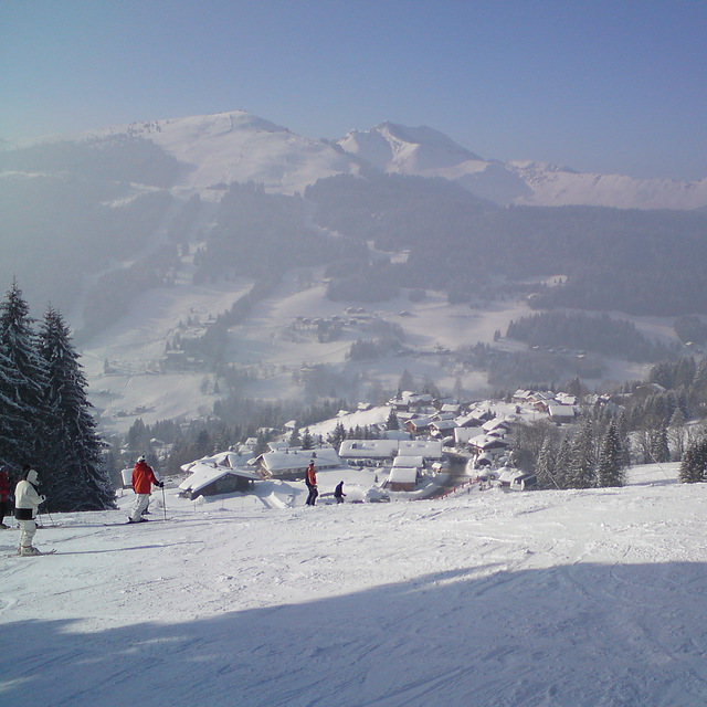
Latest snow reports near Morzine:
| Top snow depth: | — |
|---|---|
| Bottom snow depth: | — |
| Fresh snowfall depth: | — |
| Last snowfall: | 16 May 2026 |
| Snow Alerts | Create Alert |
0.0 | Bluebird Powder days Fresh snow, mostly sunny, light wind. |
|---|---|
0.0 | Powder days Fresh snow, limited sun, any wind. |
0.0 | Bluebird days Average snow, mostly sunny, light wind. |

The above table gives the weather forecast for Morzine at the specific elevation of 2019 m. Our sophisticated weather models allow us to provide snow forecasts for the top, middle and bottom ski stations of Morzine. To access the weather forecasts for the other elevations, use the tab navigation above the table. For a wider view of the weather, check out the Weather Map of France.
Click here to read further information on freezing levels and how we forecast our temperatures.
Overall 4.5 Based on 80 votes and 114 reviews
Been skiing a while but oddly never in PDS. But I had friends going so drove to meet them for a few days. SOOO disappointed! The skiing/altitude is what it is and you can always find something good and we were blessed with great snow. But the town itself was a real let down, bit grotty, spread out and full of grizzly middle aged men reliving their youth and worse, pathetically trying to ‘pull’. Overpriced, low quality tourist trap milking it’s proximity to GVA for weekenders. Left early.
Chris W from United Kingdom writes:
Been skiing a while but oddly never in PDS. But I had friends going so drove to meet them for a few days. SOOO disappointed! The skiing/altitude is what it is and you can always find something good and we were blessed with great snow. But the town itself was a real let down, bit grotty, spread out and full of grizzly middle aged men reliving their youth and worse, pathetically trying to ‘pull’. Overpriced, low quality tourist trap milking it’s proximity to GVA for weekenders. Left early.


 Nearest