The above table gives the weather forecast for Morzine at the specific elevation of 999 m. Our sophisticated weather models allow us to provide snow forecasts for the top, middle and bottom ski stations of Morzine. To access the weather forecasts for the other elevations, use the tab navigation above the table. For a wider view of the weather, check out the Weather Map of France.
Click here to read further information on freezing levels and how we forecast our temperatures.
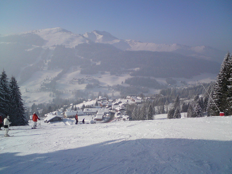
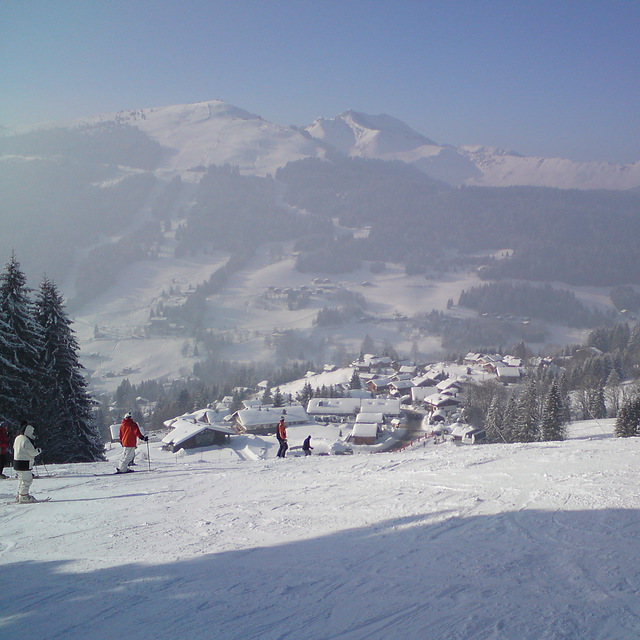
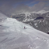
Morzine is low altitude but pretty. Moderate priced compared to other French resorts. More expensive than Austria and Italy. Lots of moderately sloped blues and even the reds aren't very red. Not a heck of a lot of off-piste. Be prepared to do a bit of walking if you aren't near the lifts, and to be fair, most accommodation is a hike.
Very easy transfer from Geneva.
If renting kit, try and leave it at the rental shop if near the lifts. If taking your own, then bribe a shop to keep your kit!
Supermorzine telecabine is not very super, 6 seater and tired.
Avoriaz is good for altitude but horrendously unpretty, despite sticking wood onto the concrete buildings.
All in all, morzine is fine and pretty, but not very snowy. Thank god for artificial snow cannons.
Free Snow-Forecast.com weather widget for your website
Embed the Morzine weather widget on your site for free. It provides a weekly snapshot of snow and rain conditions across all elevations. Follow the two quick steps to grab your custom code and paste it into your site. Choose between metric or imperial units. Click here to get the code.


 Nearest