Weather Forecast for Mijanes-Donezan at1530m altitude
Issued: 1 am 14 Jul 2026 (local time)
Forecast update in hr min
View forecast
Mijanes-Donezanat 1530 m altitude
Issued by Snow-Forecast.com at:1 am (local time) / 14 Jul 2026
Last 6 daysScroll left for last 6 daysNow
Next 3 days weather summary:
Light rain (total 9.0mm), mostly falling on Thu night. Warm (max 30°C on Thu afternoon, min 14°C on Thu night). Winds increasing (calm on Tue morning, fresh winds from the SW by Wed afternoon).
Days 4-6 weather summary:
Mostly dry. Warm (max 23°C on Sun afternoon, min 11°C on Fri night). Wind will be generally light.
The above table gives the weather forecast for Mijanes-Donezan at the specific elevation of 1530 m. Our sophisticated weather models allow us to provide snow forecasts for the top, middle and bottom ski stations of Mijanes-Donezan. To access the weather forecasts for the other elevations, use the tab navigation above the table. For a wider view of the weather, check out the Weather Map of France.
Click here to read further information on freezing levels and how we forecast our temperatures.
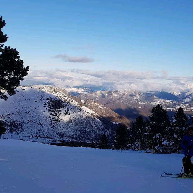
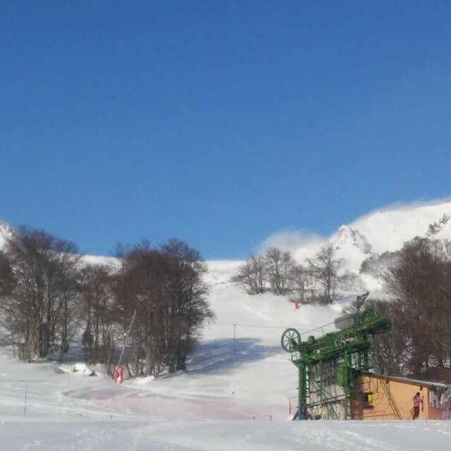
Mijanes is a fantastic small family ski resort in the beautiful canton of Donezan. The height of the resort means that it can suffer from lack of snow - but when it does snow, you're in for a treat. I am no expert but have been skiing for over twenty years and prefer this resort to anywhere else I have visited, as do the kids. Polite, caring, quiet, compact and cheap, it is a resort the French want to keep to themselves, although the area does attract some Spanish from over the boarder. Imagine a tree clad mountainside with all facilities within 100m of the lifts, lift attendants who make the kids wear their glasses, equipment hirers who remember your favourite boots, and dearest lift pass costing 15 Euros per day. Bring on the winter! Bring on the Vin Chaud!
Mijanes is a fantastic small family ski resort in the beautiful canton of Donezan. The height of the resort means that it can suffer from lack of snow - but when it does snow, you're in for a treat. I am no expert but have been skiing for over twenty years and prefer this resort to anywhere else I have visited, as do the kids. Polite, caring, quiet, compact and cheap, it is a resort the French want to keep to themselves, although the area does attract some Spanish from over the boarder. Imagine a tree clad mountainside with all facilities within 100m of the lifts, lift attendants who make the kids wear their glasses, equipment hirers who remember your favourite boots, and dearest lift pass costing 15 Euros per day. Bring on the winter! Bring on the Vin Chaud!
Free Snow-Forecast.com weather widget for your website
Embed the Mijanes-Donezan weather widget on your site for free. It provides a weekly snapshot of snow and rain conditions across all elevations. Follow the two quick steps to grab your custom code and paste it into your site. Choose between metric or imperial units. Click here to get the code.


 Nearest