

Banff Sunshine Village Opening for Summer Skiing
Banff Sunshine Village has confirmed it will reopen for a fortnight of summer skiing, from this weekend. The only ski area in Canada to be open into July.

Next 4 days weather summary:Moderate rain (total 19.0mm), heaviest on Fri night. Warm (max 29°C on Sun afternoon, min 18°C on Fri night). Wind will be generally light. | Days 5-7 weather summary:Light rain (total 9.0mm), mostly falling on Mon night. Warm (max 30°C on Thu afternoon, min 18°C on Mon night). Wind will be generally light. | |||||||||||||||
Saturday 20 | Sunday 21 | Monday 22 | Tuesday 23 | Wednesday 24 | ||||||||||||
night | AM | PM | night | AM | PM | night | AM | PM | night | AM | PM | night | AM | PM | night | |
rain shwrs | t-storm risk | t-storm risk | rain shwrs | clear | some clouds | rain shwrs | rain shwrs | t-storm risk | rain shwrs | clear | some clouds | rain shwrs | clear | clear | rain shwrs | |
km/h | ||||||||||||||||
Snow map |  |  |  |  |  |  | ||||||||||
— | — | — | — | — | — | — | — | — | — | — | — | — | — | — | — | |
mm | 5 | 1 | 4 | 3 | — | — | 2 | 1 | 3 | 3 | — | — | 3 | — | — | 1 |
max °C | 23 | 27 | 28 | 22 | 28 | 29 | 24 | 27 | 29 | 23 | 27 | 29 | 23 | 27 | 29 | 24 |
min °C | 18 | 23 | 24 | 18 | 24 | 28 | 19 | 24 | 25 | 18 | 22 | 27 | 18 | 23 | 28 | 19 |
chill °C | 18 | 23 | 24 | 18 | 24 | 28 | 19 | 24 | 25 | 18 | 22 | 27 | 18 | 23 | 28 | 19 |
Humid % | 65 | 49 | 63 | 68 | 36 | 44 | 71 | 46 | 65 | 80 | 49 | 50 | 78 | 50 | 50 | 79 |
Freeze m | 4250 | 4150 | 4250 | 4250 | 4150 | 4300 | 4200 | 4100 | 4250 | 4200 | 4200 | 4350 | 4200 | 4200 | 4450 | 4400 |
— | 5:16 | — | — | 5:16 | — | — | 5:16 | — | — | 5:16 | — | — | 5:16 | — | — | |
— | — | — | 9:10 | — | — | 9:10 | — | — | 9:10 | — | — | 9:12 | — | — | 9:12 | |
Go pro and carve into:
Avalanche information: European Avalanche Warning Services (EAWS)
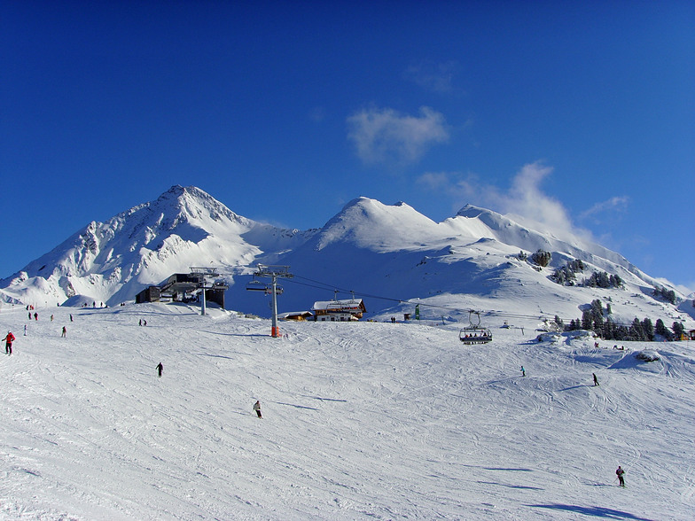
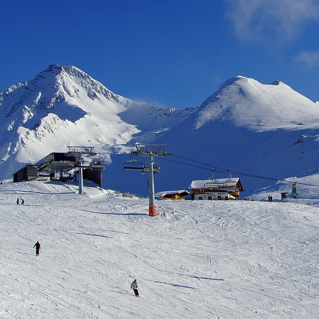
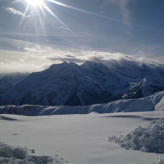
Latest snow reports near Mayrhofen:
| Top snow depth: | 0 cm |
|---|---|
| Bottom snow depth: | 0 cm |
| Fresh snowfall depth: | — |
| Last snowfall: | 18 May 2026 |
| Snow Alerts | Create Alert |
0.0 | Bluebird Powder days Fresh snow, mostly sunny, light wind. |
|---|---|
0.0 | Powder days Fresh snow, limited sun, any wind. |
0.0 | Bluebird days Average snow, mostly sunny, light wind. |

The above table gives the weather forecast for Mayrhofen at the specific elevation of 630 m. Our sophisticated weather models allow us to provide snow forecasts for the top, middle and bottom ski stations of Mayrhofen. To access the weather forecasts for the other elevations, use the tab navigation above the table. For a wider view of the weather, check out the Weather Map of Austria.
Click here to read further information on freezing levels and how we forecast our temperatures.
Overall 4.4 Based on 35 votes and 52 reviews
Not bad. But this is because of mother nature and the people (both local and those who comes to work). But company "Mayrhofen Bergbahn AG" in my opinion is greedy, they like only to take money so you couldn't see here: no night skiing no night shows no toboggan piste no attraction like skyswing, fisser flieger or serfauser sauser no fun areas and theme pistes for children no ski kindergarden or kinderland no photopoint for skiline.cc no valley run from main ski area And yes to false advertising when they put on their map Hintertux glacier not included in normal tickets.
Alps is good, company is not from Sweden writes:
Not bad. But this is because of mother nature and the
people (both local and those who comes to work).
But company "Mayrhofen Bergbahn AG" in my opinion is greedy,
they like only to take money so you couldn't see here:
no night skiing
no night shows
no toboggan piste
no attraction like skyswing, fisser flieger or serfauser sauser
no fun areas and theme pistes for children
no ski kindergarden or kinderland
no photopoint for skiline.cc
no valley run from main ski area
And yes to false advertising when they put on their map Hintertux glacier not included in normal tickets.


 Nearest