

America’s Next Indoor Snow Centre Takes Shape
Construction of a new indoor snow centre for skiers, boarders and tubers appears to be making good progress at Heritage Farm in Wayne County, West Virginia.

Next 3 days weather summary:Light rain (total 9.0mm), mostly falling on Tue afternoon. Warm (max 21°C on Tue afternoon, min 10°C on Tue night). Wind will be generally light. | Days 4-6 weather summary:Moderate rain (total 17.0mm), heaviest on Sun afternoon. Warm (max 21°C on Fri afternoon, min 10°C on Sun night). Wind will be generally light. | ||||||||||||||||
Tue 21 | Wednesday 22 | Thursday 23 | Friday 24 | Saturday 25 | Sunday 26 | ||||||||||||
PM | night | AM | PM | night | AM | PM | night | AM | PM | night | AM | PM | night | AM | PM | night | |
t-storm risk | rain shwrs | clear | rain shwrs | rain shwrs | some clouds | clear | clear | clear | clear | clear | some clouds | t-storm risk | light rain | rain shwrs | rain shwrs | rain shwrs | |
km/h | |||||||||||||||||
Snow map |  |  |  |  |  |  | |||||||||||
— | — | — | — | — | — | — | — | — | — | — | — | — | — | — | — | — | |
mm | 5 | 2 | — | 1 | 1 | — | — | — | — | — | — | — | 3 | 5 | 3 | 5 | 1 |
max °C | 21 | 17 | 18 | 21 | 18 | 19 | 21 | 18 | 19 | 21 | 18 | 20 | 20 | 16 | 18 | 19 | 17 |
min °C | 20 | 10 | 14 | 21 | 11 | 15 | 21 | 11 | 15 | 21 | 12 | 16 | 18 | 13 | 15 | 19 | 10 |
chill °C | 20 | 9 | 14 | 21 | 10 | 15 | 21 | 10 | 15 | 21 | 12 | 16 | 18 | 13 | 15 | 19 | 8 |
Humid % | 45 | 66 | 41 | 46 | 56 | 37 | 38 | 52 | 36 | 50 | 63 | 55 | 78 | 92 | 68 | 60 | 71 |
Freeze m | 3900 | 3650 | 3750 | 4100 | 3800 | 3750 | 3950 | 3950 | 4050 | 4250 | 4250 | 4250 | 3950 | 3550 | 3700 | 3850 | 3850 |
— | — | 5:58 | — | — | 5:58 | — | — | 6:00 | — | — | 6:01 | — | — | 6:01 | — | — | |
— | 9:09 | — | — | 9:08 | — | — | 9:07 | — | — | 9:07 | — | — | 9:06 | — | — | 9:05 | |
Go pro and carve into:
Avalanche information: European Avalanche Warning Services (EAWS)
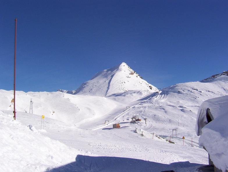
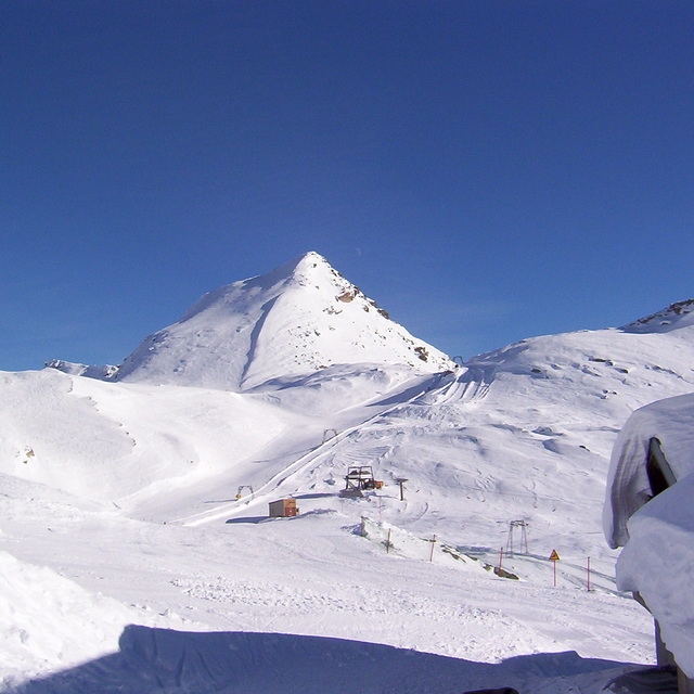
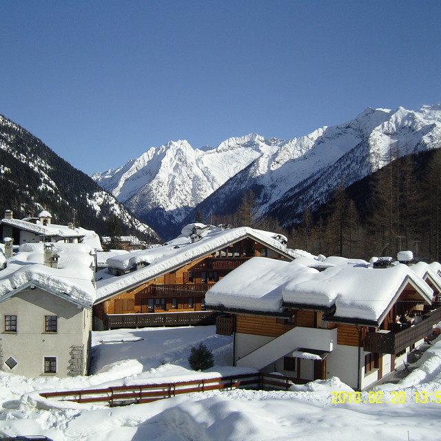
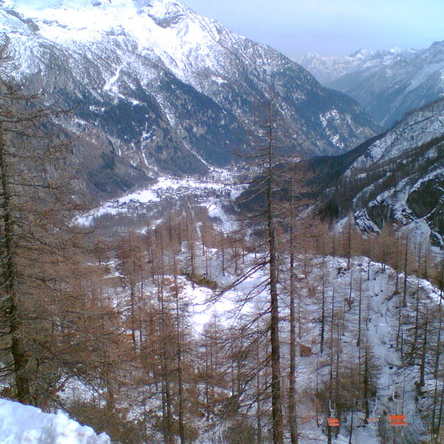
Latest snow reports near Macugnaga:
| Top snow depth: | 0 cm |
|---|---|
| Bottom snow depth: | 0 cm |
| Fresh snowfall depth: | — |
| Last snowfall: | 18 May 2026 |
| Snow Alerts | Create Alert |
0.0 | Bluebird Powder days Fresh snow, mostly sunny, light wind. |
|---|---|
0.0 | Powder days Fresh snow, limited sun, any wind. |
0.0 | Bluebird days Average snow, mostly sunny, light wind. |
The above table gives the weather forecast for Macugnaga at the specific elevation of 1300 m. Our sophisticated weather models allow us to provide snow forecasts for the top, middle and bottom ski stations of Macugnaga. To access the weather forecasts for the other elevations, use the tab navigation above the table. For a wider view of the weather, check out the Weather Map of Italy.
Click here to read further information on freezing levels and how we forecast our temperatures.
Overall 3.6 Based on 20 votes and 17 reviews
30 Dicembre 2015. Attenzione: a lasciare incustodite anche per poco tempo cose o effetti personali. Ho lasciato la macchina fotografica nella zona vicino alla casetta dei maestri di sci la borsa con la macchina fotografica, l'hanno aperta rubato macchina, carica batterie, cavo e batteria di ricambio poi l'hanno richiusa e lasciata li. Complimenti alle persone che frequentano questo luogo!
Luca from Italy writes:
30 Dicembre 2015.
Attenzione: a lasciare incustodite anche per poco tempo cose o effetti personali.
Ho lasciato la macchina fotografica nella zona vicino alla casetta dei maestri di sci la borsa con la macchina fotografica, l'hanno aperta rubato macchina, carica batterie, cavo e batteria di ricambio poi l'hanno richiusa e lasciata li.
Complimenti alle persone che frequentano questo luogo!


 Nearest