

Portillo Storm Snowfall Total Passes 5m / 17 Feet
A snow storm that has now continued for nine days has taken Chilean ski resort Portillo to a snowfall total of 5.2 metres (17 feet) so far, with more snow forecast.

Next 3 days weather summary:Moderate rain (total 14.0mm), heaviest on Wed afternoon. Warm (max 24°C on Thu afternoon, min 12°C on Tue night). Wind will be generally light. | Days 4-6 weather summary:Heavy rain (total 46.0mm), heaviest during Sat afternoon. Warm (max 23°C on Fri afternoon, min 12°C on Fri night). Wind will be generally light. | ||||||||||||||||
Tue 28 | Wednesday 29 | Thursday 30 | Friday 31 | Saturday 1 | Sunday 2 | ||||||||||||
PM | night | AM | PM | night | AM | PM | night | AM | PM | night | AM | PM | night | AM | PM | night | |
clear | rain shwrs | t-storm risk | t-storm risk | rain shwrs | clear | some clouds | rain shwrs | clear | light rain | rain shwrs | t-storm risk | rain shwrs | rain shwrs | rain shwrs | rain shwrs | rain shwrs | |
km/h | |||||||||||||||||
Snow map |  |  |  |  |  |  | |||||||||||
— | — | — | — | — | — | — | — | — | — | — | — | — | — | — | — | — | |
mm | — | 1 | 1 | 5 | 4 | — | — | 3 | — | 2 | 14 | 1 | 11 | 6 | 1 | 3 | 7 |
max °C | 22 | 19 | 19 | 20 | 17 | 22 | 24 | 21 | 22 | 23 | 14 | 20 | 20 | 15 | 20 | 21 | 15 |
min °C | 22 | 12 | 15 | 20 | 13 | 17 | 23 | 15 | 18 | 19 | 12 | 17 | 17 | 13 | 17 | 19 | 14 |
chill °C | 22 | 12 | 15 | 20 | 13 | 17 | 23 | 15 | 18 | 19 | 12 | 17 | 17 | 13 | 17 | 19 | 14 |
Humid % | 50 | 84 | 64 | 61 | 67 | 30 | 27 | 59 | 38 | 59 | 91 | 55 | 74 | 61 | 53 | 60 | 64 |
Freeze m | 4700 | 4400 | 4350 | 4500 | 4450 | 4600 | 4800 | 4650 | 4700 | 4750 | 4350 | 4600 | 4550 | 4550 | 4550 | 4700 | 4600 |
— | — | 5:56 | — | — | 5:56 | — | — | 5:58 | — | — | 5:58 | — | — | 6:00 | — | — | |
— | 8:55 | — | — | 8:54 | — | — | 8:53 | — | — | 8:52 | — | — | 8:51 | — | — | 8:50 | |
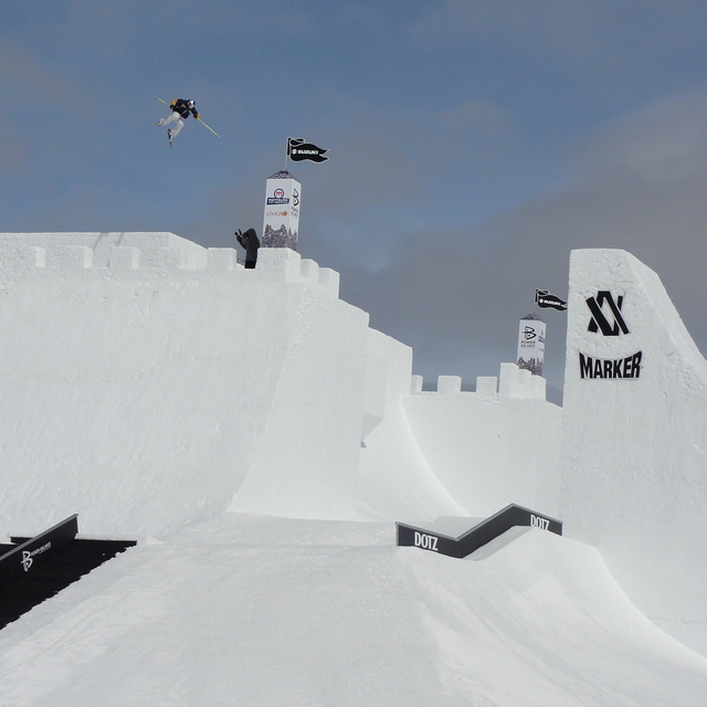
Go pro and carve into:
Avalanche information: European Avalanche Warning Services (EAWS)
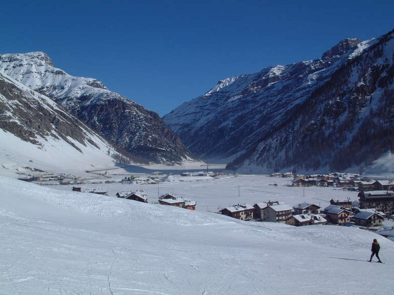
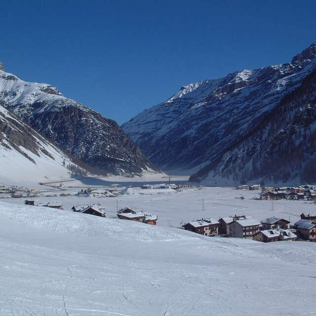
Latest snow reports near Livigno:
| Top snow depth: | 0 cm |
|---|---|
| Bottom snow depth: | 0 cm |
| Fresh snowfall depth: | — |
| Last snowfall: | 10 Jun 2026 |
| Snow Alerts | Create Alert |
0.0 | Bluebird Powder days Fresh snow, mostly sunny, light wind. |
|---|---|
0.0 | Powder days Fresh snow, limited sun, any wind. |
0.0 | Bluebird days Average snow, mostly sunny, light wind. |
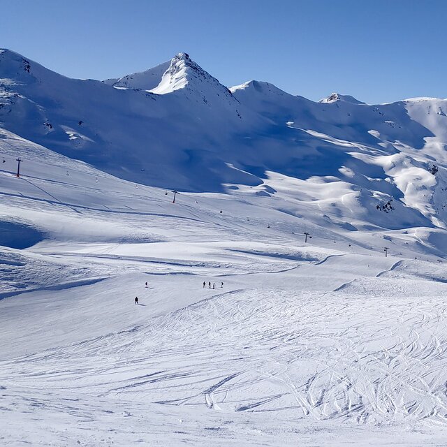
The above table gives the weather forecast for Livigno at the specific elevation of 1816 m. Our sophisticated weather models allow us to provide snow forecasts for the top, middle and bottom ski stations of Livigno. To access the weather forecasts for the other elevations, use the tab navigation above the table. For a wider view of the weather, check out the Weather Map of Italy.
Click here to read further information on freezing levels and how we forecast our temperatures.
Overall 4.6 Based on 71 votes and 78 reviews
Just leaving Livigno tomorrow (29/4/2019). I've been in a lot of ski resorts worldwide over the past 30 years but first time at Livigno. Granted that this is last week of season and weather and snow have been pretty poor. However, I see the problem here that could be at other times and certainly in high season is what do they do with all the skiers staying here. It certainly is one of the biggest ski towns in the Alps. However, it does not have the ski area to deal with this. Out of the published 115 km of piste I would say about a third of that is beginner slopes served by Pomas etc. It is one thing to have numerous high powered lifts but the people have to go somewhere. Beware of busy times !!
Andy cornish from United Kingdom writes:
Just leaving Livigno tomorrow (29/4/2019). I've been in a lot of ski resorts worldwide over the past 30 years but first time at Livigno. Granted that this is last week of season and weather and snow have been pretty poor. However, I see the problem here that could be at other times and certainly in high season is what do they do with all the skiers staying here. It certainly is one of the biggest ski towns in the Alps. However, it does not have the ski area to deal with this. Out of the published 115 km of piste I would say about a third of that is beginner slopes served by Pomas etc. It is one thing to have numerous high powered lifts but the people have to go somewhere. Beware of busy times !!


 Nearest