The above table gives the weather forecast for Les Marécottes - Salvan at the specific elevation of 1916 m. Our sophisticated weather models allow us to provide snow forecasts for the top, middle and bottom ski stations of Les Marécottes - Salvan. To access the weather forecasts for the other elevations, use the tab navigation above the table. For a wider view of the weather, check out the Weather Map of Switzerland.
Click here to read further information on freezing levels and how we forecast our temperatures.
Resort name is also written as Les Marecottes - Salvan.
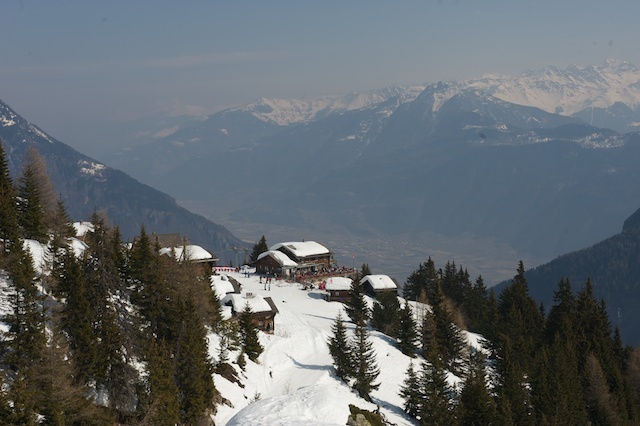
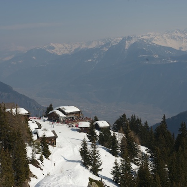
Les Marecottes is small but perfectly formed! We love the quiet slopes and the friendly atmosphere, the village is tranquil and untouched by commercialism. Our children love to take ski lessons with the fabulous instructors from the ski school and this means we can relax for a while knowing they are being well looked after! On a sunny day there is nothing better than heading for the summit and stopping for a glass of wine or a hot chocolate, then skiing to the restaurant for a tasty lunch and at the end of the day relax on the terrace at the "Clare de Lune" .
Just over an hour from Geneva, with beautiful scenery all the way. The journey passes quickly and before you realise it you are on the snakey road to Salvan and then past the zoo and you are there!
Make sure you try to get a taste of a local cheese from Emaney; it's delicious!
Free Snow-Forecast.com weather widget for your website
Embed the Les Marécottes - Salvan weather widget on your site for free. It provides a weekly snapshot of snow and rain conditions across all elevations. Follow the two quick steps to grab your custom code and paste it into your site. Choose between metric or imperial units. Click here to get the code.


 Nearest