The above table gives the weather forecast for Les Menuires at the specific elevation of 2850 m. Our sophisticated weather models allow us to provide snow forecasts for the top, middle and bottom ski stations of Les Menuires. To access the weather forecasts for the other elevations, use the tab navigation above the table. For a wider view of the weather, check out the Weather Map of France.
Click here to read further information on freezing levels and how we forecast our temperatures.
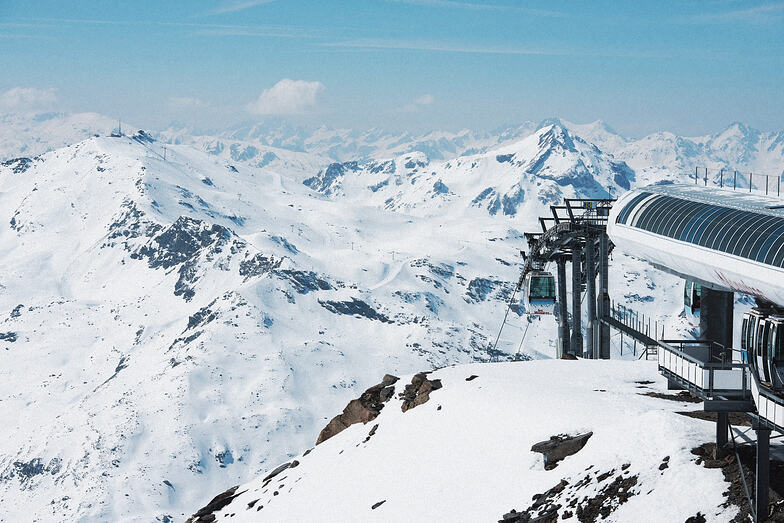
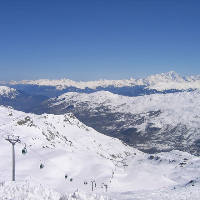
Well, been coming to 3V, in particular Les Menuires, for some time now (approx 7 yrs). Over that time i've seen many new apartments and chalets going up. Some of them are rather nice accomm. The downside, however, is that they have not invested in lift system out of town to the same extent. The result being that during the main holiday periods you can waste a good hour getting out of town to a 3V liaison point, which used to be done in about 15 mins. All well and good except on a powder day. Can be rather frustrating particularly with the infamous French approach to queues. That said, once you're up and away its 3V which is a massive and great area with superb terrain on and off-piste.
Well, been coming to 3V, in particular Les Menuires, for some time now (approx 7 yrs). Over that time i've seen many new apartments and chalets going up. Some of them are rather nice accomm. The downside, however, is that they have not invested in lift system out of town to the same extent. The result being that during the main holiday periods you can waste a good hour getting out of town to a 3V liaison point, which used to be done in about 15 mins. All well and good except on a powder day. Can be rather frustrating particularly with the infamous French approach to queues. That said, once you're up and away its 3V which is a massive and great area with superb terrain on and off-piste.
Free Snow-Forecast.com weather widget for your website
Embed the Les Menuires weather widget on your site for free. It provides a weekly snapshot of snow and rain conditions across all elevations. Follow the two quick steps to grab your custom code and paste it into your site. Choose between metric or imperial units. Click here to get the code.


 Nearest