The above table gives the weather forecast for Les Contamines at the specific elevation of 2487 m. Our sophisticated weather models allow us to provide snow forecasts for the top, middle and bottom ski stations of Les Contamines. To access the weather forecasts for the other elevations, use the tab navigation above the table. For a wider view of the weather, check out the Weather Map of France.
Click here to read further information on freezing levels and how we forecast our temperatures.
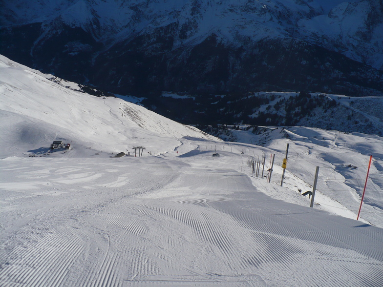
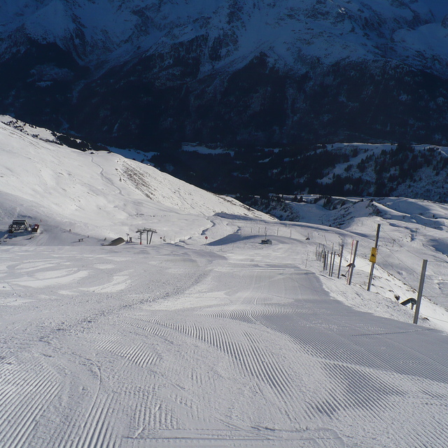
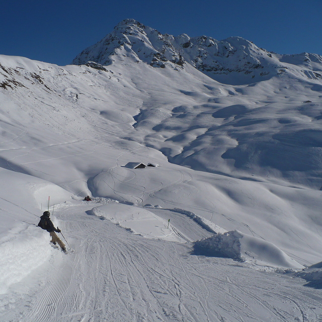
I've been coming here for years and years (the last 5 years for Christmas week with my wife and 3 teenage kids). We all love it. It's been said on most of the other reviews but I'll say it again; it's in a beautiful setting, the locals are friendly, the shops and bars are great, the skiing is absolutely fine if you're anything but an expert skier looking for hard blacks.
The resort is pretty snow-sure, but Christmas week we were very unlucky last year and hardly had anything (although it dumped big time on the day we checked out!). This year isn't looking too good at the moment either, but that's the same everywhere across the Alps at the moment. But even if the snow is no good, Les C is close enough to be able to visit Chamonix easily and other slightly higher resort if necessary. Les Contamines also now has a new swimming pool which is very pleasant.
As a family ski hol, you can't really go too wrong.
Free Snow-Forecast.com weather widget for your website
Embed the Les Contamines weather widget on your site for free. It provides a weekly snapshot of snow and rain conditions across all elevations. Follow the two quick steps to grab your custom code and paste it into your site. Choose between metric or imperial units. Click here to get the code.


 Nearest