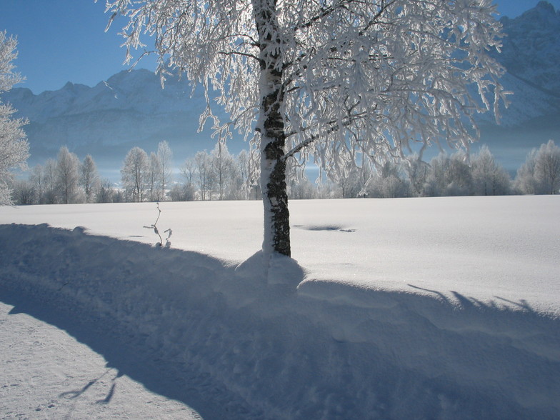
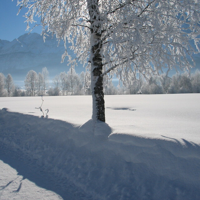
The above table gives the weather forecast for Lermoos at the specific elevation of 1561 m. Our sophisticated weather models allow us to provide snow forecasts for the top, middle and bottom ski stations of Lermoos. To access the weather forecasts for the other elevations, use the tab navigation above the table. For a wider view of the weather, check out the Weather Map of Austria.
Click here to read further information on freezing levels and how we forecast our temperatures.
Excellent resort. As a low-intermediate snowboarder with only UK experience I loved the variety of pistes and no queuing (late Feb). Choice of gondolas or chairlifts. I travelled alone and found everyone very friendly, especially at Tirolhof Hotel which I'd recommend. I speak no German, which would have been useful as they are mostly geared up for Dutch visitors not English. Flew to Munich, about 2 hrs easy drive by hire car and straight onto the pistes before going to hotel. All 5 linked resorts in easy reach but the free bus connections unnecessarily complicated. Driving is easy and parking free and available. Only downside - incessant umpah music from the piste-side facilities - at least the lift to the amazing Zugspitze was playing Pearl Jam. Don't be tempted by the cheapest options in restaurants unless you agree that greasy onion and potato constitutes a meal. Otherwise, excellent - I'll certainly go again if I get a chance and I would fly-drive again.
Excellent resort. As a low-intermediate snowboarder with only UK experience I loved the variety of pistes and no queuing (late Feb). Choice of gondolas or chairlifts. I travelled alone and found everyone very friendly, especially at Tirolhof Hotel which I'd recommend. I speak no German, which would have been useful as they are mostly geared up for Dutch visitors not English. Flew to Munich, about 2 hrs easy drive by hire car and straight onto the pistes before going to hotel. All 5 linked resorts in easy reach but the free bus connections unnecessarily complicated. Driving is easy and parking free and available. Only downside - incessant umpah music from the piste-side facilities - at least the lift to the amazing Zugspitze was playing Pearl Jam. Don't be tempted by the cheapest options in restaurants unless you agree that greasy onion and potato constitutes a meal. Otherwise, excellent - I'll certainly go again if I get a chance and I would fly-drive again.
Free Snow-Forecast.com weather widget for your website
Embed the Lermoos weather widget on your site for free. It provides a weekly snapshot of snow and rain conditions across all elevations. Follow the two quick steps to grab your custom code and paste it into your site. Choose between metric or imperial units. Click here to get the code.


 Nearest