The above table gives the weather forecast for La Villa (Alta Badia) at the specific elevation of 1433 m. Our sophisticated weather models allow us to provide snow forecasts for the top, middle and bottom ski stations of La Villa (Alta Badia). To access the weather forecasts for the other elevations, use the tab navigation above the table. For a wider view of the weather, check out the Weather Map of Italy.
Click here to read further information on freezing levels and how we forecast our temperatures.
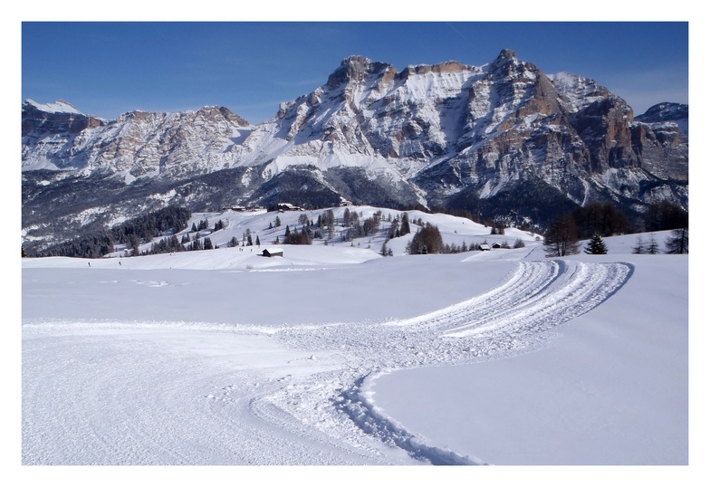
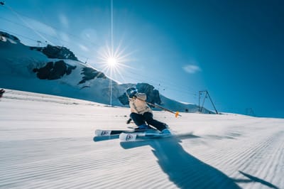
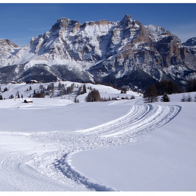
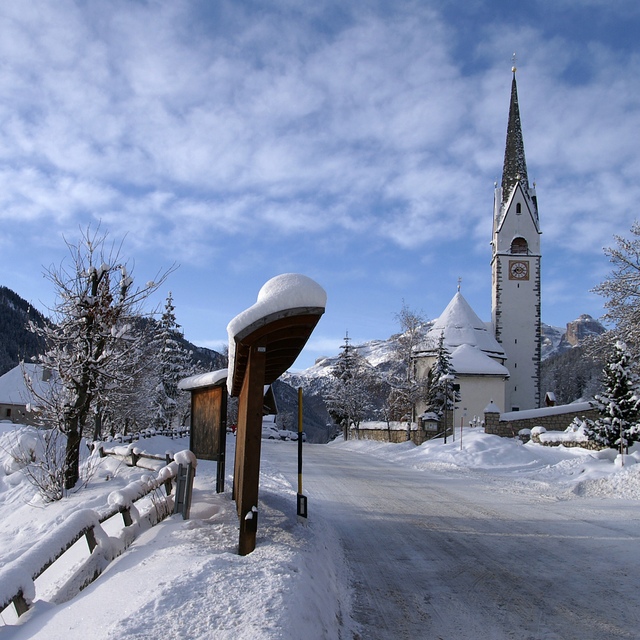
If you are looking for a top-notch skiing resort,this is as good as it gets. Located in Val Badia, in the heart of the Dolomites,La Villa boasts the Alpine Ski World Cup's toughest giant slalom run,the famous Gran Risa (slope: 36% average, 53% maximum) and is connected with 130Km of runs in the valley. The resort is a perfect base for an incredible variety of alternative ski tours across the Dolomites: aside from the well-known Sella Ronda, you can take the 90Km, 8-hour 1st WW ski tour all the way to Alleghe and Zoldo (try the excellent 63% slope black called Laghetto over there!), or ski through Arabba as far as Falcade and Moena in one day! The neighbouring valleys Val Gardena and Arabba also offer world-class black runs, such as the Saslong and Fodoma, respectively. The trendy life and skiing of Cortina are also within reach and next year - once the new Piculin gondola is completed - it will take only 20 min by skibus to access the large resort of Plan de Corones/Kronplatz and its well-known Sylvester black runs. In short, you could ski for 7-10 days without taking the same run twice! Beginners and intermediate skiers and snowboarders will enjoy the very long and generally blue or red runs of Val Badia itself, thanks also to the valleys world-class ski school. The valleys have breathtaking landscapes. Do not miss the incredible scenery on the Lagazuoi run and the unspoilt spots will also give eager photographers a run for their money. Nightlife tend to be subdued, making the place more suitable for families with children and couples looking for romantic dinners.
If you are looking for a top-notch skiing resort,this is as good as it gets. Located in Val Badia, in the heart of the Dolomites,La Villa boasts the Alpine Ski World Cup's toughest giant slalom run,the famous Gran Risa (slope: 36% average, 53% maximum) and is connected with 130Km of runs in the valley. The resort is a perfect base for an incredible variety of alternative ski tours across the Dolomites: aside from the well-known Sella Ronda, you can take the 90Km, 8-hour 1st WW ski tour all the way to Alleghe and Zoldo (try the excellent 63% slope black called Laghetto over there!), or ski through Arabba as far as Falcade and Moena in one day! The neighbouring valleys Val Gardena and Arabba also offer world-class black runs, such as the Saslong and Fodoma, respectively. The trendy life and skiing of Cortina are also within reach and next year - once the new Piculin gondola is completed - it will take only 20 min by skibus to access the large resort of Plan de Corones/Kronplatz and its well-known Sylvester black runs. In short, you could ski for 7-10 days without taking the same run twice! Beginners and intermediate skiers and snowboarders will enjoy the very long and generally blue or red runs of Val Badia itself, thanks also to the valleys world-class ski school. The valleys have breathtaking landscapes. Do not miss the incredible scenery on the Lagazuoi run and the unspoilt spots will also give eager photographers a run for their money. Nightlife tend to be subdued, making the place more suitable for families with children and couples looking for romantic dinners.
Free Snow-Forecast.com weather widget for your website
Embed the La Villa (Alta Badia) weather widget on your site for free. It provides a weekly snapshot of snow and rain conditions across all elevations. Follow the two quick steps to grab your custom code and paste it into your site. Choose between metric or imperial units. Click here to get the code.


 Nearest