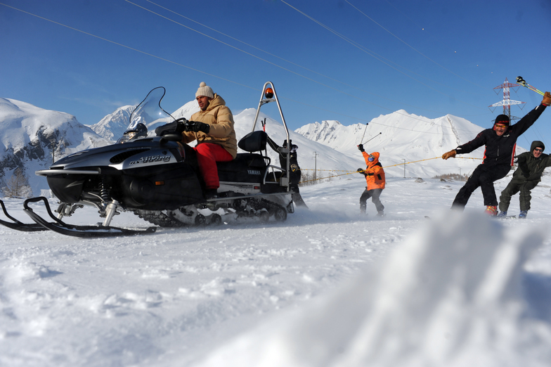


Portillo Re-Opens To Guests Arriving By Helicopter
Chile’s famous Portillo ski resort is reported to have re-opened to guests arriving by helicopter after being cut off by road for more than two weeks by over 6m/20 feet of snowfall.

Next 3 days weather summary:Heavy rain (total 27.0mm), heaviest during Mon night. Very mild (max 15°C on Mon afternoon, min 10°C on Mon night). Wind will be generally light. | Days 4-6 weather summary:Moderate rain (total 14.0mm), heaviest on Thu night. Very mild (max 13°C on Thu afternoon, min 9°C on Thu night). Wind will be generally light. | ||||||||||||||||
Mon 3 | Tuesday 4 | Wednesday 5 | Thursday 6 | Friday 7 | Saturday 8 | ||||||||||||
PM | night | AM | PM | night | AM | PM | night | AM | PM | night | AM | PM | night | AM | PM | night | |
t-storm risk | rain shwrs | t-storm risk | t-storm risk | rain shwrs | clear | t-storm risk | rain shwrs | clear | t-storm risk | rain shwrs | clear | t-storm risk | rain shwrs | clear | clear | clear | |
km/h | |||||||||||||||||
Snow map |  |  |  |  |  |  | |||||||||||
— | — | — | — | — | — | — | — | — | — | — | — | — | — | — | — | — | |
mm | 3 | 5 | 1 | 5 | 5 | — | 4 | 4 | — | 5 | 6 | — | 2 | 1 | — | — | — |
max °C | 15 | 12 | 12 | 13 | 12 | 12 | 13 | 12 | 12 | 13 | 10 | 11 | 12 | 11 | 11 | 13 | 12 |
min °C | 13 | 10 | 11 | 13 | 11 | 11 | 12 | 11 | 11 | 10 | 9 | 9 | 12 | 10 | 10 | 13 | 11 |
chill °C | 13 | 9 | 10 | 13 | 11 | 11 | 12 | 11 | 11 | 9 | 8 | 9 | 12 | 10 | 10 | 13 | 11 |
Humid % | 70 | 77 | 62 | 64 | 72 | 74 | 78 | 57 | 59 | 84 | 73 | 58 | 76 | 78 | 66 | 51 | 53 |
Freeze m | 4500 | 4400 | 4450 | 4500 | 4450 | 4350 | 4450 | 4450 | 4350 | 4250 | 4250 | 4150 | 4350 | 4300 | 4250 | 4500 | 4450 |
— | — | 6:18 | — | — | 6:18 | — | — | 6:20 | — | — | 6:20 | — | — | 6:22 | — | — | |
— | 8:59 | — | — | 8:57 | — | — | 8:55 | — | — | 8:53 | — | — | 8:52 | — | — | 8:52 | |
Go pro and carve into:
Avalanche information: European Avalanche Warning Services (EAWS)
Latest snow reports near La Thuile:
| Top snow depth: | 0 cm |
|---|---|
| Bottom snow depth: | 0 cm |
| Fresh snowfall depth: | — |
| Last snowfall: | 16 May 2026 |
| Snow Alerts | Create Alert |
0.0 | Bluebird Powder days Fresh snow, mostly sunny, light wind. |
|---|---|
0.0 | Powder days Fresh snow, limited sun, any wind. |
0.0 | Bluebird days Average snow, mostly sunny, light wind. |
The above table gives the weather forecast for La Thuile at the specific elevation of 2642 m. Our sophisticated weather models allow us to provide snow forecasts for the top, middle and bottom ski stations of La Thuile. To access the weather forecasts for the other elevations, use the tab navigation above the table. For a wider view of the weather, check out the Weather Map of Italy.
Click here to read further information on freezing levels and how we forecast our temperatures.
Overall 3.8 Based on 42 votes and 37 reviews
Just spent a very enjoyable sunny midweek day in La Thuile with our 5 yr old girl in tow. It has a nice, low key, laid back air about the place, the feel of a proper mountain village, and despite somewhat slightly dated ski resort architecture we were met by very friendly locals in the few bars and cafe's we visited, and enjoyed an easy day of cruising about the relatively compact but enjoyable ski area. It was a few days post a decent fall of snow. So, although mostly tracked out, you can see the potential from the very easily accessable and fun looking off-piste. As a snowboarder, the pistes themselves are definitely on the less challenging side of the scale, but again, with some fresh snow, you can see how the rolling terrain would be fun, and I am sure there are enough challenges to get the heart racing in the right conditions. I will say the lifts are a little dated, with a few slow old lifts thrown into the mix, but there were no queues to be found anywhere of any note, so it really didn't make too much of a difference. Parking was also very easy and inexpensive, and the lift passes reasonable and well tiered if you want to do less than a full day. For kids, there is a free little snow play park with inflatables and toys, and an easily accessable magic carpet area which kept our little one very happily occupied all day as we took turns on the mountain. Definitely one of the better options in the area for a family trip between this set up and the gentle terrain. All in all, a great visit, wonderful views of the Mont Blanc Massif, and a refreshingly low key and genuine feeling resort.
EC from Ireland writes:
Just spent a very enjoyable sunny midweek day in La Thuile with our 5 yr old girl in tow.
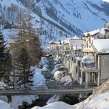
It has a nice, low key, laid back air about the place, the feel of a proper mountain village, and despite somewhat slightly dated ski resort architecture we were met by very friendly locals in the few bars and cafe's we visited, and enjoyed an easy day of cruising about the relatively compact but enjoyable ski area.
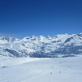
It was a few days post a decent fall of snow. So, although mostly tracked out, you can see the potential from the very easily accessable and fun looking off-piste. As a snowboarder, the pistes themselves are definitely on the less challenging side of the scale, but again, with some fresh snow, you can see how the rolling terrain would be fun, and I am sure there are enough challenges to get the heart racing in the right conditions.
I will say the lifts are a little dated, with a few slow old lifts thrown into the mix, but there were no queues to be found anywhere of any note, so it really didn't make too much of a difference. Parking was also very easy and inexpensive, and the lift passes reasonable and well tiered if you want to do less than a full day.
For kids, there is a free little snow play park with inflatables and toys, and an easily accessable magic carpet area which kept our little one very happily occupied all day as we took turns on the mountain. Definitely one of the better options in the area for a family trip between this set up and the gentle terrain.
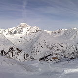
All in all, a great visit, wonderful views of the Mont Blanc Massif, and a refreshingly low key and genuine feeling resort.


 Nearest