The above table gives the weather forecast for La Tania at the specific elevation of 2038 m. Our sophisticated weather models allow us to provide snow forecasts for the top, middle and bottom ski stations of La Tania. To access the weather forecasts for the other elevations, use the tab navigation above the table. For a wider view of the weather, check out the Weather Map of France.
Click here to read further information on freezing levels and how we forecast our temperatures.
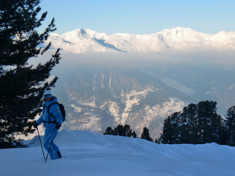
15 years since going to the 3 valleys after vowing never to go to France again after getting fed up with being ripped off -self catered chalet in La Tania not something I’d usually do as not keen on cooking after skiing, but in fairness the couple of restaurants in the village were reasonably priced and varied enough for a week and apres at Le Pub with a band at 5ish most nights worked well. Three valleys skiing is renowned and was never too busy anywhere, but realistically the ski area is just too big for most people and you find yourselves rushing to get somewhere else all day. Lack of recent snow led to some horrid ice wall reds over Meriibel side and the transition runs through Meribel and Mot Terry were hell by lunchtime with bodies all over the place. To be honest the best skiing was Courcheval side and I’d stick with the resort lift pass as there’s plenty that side to keep you amused if I were going again, but realistically you get a lot more holiday for your buck in Austria and Italy.
15 years since going to the 3 valleys after vowing never to go to France again after getting fed up with being ripped off -self catered chalet in La Tania not something I’d usually do as not keen on cooking after skiing, but in fairness the couple of restaurants in the village were reasonably priced and varied enough for a week and apres at Le Pub with a band at 5ish most nights worked well. Three valleys skiing is renowned and was never too busy anywhere, but realistically the ski area is just too big for most people and you find yourselves rushing to get somewhere else all day. Lack of recent snow led to some horrid ice wall reds over Meriibel side and the transition runs through Meribel and Mot Terry were hell by lunchtime with bodies all over the place. To be honest the best skiing was Courcheval side and I’d stick with the resort lift pass as there’s plenty that side to keep you amused if I were going again, but realistically you get a lot more holiday for your buck in Austria and Italy.
Free Snow-Forecast.com weather widget for your website
Embed the La Tania weather widget on your site for free. It provides a weekly snapshot of snow and rain conditions across all elevations. Follow the two quick steps to grab your custom code and paste it into your site. Choose between metric or imperial units. Click here to get the code.


 Nearest