

Portillo Re-Opens To Guests Arriving By Helicopter
Chile’s famous Portillo ski resort is reported to have re-opened to guests arriving by helicopter after being cut off by road for more than two weeks by over 6m/20 feet of snowfall.

Next 3 days weather summary:Heavy rain (total 31.0mm), heaviest during Wed night. Very mild (max 17°C on Mon morning, min 12°C on Tue night). Wind will be generally light. | Days 4-6 weather summary:Heavy rain (total 39.0mm), heaviest during Thu afternoon. Very mild (max 16°C on Thu afternoon, min 9°C on Thu night). Wind will be generally light. | |||||||||||||||||
Monday 3 | Tuesday 4 | Wednesday 5 | Thursday 6 | Friday 7 | Saturday 8 | |||||||||||||
AM | PM | night | AM | PM | night | AM | PM | night | AM | PM | night | AM | PM | night | AM | PM | night | |
clear | t-storm risk | some clouds | clear | mod. rain | rain shwrs | t-storm risk | t-storm risk | rain shwrs | t-storm risk | mod. rain | heavy rain | rain shwrs | t-storm risk | rain shwrs | t-storm risk | t-storm risk | rain shwrs | |
km/h | ||||||||||||||||||
Snow map |  |  |  |  |  |  | ||||||||||||
— | — | — | — | — | — | — | — | — | — | — | — | — | — | — | — | — | — | |
mm | — | 2 | — | — | 6 | 2 | 1 | 6 | 14 | 3 | 9 | 17 | 1 | 3 | 2 | 1 | 2 | 1 |
max °C | 17 | 17 | 16 | 17 | 17 | 15 | 15 | 16 | 14 | 15 | 16 | 12 | 11 | 11 | 10 | 12 | 13 | 12 |
min °C | 14 | 17 | 13 | 14 | 14 | 12 | 13 | 16 | 12 | 13 | 14 | 9 | 9 | 11 | 9 | 10 | 13 | 10 |
chill °C | 14 | 17 | 12 | 14 | 14 | 12 | 13 | 16 | 12 | 13 | 14 | 9 | 9 | 11 | 9 | 10 | 13 | 9 |
Humid % | 46 | 54 | 69 | 51 | 72 | 71 | 67 | 68 | 83 | 65 | 79 | 93 | 78 | 87 | 88 | 76 | 80 | 63 |
Freeze m | 4500 | 4600 | 4450 | 4500 | 4600 | 4500 | 4400 | 4500 | 4400 | 4400 | 4400 | 3950 | 4000 | 4000 | 4050 | 4000 | 4050 | 4250 |
5:56 | — | — | 5:56 | — | — | 5:58 | — | — | 6:00 | — | — | 6:01 | — | — | 6:01 | — | — | |
— | — | 8:46 | — | — | 8:45 | — | — | 8:44 | — | — | 8:42 | — | — | 8:40 | — | — | 8:38 | |
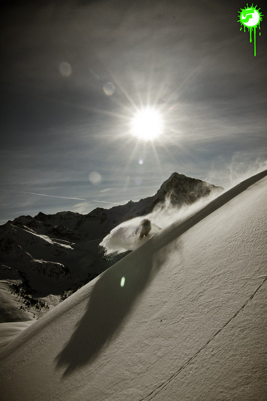
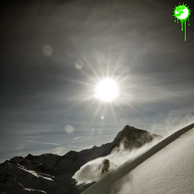
Go pro and carve into:
Avalanche information: European Avalanche Warning Services (EAWS)
Latest snow reports near Kühtai:
| Top snow depth: | 0 cm |
|---|---|
| Bottom snow depth: | 0 cm |
| Fresh snowfall depth: | — |
| Last snowfall: | 10 Jun 2026 |
| Snow Alerts | Create Alert |
0.0 | Bluebird Powder days Fresh snow, mostly sunny, light wind. |
|---|---|
0.0 | Powder days Fresh snow, limited sun, any wind. |
0.0 | Bluebird days Average snow, mostly sunny, light wind. |
The above table gives the weather forecast for Kühtai at the specific elevation of 2270 m. Our sophisticated weather models allow us to provide snow forecasts for the top, middle and bottom ski stations of Kühtai. To access the weather forecasts for the other elevations, use the tab navigation above the table. For a wider view of the weather, check out the Weather Map of Austria.
Click here to read further information on freezing levels and how we forecast our temperatures.
Resort name is also written as Kuehtai.
Overall 4.1 Based on 23 votes and 7 reviews
A long overdue review on Kuhtai, which 've skied may times in the past few years. In short, another classic medium size resort with approx 40 km of pistes which the Austrians do so well. With a base station of 2,000m it's super snow-sure if rather bleak as it's a one street station at the top of a pass, all above the tree line. Make no mistake though, this is a serious ski resort, sporting a modern lift system with all the pistes being either red or black, save one blue run that finishes at the top of a long red canyon; so it's not a resort for beginners! Its serious sporting intent is underlined by the fact the the US World Cup Ski Team is based here when the World Cup is in Europe. The slopes face both north and south so you can follow the sun each day, plus there are plenty of off-piste and back-country opportunities. Subsistence is good value compared to the big resorts like Soelden, Ischgl and St Anton. But best of all is the fact the pistes are generally deserted on mid week days and there are very few Brits around, so you really feel you are on a foreign holiday. Overall, highly recommended for long weekend or away days in neighbouring resorts. It's also worth noting the lift pass is shared with nearby Oetz, another similar sized gem.
Tirolerhund from United Kingdom writes:
A long overdue review on Kuhtai, which 've skied may times in the past few years. In short, another classic medium size resort with approx 40 km of pistes which the Austrians do so well.
With a base station of 2,000m it's super snow-sure if rather bleak as it's a one street station at the top of a pass, all above the tree line.
Make no mistake though, this is a serious ski resort, sporting a modern lift system with all the pistes being either red or black, save one blue run that finishes at the top of a long red canyon; so it's not a resort for beginners!
Its serious sporting intent is underlined by the fact the the US World Cup Ski Team is based here when the World Cup is in Europe.
The slopes face both north and south so you can follow the sun each day, plus there are plenty of off-piste and back-country opportunities.
Subsistence is good value compared to the big resorts like Soelden, Ischgl and St Anton. But best of all is the fact the pistes are generally deserted on mid week days and there are very few Brits around, so you really feel you are on a foreign holiday.
Overall, highly recommended for long weekend or away days in neighbouring resorts. It's also worth noting the lift pass is shared with nearby Oetz, another similar sized gem.


 Nearest