

Portillo Re-Opens To Guests Arriving By Helicopter
Chile’s famous Portillo ski resort is reported to have re-opened to guests arriving by helicopter after being cut off by road for more than two weeks by over 6m/20 feet of snowfall.

Next 3 days weather summary:Heavy rain (total 30.0mm), heaviest during Wed night. Warm (max 20°C on Tue morning, min 11°C on Tue night). Wind will be generally light. | Days 4-6 weather summary:Heavy rain (total 34.0mm), heaviest during Thu afternoon. Very mild (max 16°C on Thu afternoon, min 8°C on Fri night). Wind will be generally light. | ||||||||||||||||
Mon 3 | Tuesday 4 | Wednesday 5 | Thursday 6 | Friday 7 | Saturday 8 | ||||||||||||
PM | night | AM | PM | night | AM | PM | night | AM | PM | night | AM | PM | night | AM | PM | night | |
rain shwrs | some clouds | clear | t-storm risk | rain shwrs | t-storm risk | t-storm risk | rain shwrs | t-storm risk | t-storm risk | heavy rain | t-storm risk | t-storm risk | rain shwrs | some clouds | t-storm risk | rain shwrs | |
km/h | |||||||||||||||||
Snow map |  |  |  |  |  |  | |||||||||||
— | — | — | — | — | — | — | — | — | — | — | — | — | — | — | — | — | |
mm | 2 | — | — | 3 | 1 | 1 | 5 | 13 | 5 | 10 | 14 | 2 | 4 | 1 | — | 2 | 1 |
max °C | 19 | 16 | 20 | 19 | 15 | 18 | 19 | 14 | 16 | 16 | 12 | 12 | 14 | 11 | 15 | 14 | 12 |
min °C | 15 | 12 | 15 | 16 | 11 | 14 | 17 | 11 | 13 | 15 | 9 | 10 | 12 | 8 | 11 | 13 | 9 |
chill °C | 15 | 12 | 15 | 16 | 11 | 14 | 17 | 11 | 13 | 15 | 9 | 10 | 12 | 8 | 11 | 13 | 9 |
Humid % | 65 | 65 | 47 | 68 | 70 | 64 | 68 | 87 | 70 | 74 | 99 | 85 | 84 | 88 | 72 | 78 | 69 |
Freeze m | 4500 | 4500 | 4500 | 4600 | 4500 | 4400 | 4550 | 4400 | 4350 | 4350 | 3950 | 3950 | 4000 | 4100 | 4000 | 4150 | 4350 |
— | — | 5:56 | — | — | 5:58 | — | — | 6:00 | — | — | 6:01 | — | — | 6:01 | — | — | |
— | 8:46 | — | — | 8:45 | — | — | 8:44 | — | — | 8:42 | — | — | 8:40 | — | — | 8:38 | |
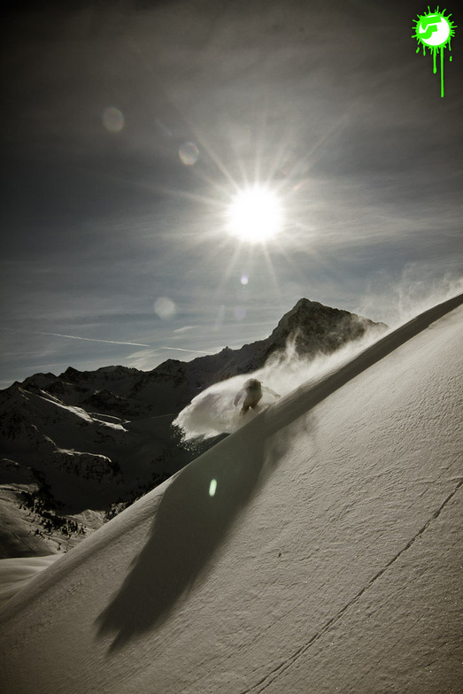
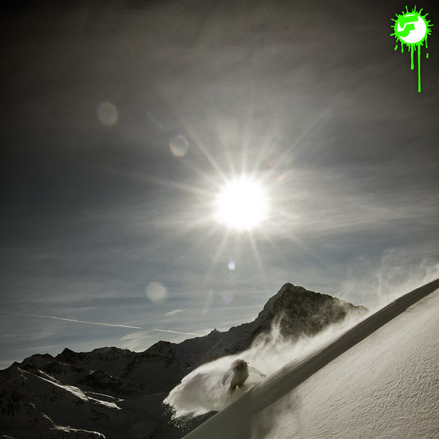
Go pro and carve into:
Avalanche information: European Avalanche Warning Services (EAWS)
Latest snow reports near Kühtai:
| Top snow depth: | 0 cm |
|---|---|
| Bottom snow depth: | 0 cm |
| Fresh snowfall depth: | — |
| Last snowfall: | 10 Jun 2026 |
| Snow Alerts | Create Alert |
0.0 | Bluebird Powder days Fresh snow, mostly sunny, light wind. |
|---|---|
0.0 | Powder days Fresh snow, limited sun, any wind. |
0.0 | Bluebird days Average snow, mostly sunny, light wind. |
The above table gives the weather forecast for Kühtai at the specific elevation of 2020 m. Our sophisticated weather models allow us to provide snow forecasts for the top, middle and bottom ski stations of Kühtai. To access the weather forecasts for the other elevations, use the tab navigation above the table. For a wider view of the weather, check out the Weather Map of Austria.
Click here to read further information on freezing levels and how we forecast our temperatures.
Resort name is also written as Kuehtai.
Overall 4.1 Based on 23 votes and 7 reviews
Kuthai is a very good resort! We booked our holiday and were staying in Gries im Sellrain just down the valley and went up to Kuthai most days (we also went to the superb Stubai Glacier). All together the resort was well equipped and the lift prices were quite reasonable! However, the area is only about 50km of slopes so for a couple of days in a week you should plan some excursions. Luckily, there is a ski bus to the neighbouring resort of Oetz. Accommodation: There is quite a lot in the town. December 28th 2012.
Will from United Kingdom writes:
Kuthai is a very good resort! We booked our holiday and were staying in Gries im Sellrain just down the valley and went up to Kuthai most days (we also went to the superb Stubai Glacier). All together the resort was well equipped and the lift prices were quite reasonable! However, the area is only about 50km of slopes so for a couple of days in a week you should plan some excursions. Luckily, there is a ski bus to the neighbouring resort of Oetz.
Accommodation: There is quite a lot in the town.
December 28th 2012.


 Nearest