The above table gives the weather forecast for Klausberg at the specific elevation of 1052 m. Our sophisticated weather models allow us to provide snow forecasts for the top, middle and bottom ski stations of Klausberg. To access the weather forecasts for the other elevations, use the tab navigation above the table. For a wider view of the weather, check out the Weather Map of Italy.
Click here to read further information on freezing levels and how we forecast our temperatures.
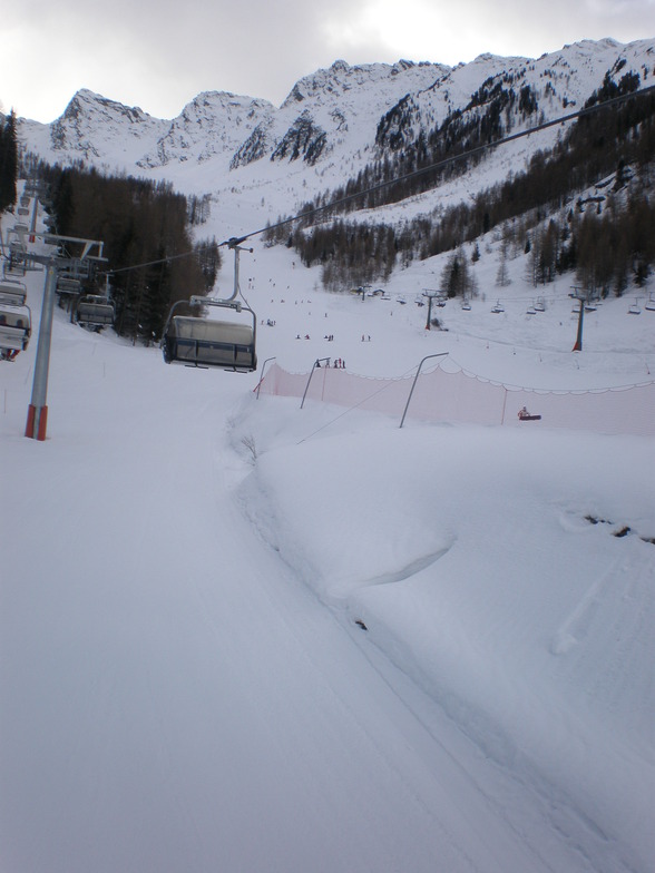
Klausberg is a truly wonderful ski resort. It's main attraction is that there are no other Brits there for the majority of the time, only one English school go there as they have done for the last 13 years.
We have been going for 13 yrs at various dates in Jan and Feb and there have never been any other Brits in our hotel. In some ways I would like to write a bad review so I could selfishly keep this place to ourselves, but I know hotels are struggling. I have never ever told anyone but a select few before where we go as it has been our secret. We did go to France one year and it cost us three times the amount for the same food up the mountain. This year the same food was still half what we paid in Val T then.
Klausberg is great but please don't go.
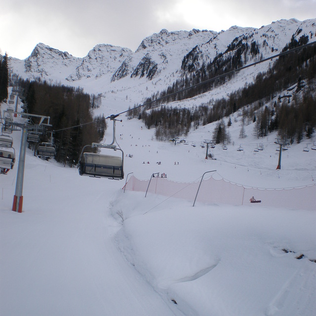
Free Snow-Forecast.com weather widget for your website
Embed the Klausberg weather widget on your site for free. It provides a weekly snapshot of snow and rain conditions across all elevations. Follow the two quick steps to grab your custom code and paste it into your site. Choose between metric or imperial units. Click here to get the code.


 Nearest