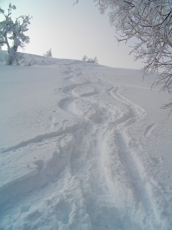


Portillo Storm Snowfall Total Passes 5m / 17 Feet
A snow storm that has now continued for nine days has taken Chilean ski resort Portillo to a snowfall total of 5.2 metres (17 feet) so far, with more snow forecast.

Next 3 days weather summary:Heavy rain (total 30.0mm), heaviest during Thu night. Very mild (max 16°C on Thu morning, min 13°C on Fri night). Wind will be generally light. | Days 4-6 weather summary:Mostly dry. Warm (max 20°C on Sun afternoon, min 15°C on Sun night). Wind will be generally light. | |||||||||||||||||
Thursday 30 | Friday 31 | Saturday 1 | Sunday 2 | Monday 3 | Tuesday 4 | |||||||||||||
AM | PM | night | AM | PM | night | AM | PM | night | AM | PM | night | AM | PM | night | AM | PM | night | |
light rain | light rain | heavy rain | light rain | light rain | light rain | light rain | light rain | clear | clear | clear | clear | clear | clear | some clouds | cloudy | some clouds | clear | |
km/h | ||||||||||||||||||
Snow map |  |  |  |  |  |  | ||||||||||||
— | — | — | — | — | — | — | — | — | — | — | — | — | — | — | — | — | — | |
mm | 2 | 3 | 13 | 2 | 2 | 4 | 2 | 2 | — | — | — | — | — | — | — | — | — | — |
max °C | 16 | 16 | 15 | 15 | 15 | 14 | 15 | 16 | 14 | 19 | 20 | 16 | 20 | 20 | 16 | 19 | 19 | 17 |
min °C | 15 | 15 | 15 | 15 | 15 | 13 | 13 | 15 | 14 | 17 | 18 | 15 | 18 | 18 | 16 | 18 | 18 | 16 |
chill °C | 14 | 14 | 14 | 15 | 15 | 13 | 13 | 15 | 14 | 17 | 18 | 15 | 18 | 18 | 16 | 18 | 18 | 16 |
Humid % | 97 | 94 | 99 | 97 | 98 | 95 | 95 | 84 | 89 | 65 | 68 | 92 | 65 | 72 | 79 | 66 | 71 | 85 |
Freeze m | 4100 | 4150 | 3900 | 3850 | 3950 | 4050 | 4250 | 4400 | 4350 | 4350 | 4600 | 4800 | 4850 | 4900 | 5100 | 5050 | 5050 | 5100 |
4:16 | — | — | 4:18 | — | — | 4:18 | — | — | 4:20 | — | — | 4:20 | — | — | 4:22 | — | — | |
— | 6:57 | — | — | 6:55 | — | — | 6:54 | — | — | 6:53 | — | — | 6:52 | — | — | 6:51 | — | |
Go pro and carve into:
Avalanche information: Japan Avalanche Network
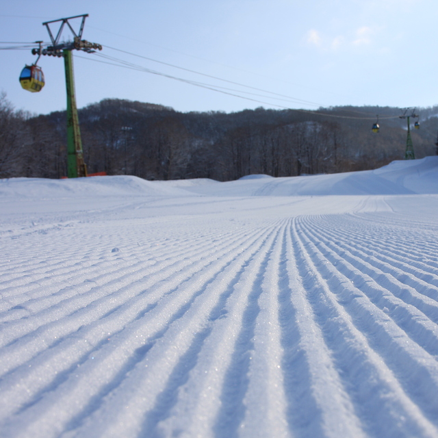
Latest snow reports near Kamui Ski Links:
| Top snow depth: | 0 cm |
|---|---|
| Bottom snow depth: | 0 cm |
| Fresh snowfall depth: | — |
| Last snowfall: | 9 May 2026 |
| Snow Alerts | Create Alert |
0.0 | Bluebird Powder days Fresh snow, mostly sunny, light wind. |
|---|---|
0.0 | Powder days Fresh snow, limited sun, any wind. |
0.0 | Bluebird days Average snow, mostly sunny, light wind. |
The above table gives the weather forecast for Kamui Ski Links at the specific elevation of 751 m. Our sophisticated weather models allow us to provide snow forecasts for the top, middle and bottom ski stations of Kamui Ski Links. To access the weather forecasts for the other elevations, use the tab navigation above the table. For a wider view of the weather, check out the Weather Map of Japan.
Click here to read further information on freezing levels and how we forecast our temperatures.
Overall 3.3 Based on 16 votes and 1 review
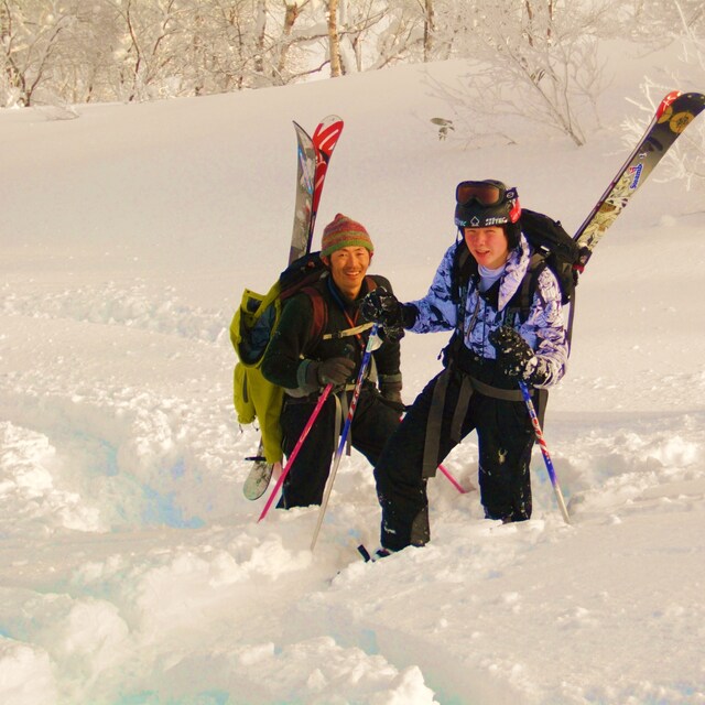
My wife and I skied at Kamui Ski Links in December 2018 as part of a three-week tour of Hokkaido. We were pleasantly surprised by the quality of snow, relaxed approach to off-piste skiing, and the giant portions of curry at the main restaurant. We can't wait to get back there, especially mid-season when the snow will surely be even better!
Sonny Rosenthal from Singapore writes:
My wife and I skied at Kamui Ski Links in December 2018 as part of a three-week tour of Hokkaido. We were pleasantly surprised by the quality of snow, relaxed approach to off-piste skiing, and the giant portions of curry at the main restaurant. We can't wait to get back there, especially mid-season when the snow will surely be even better!


 Nearest