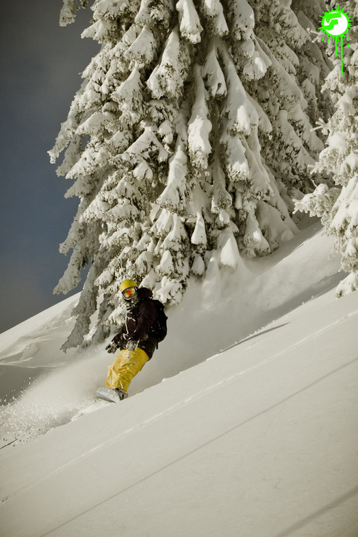


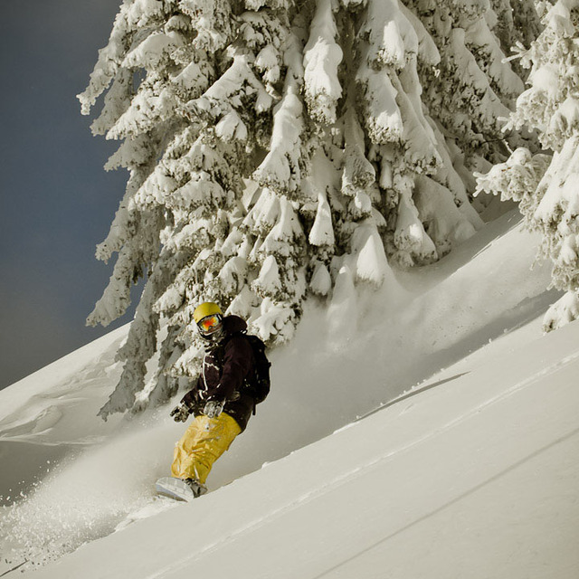
Portillo Re-Opens To Guests Arriving By Helicopter
Chile’s famous Portillo ski resort is reported to have re-opened to guests arriving by helicopter after being cut off by road for more than two weeks by over 6m/20 feet of snowfall.

Next 3 days weather summary:Heavy rain (total 22.0mm), heaviest during Wed night. Warm (max 26°C on Mon afternoon, min 18°C on Wed night). Wind will be generally light. | Days 4-6 weather summary:Heavy rain (total 49.0mm), heaviest during Thu night. Warm (max 22°C on Thu afternoon, min 14°C on Thu night). Wind will be generally light. | |||||||||||||||||
Monday 3 | Tuesday 4 | Wednesday 5 | Thursday 6 | Friday 7 | Saturday 8 | |||||||||||||
AM | PM | night | AM | PM | night | AM | PM | night | AM | PM | night | AM | PM | night | AM | PM | night | |
clear | light rain | rain shwrs | clear | clear | rain shwrs | t-storm risk | t-storm risk | heavy rain | t-storm risk | t-storm risk | heavy rain | light rain | t-storm risk | rain shwrs | clear | t-storm risk | rain shwrs | |
km/h | ||||||||||||||||||
Snow map |  |  |  |  |  |  | ||||||||||||
— | — | — | — | — | — | — | — | — | — | — | — | — | — | — | — | — | — | |
mm | — | 1 | 1 | — | — | 3 | 2 | 2 | 13 | 4 | 2 | 31 | 5 | 2 | 2 | — | 2 | 1 |
max °C | 24 | 26 | 21 | 23 | 26 | 23 | 20 | 24 | 22 | 20 | 22 | 19 | 15 | 17 | 16 | 17 | 19 | 18 |
min °C | 22 | 21 | 20 | 22 | 26 | 19 | 19 | 23 | 18 | 18 | 22 | 14 | 14 | 16 | 14 | 15 | 19 | 16 |
chill °C | 22 | 21 | 20 | 22 | 26 | 19 | 19 | 23 | 18 | 18 | 22 | 14 | 14 | 16 | 14 | 15 | 19 | 16 |
Humid % | 44 | 55 | 49 | 45 | 42 | 65 | 70 | 57 | 82 | 68 | 63 | 98 | 91 | 85 | 88 | 70 | 66 | 75 |
Freeze m | 4450 | 4500 | 4550 | 4500 | 4600 | 4500 | 4450 | 4450 | 4400 | 4400 | 4400 | 3900 | 3950 | 4000 | 3850 | 3950 | 4050 | 4100 |
5:50 | — | — | 5:52 | — | — | 5:52 | — | — | 5:54 | — | — | 5:56 | — | — | 5:56 | — | — | |
— | — | 8:43 | — | — | 8:40 | — | — | 8:39 | — | — | 8:37 | — | — | 8:37 | — | — | 8:35 | |
Go pro and carve into:
Avalanche information: European Avalanche Warning Services (EAWS)
Latest snow reports near Hopfgarten (SkiWelt):
| Top snow depth: | — |
|---|---|
| Bottom snow depth: | — |
| Fresh snowfall depth: | — |
| Last snowfall: | 16 May 2026 |
| Snow Alerts | Create Alert |
0.0 | Bluebird Powder days Fresh snow, mostly sunny, light wind. |
|---|---|
0.0 | Powder days Fresh snow, limited sun, any wind. |
0.0 | Bluebird days Average snow, mostly sunny, light wind. |
The above table gives the weather forecast for Hopfgarten (SkiWelt) at the specific elevation of 1288 m. Our sophisticated weather models allow us to provide snow forecasts for the top, middle and bottom ski stations of Hopfgarten (SkiWelt). To access the weather forecasts for the other elevations, use the tab navigation above the table. For a wider view of the weather, check out the Weather Map of Austria.
Click here to read further information on freezing levels and how we forecast our temperatures.
Resort name is also written as Hopfgarten.
Overall 4.5 Based on 2 votes and 5 reviews
I love this place; used it heavily in the late 80’s early 90’s (Xmas and New-year). Had an accident so I was out for a few years. Returned in 2012, all but a few lifts replaced so it's all state of the art. 2013 had little snow but that didn’t matter they make their own very well. Will be returning Xmas 2014/15. Love the place and always will. Skied Italy, France, Germany and Canada on many occasions. They don’t beat the SkiWelt Wilder Kaiser Brixental. Enjoy!
Stephen Barker from United Kingdom writes:
I love this place; used it heavily in the late 80’s early 90’s (Xmas and New-year). Had an accident so I was out for a few years. Returned in 2012, all but a few lifts replaced so it's all state of the art. 2013 had little snow but that didn’t matter they make their own very well. Will be returning Xmas 2014/15. Love the place and always will. Skied Italy, France, Germany and Canada on many occasions. They don’t beat the SkiWelt Wilder Kaiser Brixental.
Enjoy!
Read 4 more reviews of Hopfgarten (SkiWelt) or submit your own


 Nearest