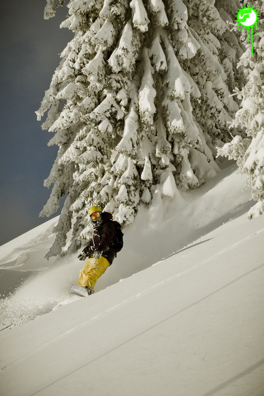


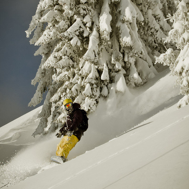
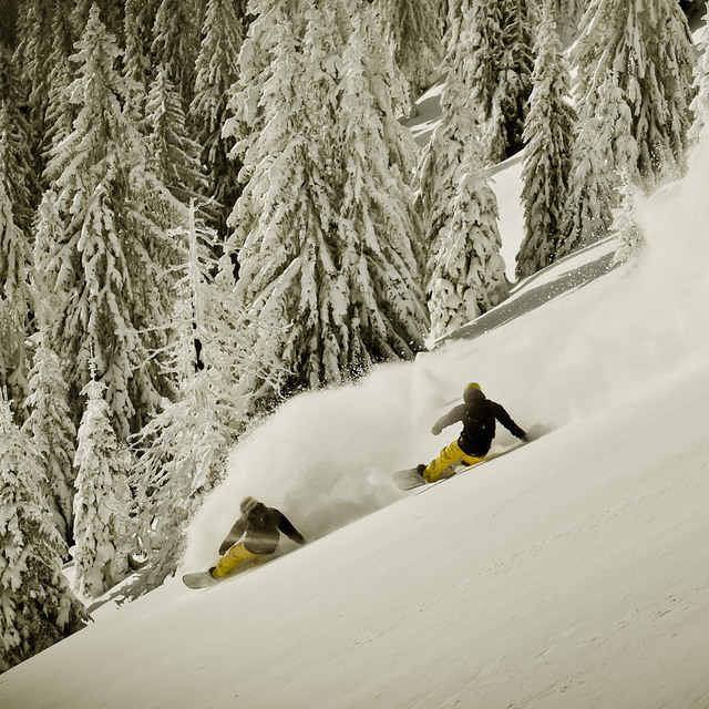
Portillo Re-Opens To Guests Arriving By Helicopter
Chile’s famous Portillo ski resort is reported to have re-opened to guests arriving by helicopter after being cut off by road for more than two weeks by over 6m/20 feet of snowfall.

Next 3 days weather summary:Heavy rain (total 22.0mm), heaviest during Wed night. Warm (max 32°C on Mon afternoon, min 17°C on Tue night). Wind will be generally light. | Days 4-6 weather summary:Heavy rain (total 49.0mm), heaviest during Thu night. Warm (max 28°C on Thu afternoon, min 15°C on Sat night). Wind will be generally light. | |||||||||||||||||
Monday 3 | Tuesday 4 | Wednesday 5 | Thursday 6 | Friday 7 | Saturday 8 | |||||||||||||
AM | PM | night | AM | PM | night | AM | PM | night | AM | PM | night | AM | PM | night | AM | PM | night | |
clear | light rain | rain shwrs | clear | clear | rain shwrs | t-storm risk | t-storm risk | heavy rain | t-storm risk | t-storm risk | heavy rain | light rain | t-storm risk | rain shwrs | clear | t-storm risk | rain shwrs | |
km/h | ||||||||||||||||||
Snow map |  |  |  |  |  |  | ||||||||||||
— | — | — | — | — | — | — | — | — | — | — | — | — | — | — | — | — | — | |
mm | — | 1 | 1 | — | — | 3 | 2 | 2 | 13 | 4 | 2 | 31 | 5 | 2 | 2 | — | 2 | 1 |
max °C | 30 | 32 | 21 | 29 | 32 | 22 | 27 | 29 | 23 | 24 | 28 | 21 | 20 | 23 | 19 | 24 | 25 | 21 |
min °C | 22 | 22 | 18 | 22 | 29 | 17 | 21 | 29 | 18 | 20 | 27 | 17 | 17 | 20 | 16 | 18 | 22 | 15 |
chill °C | 22 | 22 | 18 | 22 | 29 | 17 | 21 | 29 | 18 | 20 | 27 | 17 | 17 | 20 | 16 | 18 | 22 | 15 |
Humid % | 41 | 65 | 59 | 43 | 43 | 75 | 64 | 54 | 88 | 69 | 58 | 98 | 85 | 84 | 89 | 64 | 68 | 82 |
Freeze m | 4450 | 4500 | 4550 | 4500 | 4600 | 4500 | 4450 | 4450 | 4400 | 4400 | 4400 | 3900 | 3950 | 4000 | 3850 | 3950 | 4050 | 4100 |
5:50 | — | — | 5:52 | — | — | 5:52 | — | — | 5:54 | — | — | 5:56 | — | — | 5:56 | — | — | |
— | — | 8:43 | — | — | 8:40 | — | — | 8:39 | — | — | 8:37 | — | — | 8:37 | — | — | 8:35 | |
Go pro and carve into:
Avalanche information: European Avalanche Warning Services (EAWS)
Latest snow reports near Hopfgarten (SkiWelt):
| Top snow depth: | — |
|---|---|
| Bottom snow depth: | — |
| Fresh snowfall depth: | — |
| Last snowfall: | 16 May 2026 |
| Snow Alerts | Create Alert |
0.0 | Bluebird Powder days Fresh snow, mostly sunny, light wind. |
|---|---|
0.0 | Powder days Fresh snow, limited sun, any wind. |
0.0 | Bluebird days Average snow, mostly sunny, light wind. |
The above table gives the weather forecast for Hopfgarten (SkiWelt) at the specific elevation of 620 m. Our sophisticated weather models allow us to provide snow forecasts for the top, middle and bottom ski stations of Hopfgarten (SkiWelt). To access the weather forecasts for the other elevations, use the tab navigation above the table. For a wider view of the weather, check out the Weather Map of Austria.
Click here to read further information on freezing levels and how we forecast our temperatures.
Resort name is also written as Hopfgarten.
Overall 4.5 Based on 2 votes and 5 reviews
Just come back from a weeks stay in Hopfgarten. Stayed at Sport Hotel Fuchs (location fantastic) 35 paces from ski hire shop (Kurtz). Excellent service in the ski shop. From the ski shop to the lift for the gondola another 11 paces. This is a good resort for intermediates / advanced skiers but not really a beginners resort. You have to go down red runs to get to the easier blues in Brixem. In Hopfgarten itself I only found two blue runs. Number 25 which was very busy with people trying to access other lifts. Number 20 which is a red / blue run, back to Hopfgarten. The resort itself is very quiet, there were no queues for the gondola. If you want easy access to the Ski Welt area in a quiet resort, Hopfgarten is the place to go. Peter
Peter Cartwright from United Kingdom writes:
Just come back from a weeks stay in Hopfgarten.
Stayed at Sport Hotel Fuchs (location fantastic) 35 paces from ski hire shop (Kurtz). Excellent service in the ski shop.
From the ski shop to the lift for the gondola another 11 paces.
This is a good resort for intermediates / advanced skiers but not really a beginners resort.
You have to go down red runs to get to the easier blues in Brixem.
In Hopfgarten itself I only found two blue runs.
Number 25 which was very busy with people trying to access other lifts.
Number 20 which is a red / blue run, back to Hopfgarten.
The resort itself is very quiet, there were no queues for the gondola.
If you want easy access to the Ski Welt area in a quiet resort, Hopfgarten is the place to go.
Peter
Read 4 more reviews of Hopfgarten (SkiWelt) or submit your own


 Nearest