The above table gives the weather forecast for Hochkar-Göstling at the specific elevation of 1807 m. Our sophisticated weather models allow us to provide snow forecasts for the top, middle and bottom ski stations of Hochkar-Göstling. To access the weather forecasts for the other elevations, use the tab navigation above the table. For a wider view of the weather, check out the Weather Map of Austria.
Click here to read further information on freezing levels and how we forecast our temperatures.
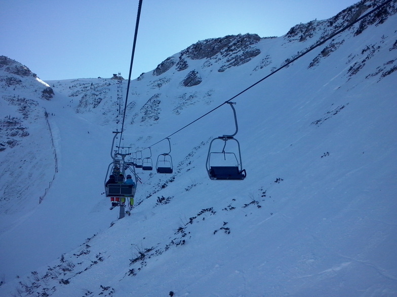
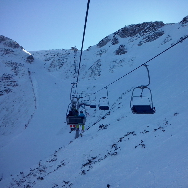
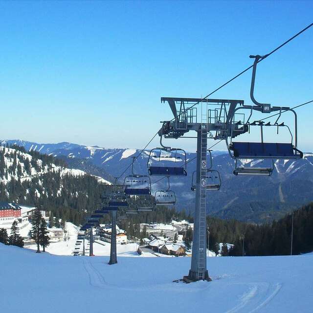
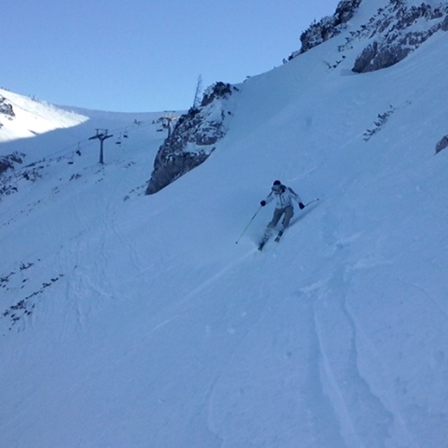
I skied here on their last open weekend in April of 2008. With about 10 cm of fresh snow and about 20 other skiers on the mountain, it was an amazing day. Unfortunately the low clouds limited my ability to explore, but I was in untracked powder all day, often in the low trees. Most of the on-mountain facilities were closed for the season, but I only needed the one chalet that was open for a Kasekrainer and Almdudler. As I pulled out of the parking lot at the end of the day, the clouds lifted to show more of the mountain that I hadn't had time to reach. This isn't a destination ski resort, but it's close enough to Vienna to provide, for me at least, some excellent unexpected thrills.
I skied here on their last open weekend in April of 2008. With about 10 cm of fresh snow and about 20 other skiers on the mountain, it was an amazing day. Unfortunately the low clouds limited my ability to explore, but I was in untracked powder all day, often in the low trees. Most of the on-mountain facilities were closed for the season, but I only needed the one chalet that was open for a Kasekrainer and Almdudler. As I pulled out of the parking lot at the end of the day, the clouds lifted to show more of the mountain that I hadn't had time to reach. This isn't a destination ski resort, but it's close enough to Vienna to provide, for me at least, some excellent unexpected thrills.
Free Snow-Forecast.com weather widget for your website
Embed the Hochkar-Göstling weather widget on your site for free. It provides a weekly snapshot of snow and rain conditions across all elevations. Follow the two quick steps to grab your custom code and paste it into your site. Choose between metric or imperial units. Click here to get the code.


 Nearest