

Banff Sunshine Village Opening for Summer Skiing
Banff Sunshine Village has confirmed it will reopen for a fortnight of summer skiing, from this weekend. The only ski area in Canada to be open into July.

Next 3 days weather summary:Light rain (total 6.0mm), mostly falling on Wed morning. Very mild (max 16°C on Fri afternoon, min 11°C on Wed morning). Wind will be generally light. | Days 4-6 weather summary:Heavy rain (total 50.0mm), heaviest during Mon afternoon. Very mild (max 17°C on Sat afternoon, min 8°C on Mon night). Wind will be generally light. | |||||||||||||||||
Wednesday 24 | Thursday 25 | Friday 26 | Saturday 27 | Sunday 28 | Monday 29 | |||||||||||||
AM | PM | night | AM | PM | night | AM | PM | night | AM | PM | night | AM | PM | night | AM | PM | night | |
rain shwrs | rain shwrs | rain shwrs | clear | clear | clear | clear | some clouds | t-storm risk | clear | mod. rain | rain shwrs | clear | t-storm risk | rain shwrs | some clouds | t-storm risk | light rain | |
km/h | ||||||||||||||||||
Snow map |  |  |  |  |  |  | ||||||||||||
— | — | — | — | — | — | — | — | — | — | — | — | — | — | — | — | — | — | |
mm | 1 | 1 | 1 | — | — | — | — | — | 3 | — | 6 | 4 | — | 2 | 14 | — | 20 | 4 |
max °C | 13 | 14 | 13 | 14 | 15 | 14 | 14 | 16 | 15 | 15 | 17 | 13 | 15 | 15 | 13 | 14 | 14 | 10 |
min °C | 11 | 14 | 11 | 12 | 15 | 12 | 13 | 16 | 13 | 14 | 13 | 13 | 13 | 14 | 12 | 12 | 11 | 8 |
chill °C | 11 | 14 | 11 | 12 | 15 | 12 | 13 | 16 | 13 | 14 | 13 | 12 | 12 | 14 | 11 | 12 | 11 | 8 |
Humid % | 58 | 71 | 66 | 40 | 59 | 64 | 58 | 64 | 67 | 64 | 71 | 62 | 64 | 75 | 58 | 58 | 84 | 87 |
Freeze m | 4200 | 4350 | 4350 | 4400 | 4500 | 4500 | 4450 | 4600 | 4600 | 4550 | 4600 | 4650 | 4500 | 4600 | 4650 | 4500 | 4400 | 4150 |
5:16 | — | — | 5:16 | — | — | 5:16 | — | — | 5:18 | — | — | 5:18 | — | — | 5:18 | — | — | |
— | — | 9:13 | — | — | 9:13 | — | — | 9:13 | — | — | 9:13 | — | — | 9:13 | — | — | 9:13 | |
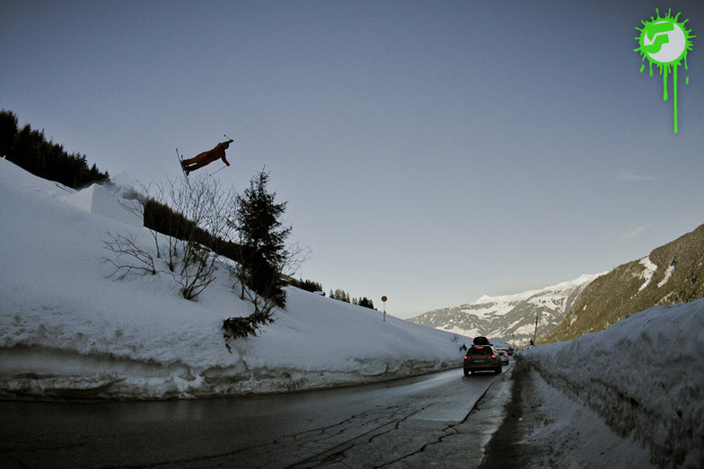
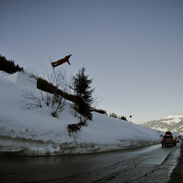
Go pro and carve into:
Avalanche information: European Avalanche Warning Services (EAWS)
Latest snow reports near Hochfügen:
| Top snow depth: | 0 cm |
|---|---|
| Bottom snow depth: | 0 cm |
| Fresh snowfall depth: | — |
| Last snowfall: | 10 Jun 2026 |
| Snow Alerts | Create Alert |
0.0 | Bluebird Powder days Fresh snow, mostly sunny, light wind. |
|---|---|
0.1 | Powder days Fresh snow, limited sun, any wind. |
0.1 | Bluebird days Average snow, mostly sunny, light wind. |
The above table gives the weather forecast for Hochfügen at the specific elevation of 2499 m. Our sophisticated weather models allow us to provide snow forecasts for the top, middle and bottom ski stations of Hochfügen. To access the weather forecasts for the other elevations, use the tab navigation above the table. For a wider view of the weather, check out the Weather Map of Austria.
Click here to read further information on freezing levels and how we forecast our temperatures.
Resort name is also written as Hochfugen.
Overall 3.8 Based on 13 votes and 2 reviews
Went to Hochfugen, boarding in 2012. What an unexpected experience! We had some epic powder and with this the area was sweet as! Some great tree runs and nice pistes too; fast lifts. Even without the powder this place would be good for keeping intermediate /advanced riders happy enough with some nice pistes on offer. Whitelines have just had it in their top 5 of 10 hidden gem resorts. If you're in the Zillertal valley then make sure you check this place out. As for staying and eating there, there are only a couple of hotels and a couple of pubs were seen so would imagine it would be quiet at night although just down the road Is Fugen which had much more going on and most people staying here were heading up to Hochfugen each day to ski/board on a 10 minute bus ride.
Kieran Mahoney from Isle of Man writes:
Went to Hochfugen, boarding in 2012. What an unexpected experience! We had some epic powder and with this the area was sweet as! Some great tree runs and nice pistes too; fast lifts. Even without the powder this place would be good for keeping intermediate /advanced riders happy enough with some nice pistes on offer. Whitelines have just had it in their top 5 of 10 hidden gem resorts. If you're in the Zillertal valley then make sure you check this place out.
As for staying and eating there, there are only a couple of hotels and a couple of pubs were seen so would imagine it would be quiet at night although just down the road Is Fugen which had much more going on and most people staying here were heading up to Hochfugen each day to ski/board on a 10 minute bus ride.


 Nearest