The above table gives the weather forecast for Hochfügen at the specific elevation of 1499 m. Our sophisticated weather models allow us to provide snow forecasts for the top, middle and bottom ski stations of Hochfügen. To access the weather forecasts for the other elevations, use the tab navigation above the table. For a wider view of the weather, check out the Weather Map of Austria.
Click here to read further information on freezing levels and how we forecast our temperatures.
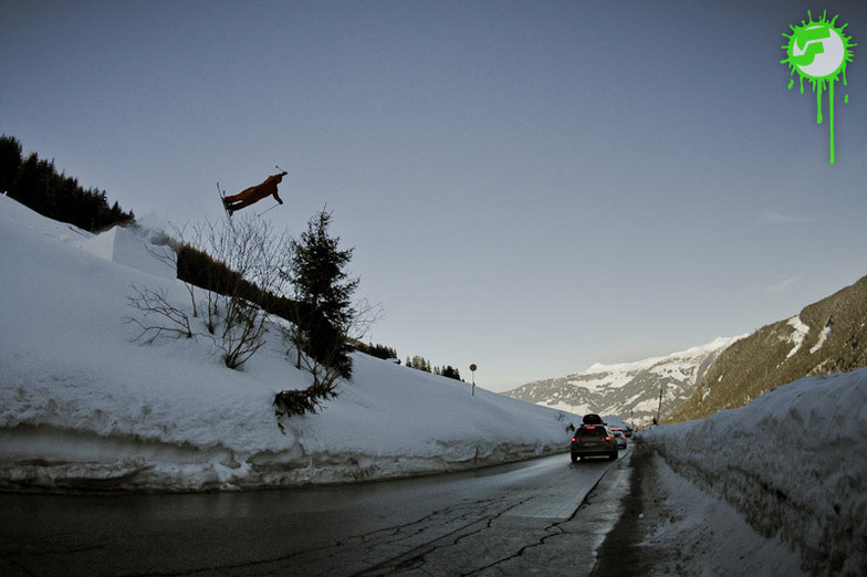
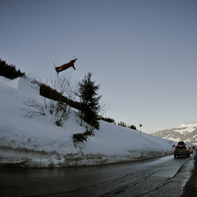
Went to Hochfugen, boarding in 2012. What an unexpected experience! We had some epic powder and with this the area was sweet as! Some great tree runs and nice pistes too; fast lifts. Even without the powder this place would be good for keeping intermediate /advanced riders happy enough with some nice pistes on offer. Whitelines have just had it in their top 5 of 10 hidden gem resorts. If you're in the Zillertal valley then make sure you check this place out.
As for staying and eating there, there are only a couple of hotels and a couple of pubs were seen so would imagine it would be quiet at night although just down the road Is Fugen which had much more going on and most people staying here were heading up to Hochfugen each day to ski/board on a 10 minute bus ride.
Free Snow-Forecast.com weather widget for your website
Embed the Hochfügen weather widget on your site for free. It provides a weekly snapshot of snow and rain conditions across all elevations. Follow the two quick steps to grab your custom code and paste it into your site. Choose between metric or imperial units. Click here to get the code.


 Nearest