Weather Forecast for Hlidarfjall Akureyri at980m altitude
Issued: 11 am 30 Jun 2026 (local time)
Forecast update in hr min
Next snow in Hlíðarfjall Akureyri: 0.4cm on Thu 2nd (after 6 PM local time)
View forecast
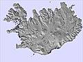
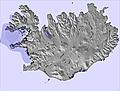
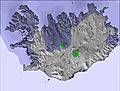
Hlíðarfjall Akureyriat 980 m altitude
Issued by Snow-Forecast.com at:11 am (local time) / 30 Jun 2026
Last 6 daysScroll left for last 6 daysNow
Next 3 days weather summary:
Light rain (total 5.0mm) at first, then becoming colder with a dusting of snow on Thu afternoon. Freeze-thaw conditions (max 6°C on Tue afternoon, min 0°C on Thu morning). Winds decreasing (fresh winds from the SSW on Tue night, light winds from the SW by Wed night).
Days 4-6 weather summary:
Light rain (total 8.0mm), mostly falling on Sun night. Freeze-thaw conditions (max 5°C on Sun morning, min 0°C on Fri morning). Wind will be generally light.
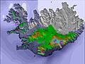
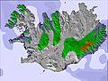
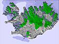
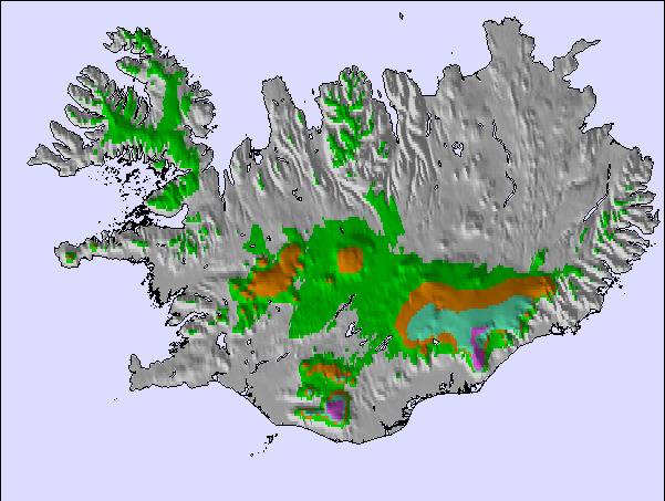
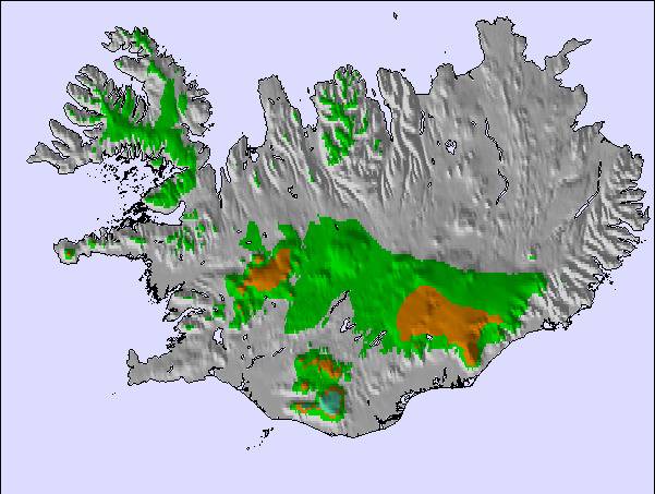
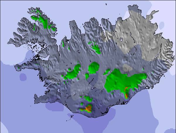
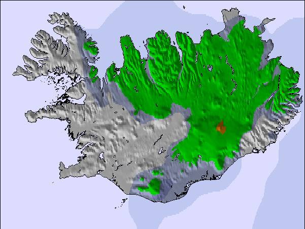
The above table gives the weather forecast for Hlíðarfjall Akureyri at the specific elevation of 980 m. Our sophisticated weather models allow us to provide snow forecasts for the top, middle and bottom ski stations of Hlíðarfjall Akureyri. To access the weather forecasts for the other elevations, use the tab navigation above the table. For a wider view of the weather, check out the Weather Map of Iceland.
Click here to read further information on freezing levels and how we forecast our temperatures.
Resort name is also written as Hlidarfjall Akureyri.
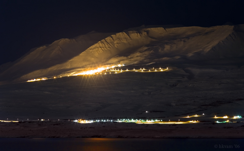
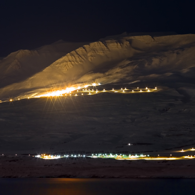
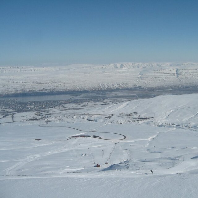
Situated between 500 and 1,000m above sea level, seven kilometres from the Icelandic city of Akureyri, Hlidarfjall is one of the country’s top ski resorts, boasting excellent pistes for beginner to upper intermediate level skiers, cross-country trails and off-piste skiing. Night-time skiing on illuminated pistes is also on offer.
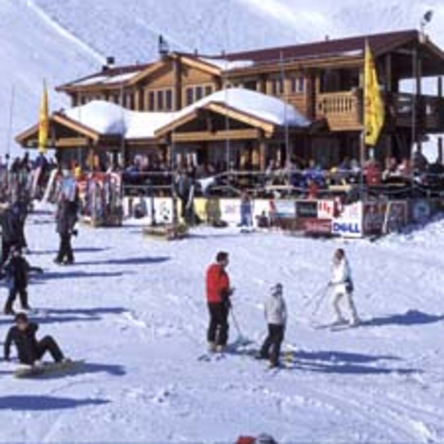
The resort base, located at 500m, has only the most necessary facilities of a single ski lodge (the Stryta lodge), toilets, shops and a cafeteria. However, the city of Akureyri offers a multitude of visitor services, shops, accommodation options and recreational opportunities.
Hlidarfjall is a small, personal resort, with only 12kms of groomed pistes, the longest being 2.5kms. The resort caters mainly for lower level skiers, with only green and blue pistes on offer. There are four ski lifts in Hlidarfjall, able to transport 2,000 skiers per hour. Additionally, the resort encompasses five kilometres of illuminated cross-country tracks, and snowboarders have access to a terrain park with jumps, slides and tables.
Between Hlidarfjall and Akureyri, there are a multitude of alternative winter activities on offer. Visitors have access to a superb ice-skating rink and swimming pools heated by geothermal activity. Sports and leisure activities are also available, including a number of fitness centres.
Hlidarfjall’s ski season runs from mid-December to the end of April, with optimal snow from February to March, and cheaper rates offered at the beginning of the season, in selected weeks in January, and towards the season’s close. The easiest way of accessing the resort is to take a flight to Reykjavik, Iceland’s capital, then a domestic flight to Akureyri, and the Skibus to Hlidarfjall.
Situated between 500 and 1,000m above sea level, seven kilometres from the Icelandic city of Akureyri, Hlidarfjall is one of the country’s top ski resorts, boasting excellent pistes for beginner to upper intermediate level skiers, cross-country trails and off-piste skiing. Night-time skiing on illuminated pistes is also on offer.
The resort base, located at 500m, has only the most necessary facilities of a single ski lodge (the Stryta lodge), toilets, shops and a cafeteria. However, the city of Akureyri offers a multitude of visitor services, shops, accommodation options and recreational opportunities.
Hlidarfjall is a small, personal resort, with only 12kms of groomed pistes, the longest being 2.5kms. The resort caters mainly for lower level skiers, with only green and blue pistes on offer. There are four ski lifts in Hlidarfjall, able to transport 2,000 skiers per hour. Additionally, the resort encompasses five kilometres of illuminated cross-country tracks, and snowboarders have access to a terrain park with jumps, slides and tables.
Between Hlidarfjall and Akureyri, there are a multitude of alternative winter activities on offer. Visitors have access to a superb ice-skating rink and swimming pools heated by geothermal activity. Sports and leisure activities are also available, including a number of fitness centres.
Hlidarfjall’s ski season runs from mid-December to the end of April, with optimal snow from February to March, and cheaper rates offered at the beginning of the season, in selected weeks in January, and towards the season’s close. The easiest way of accessing the resort is to take a flight to Reykjavik, Iceland’s capital, then a domestic flight to Akureyri, and the Skibus to Hlidarfjall.
Free Snow-Forecast.com weather widget for your website
Embed the Hlíðarfjall Akureyri weather widget on your site for free. It provides a weekly snapshot of snow and rain conditions across all elevations. Follow the two quick steps to grab your custom code and paste it into your site. Choose between metric or imperial units. Click here to get the code.


 Nearest