
comScore pixel
snowy ski resort
Ski Japan - Fukushima

Hinoemata Snow Forecast

37.03° N 139.41° E

Weather Forecast for Hinoemata at 1050 m altitude

Next snow in Hinoemata:
5 cm on Sat 7th
Issued:
8 pm 06 Nov 2026 (local time)
Forecast update in:
 hr.  min.
Last 6 daysScroll left for last 6 daysNow
Saturday
7
Sunday
8
Monday
9
Tuesday
10
Wednesday
11
night
AM
PM
night
AM
PM
night
AM
PM
night
AM
PM
night
AM
PM
night
light snow
mod snow
light snow
snow showers
snow showers
part cloud
rain showers
light rain
light rain
light snow
light snow
snow showers
snow showers
clear
clear
clear
light snow
mod. snow
light snow
snow shwrs
snow shwrs
some clouds
rain shwrs
light rain
light rain
light snow
light snow
snow shwrs
snow shwrs
clear
clear
clear
km/h
10
WNW
20
WNW
30
WNW
20
WNW
10
WNW
5
NW
10
SSW
10
S
5
NW
15
NW
20
WNW
15
WNW
10
WNW
10
W
10
W
10
WSW
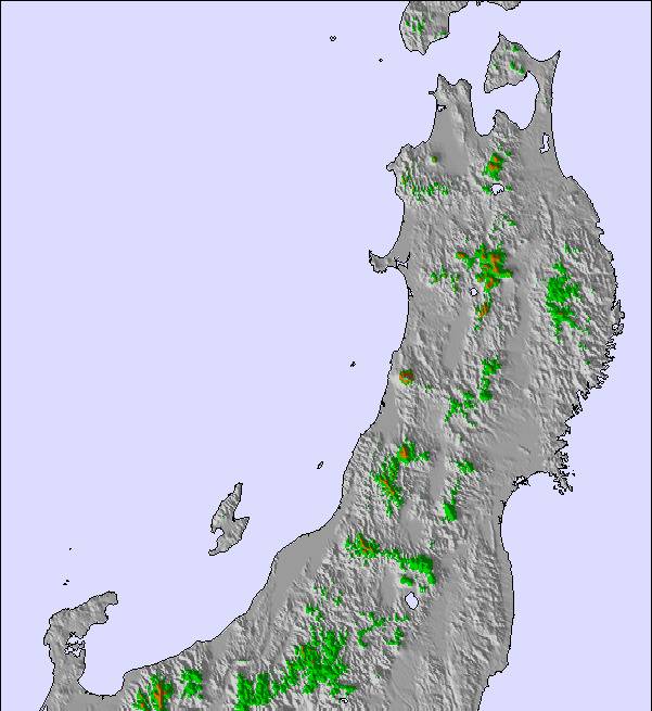
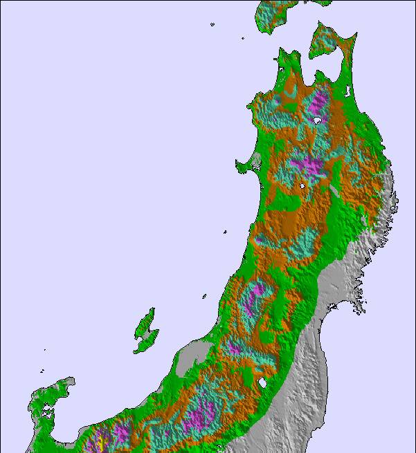
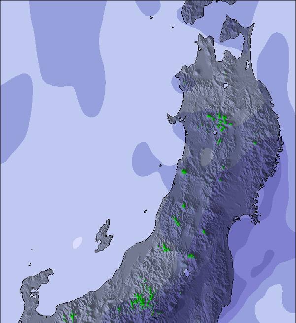
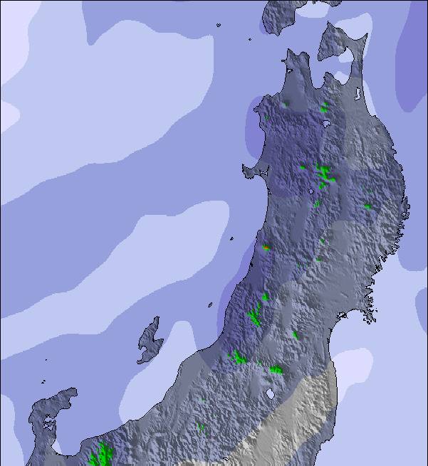
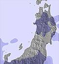
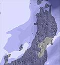
Snow map
Snow map
Snow map
Snow map
Snow map
Snow map
Snow map
Snowflake cm
2
5
4
3
—
—
—
—
—
2
1
1
—
—
—
—
 mm
6
—
—
—
—
—
1
4
1
1
—
—
—
—
—
—
max °C
6
2
1
1
3
2
6
7
6
4
0
0
-1
6
6
5
min °C
2
1
1
0
1
1
2
6
5
-1
0
-1
-2
4
5
5
 chill °C
-2
-4
-5
-5
-3
1
0
4
2
-6
-5
-4
-5
2
2
3
Humid %
98
96
95
91
89
92
77
94
100
98
90
86
86
52
71
81
Freeze m
1650
1300
1200
1050
1250
1400
1950
2400
2100
1300
1000
1050
600
1650
2050
2550
Sea lvl1000m2000m3000m4000m5000m
42112247620-1-2565532142365221-3663
Sunrise
—
6:11
—
—
6:11
—
—
6:13
—
—
6:13
—
—
6:15
—
—
Sunset
—
—
4:38
—
—
4:37
—
—
4:37
—
—
4:37
—
—
4:36
—

Next 4 days weather summary:

Moderate rain (total 12.0mm), heaviest on Fri night giving way to a moderate fall of snow, heaviest on Sat morning. Freeze-thaw conditions (max 7°C on Mon morning, min 0°C on Sat night). Winds decreasing (fresh winds from the WNW on Sat afternoon, calm by Sun afternoon).

Days 5-7 weather summary:

Drizzle at first, then turning colder with dusting of snow on Mon night. Freeze-thaw conditions (max 10°C on Thu morning, min -2°C on Tue night). Wind will be generally light.

  • Circle CheckHourly & 16-day forecasts
  • Circle CheckView past weather
  • Circle CheckFast, ad-free browsing
  • Circle CheckSnow hindcasts & History
Unlocks app & website

Avalanche information: Japan Avalanche Network


Snow Radar

Latest snow reports near Hinoemata:

No recent snow reports

No recent snow reports

Hinoemata Snow Conditions

Top snow depth:—
Bottom snow depth:—
Fresh snowfall depth:—
Last snowfall:28 Oct 2026
Snow AlertsCreate Alert
Other resorts in Japan - Fukushima are reporting: powder (0) / good piste (0)

Snow-Forecast Partner Offers

Snow History

Week 1 of November has on average:

0.0
Bluebird Powder days
Fresh snow, mostly sunny, light wind.
0.2
Powder days
Fresh snow, limited sun, any wind.
0.0
Bluebird days
Average snow, mostly sunny, light wind.

Map placeholder