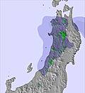
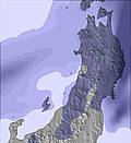
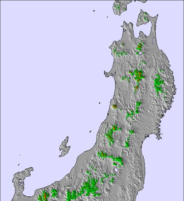
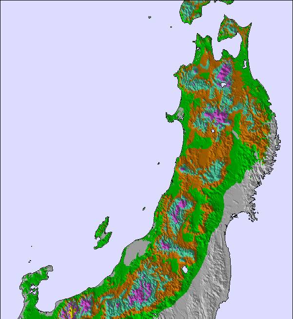
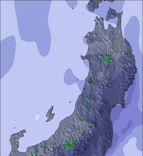
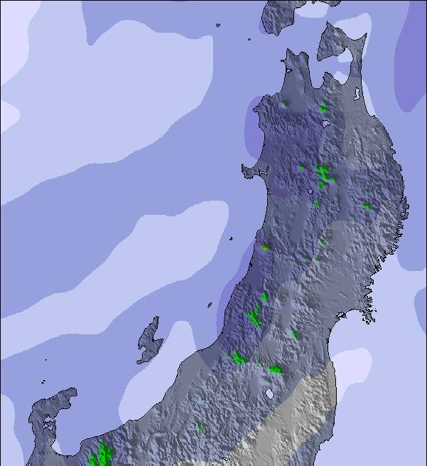
The above table gives the weather forecast for Hakuba Cortina Kokusai at the specific elevation of 731 m. Our sophisticated weather models allow us to provide snow forecasts for the top, middle and bottom ski stations of Hakuba Cortina Kokusai. To access the weather forecasts for the other elevations, use the tab navigation above the table. For a wider view of the weather, check out the Weather Map of Japan.
Click here to read further information on freezing levels and how we forecast our temperatures.
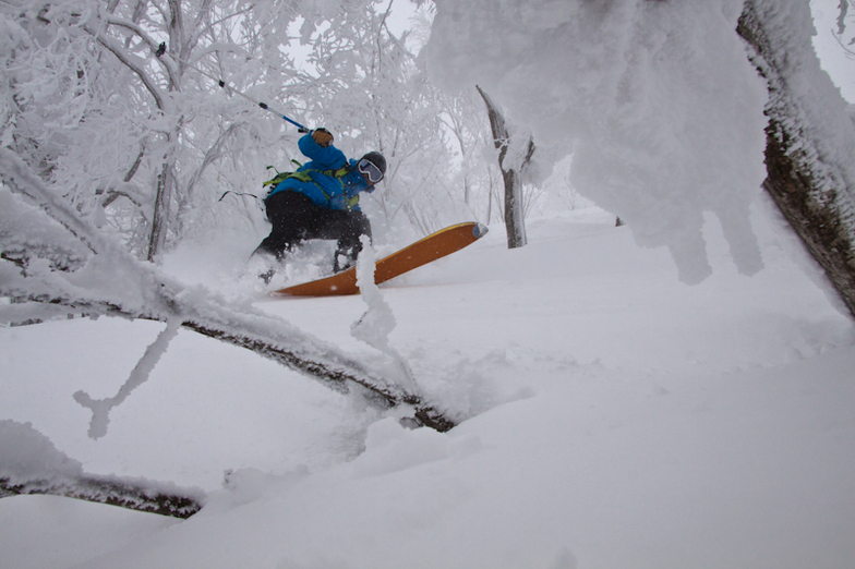
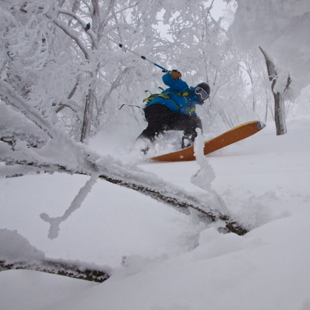
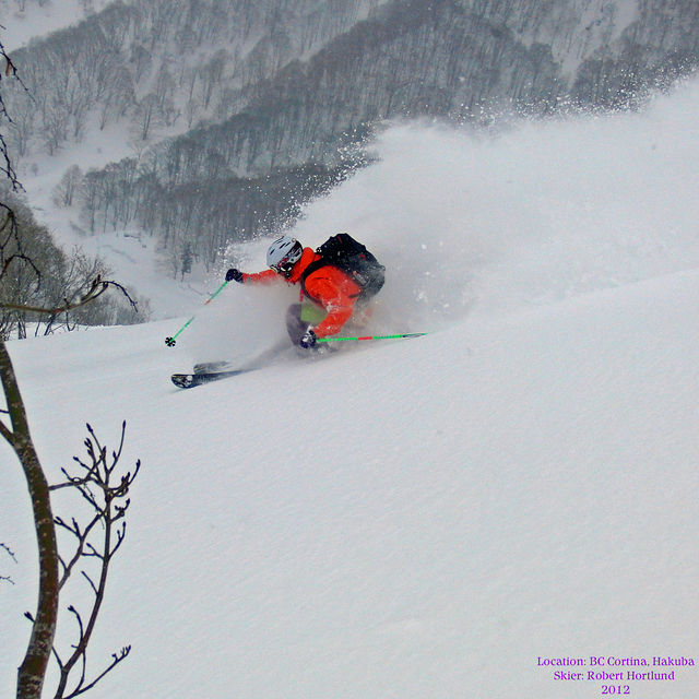
For the last 4 season I have work and live in the Hakuba-Mura area. The transport to this resort is great. Both the resort and Hakuba information Centre have shuttles that will get you there before the lift starts (8.30am). It leaves Hakuba information Centre at 8.00am, 9.00am and 10.00am. So to get first line you don't need a car, unless you want to leave early. The first returning bus leaves at 3.20pm, then 4.20pm and 5.20 pm. The staff are very accommodating but speak limited English. But this is a reality everywhere seeing that you are in a non English country!!! The snow is superb and views are superb. The whole experience is superb. Any time off I get I stay at the this resort. I base 400 meter from Goryu but prefer to by pass this, 47, Happo Iwatake and Tsugaiki to stay and board this venue, Cortina. Like all the resort in Hakuba-mura it is crowded during the winter holidays. The crowds decrease during February and are non-existent in March. March still receives good dumps of snow but not huge like in Dec, Jan, and Feb. I can recommend this resort highly. You don't need a car to take advantage of this resort just don't have an attitude like the people who are down on Cortina because they can not organise themselves. If you do go by shuttle take a change of clothes and take advantage of their amazing onsen which is free with your full day lift pass which also gives you a Y1000 off lunch.
For the last 4 season I have work and live in the Hakuba-Mura area. The transport to this resort is great. Both the resort and Hakuba information Centre have shuttles that will get you there before the lift starts (8.30am). It leaves Hakuba information Centre at 8.00am, 9.00am and 10.00am. So to get first line you don't need a car, unless you want to leave early. The first returning bus leaves at 3.20pm, then 4.20pm and 5.20 pm. The staff are very accommodating but speak limited English. But this is a reality everywhere seeing that you are in a non English country!!! The snow is superb and views are superb. The whole experience is superb. Any time off I get I stay at the this resort. I base 400 meter from Goryu but prefer to by pass this, 47, Happo Iwatake and Tsugaiki to stay and board this venue, Cortina. Like all the resort in Hakuba-mura it is crowded during the winter holidays. The crowds decrease during February and are non-existent in March. March still receives good dumps of snow but not huge like in Dec, Jan, and Feb. I can recommend this resort highly. You don't need a car to take advantage of this resort just don't have an attitude like the people who are down on Cortina because they can not organise themselves. If you do go by shuttle take a change of clothes and take advantage of their amazing onsen which is free with your full day lift pass which also gives you a Y1000 off lunch.
Free Snow-Forecast.com weather widget for your website
Embed the Hakuba Cortina Kokusai weather widget on your site for free. It provides a weekly snapshot of snow and rain conditions across all elevations. Follow the two quick steps to grab your custom code and paste it into your site. Choose between metric or imperial units. Click here to get the code.


 Nearest