The above table gives the weather forecast for Hakkoda at the specific elevation of 997 m. Our sophisticated weather models allow us to provide snow forecasts for the top, middle and bottom ski stations of Hakkoda. To access the weather forecasts for the other elevations, use the tab navigation above the table. For a wider view of the weather, check out the Weather Map of Japan.
Click here to read further information on freezing levels and how we forecast our temperatures.
Time for an update.
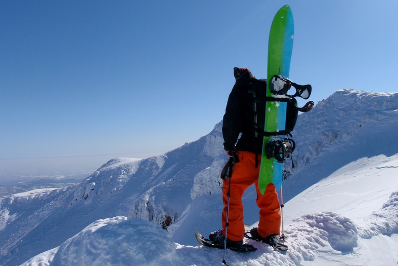
First of all, Hakkoda is not a resort. It is a set of mountains in a national park, one of which happens to have a ropeway/gondola.
There are no amenities, no shops, no bars, no restaurants, no nightlife, no parties. Just mountains, onsens and snow.
Except for the negligible tiny little old ski center at the foot of one of the mountains, there are no ski trails.
Most winter days, the conditions at the top of the ropeway are stormy, with high winds and extremely low visibility. When the winds reach over 25m/s (which happens often), the ropeway suspends operations and there are few if any alternatives for skiing/snowboarding that day. Bring a book or two.
There are no real / groomed ski trails from the top. There are lots of creeks, holes, treewells and windlips, which, in zero visibility represent significant challenges. Furthermore, if you are not intimately familiar with the geography of the area, the odds of getting lost, spending the night alone in the mountains and requiring (expensive) rescue are significantly high.
The skills, physical strength and knowledge required to ski/ride at Hakkoda are not what you typically get from simply resort skiing/riding, even if you go every weekend.
Again, this is not a resort. Do not come here if you are not properly prepared (and I don't mean simply buying the gear).
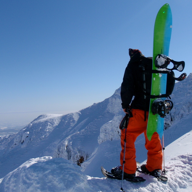
Time for an update.
First of all, Hakkoda is not a resort. It is a set of mountains in a national park, one of which happens to have a ropeway/gondola.
There are no amenities, no shops, no bars, no restaurants, no nightlife, no parties. Just mountains, onsens and snow.
Except for the negligible tiny little old ski center at the foot of one of the mountains, there are no ski trails.
Most winter days, the conditions at the top of the ropeway are stormy, with high winds and extremely low visibility. When the winds reach over 25m/s (which happens often), the ropeway suspends operations and there are few if any alternatives for skiing/snowboarding that day. Bring a book or two.
There are no real / groomed ski trails from the top. There are lots of creeks, holes, treewells and windlips, which, in zero visibility represent significant challenges. Furthermore, if you are not intimately familiar with the geography of the area, the odds of getting lost, spending the night alone in the mountains and requiring (expensive) rescue are significantly high.
The skills, physical strength and knowledge required to ski/ride at Hakkoda are not what you typically get from simply resort skiing/riding, even if you go every weekend.
Again, this is not a resort. Do not come here if you are not properly prepared (and I don't mean simply buying the gear).
Free Snow-Forecast.com weather widget for your website
Embed the Hakkoda weather widget on your site for free. It provides a weekly snapshot of snow and rain conditions across all elevations. Follow the two quick steps to grab your custom code and paste it into your site. Choose between metric or imperial units. Click here to get the code.


 Nearest