

Global Weekly Snow Roundup #319
Weekly Snow News for the world, updated 18 June 2026: Argentina and Lesotho's seasons begin, Tignes and Sunshine to reopen this weekend as Riksgransen ends its 2026 season.

Next 3 days weather summary:Heavy rain (total 60.0mm), heaviest during Thu night. Very mild (max 15°C on Tue afternoon, min 10°C on Thu night). Winds increasing (calm on Wed morning, fresh winds from the SE by Thu morning). | Days 4-6 weather summary:Light rain (total 8.0mm), mostly falling on Fri afternoon. Very mild (max 15°C on Sat morning, min 12°C on Fri afternoon). Wind will be generally light. | ||||||||||||||||
Tue 30 | Wednesday 1 | Thursday 2 | Friday 3 | Saturday 4 | Sunday 5 | ||||||||||||
PM | night | AM | PM | night | AM | PM | night | AM | PM | night | AM | PM | night | AM | PM | night | |
rain shwrs | clear | some clouds | t-storm risk | light rain | mod. rain | heavy rain | heavy rain | cloudy | rain shwrs | some clouds | clear | t-storm risk | rain shwrs | some clouds | t-storm risk | some clouds | |
km/h | |||||||||||||||||
Snow map |  |  |  |  |  |  | |||||||||||
— | — | — | — | — | — | — | — | — | — | — | — | — | — | — | — | — | |
mm | 2 | — | — | 2 | 5 | 9 | 17 | 25 | — | 3 | — | — | 2 | 1 | — | 2 | — |
max °C | 15 | 14 | 15 | 15 | 15 | 11 | 11 | 11 | 13 | 13 | 13 | 15 | 14 | 15 | 15 | 14 | 15 |
min °C | 14 | 14 | 14 | 15 | 12 | 11 | 11 | 10 | 11 | 12 | 12 | 12 | 14 | 14 | 14 | 14 | 14 |
chill °C | 14 | 14 | 14 | 15 | 10 | 7 | 8 | 7 | 10 | 11 | 12 | 12 | 14 | 14 | 14 | 13 | 13 |
Humid % | 67 | 59 | 67 | 73 | 68 | 96 | 98 | 97 | 88 | 85 | 70 | 74 | 82 | 78 | 66 | 89 | 73 |
Freeze m | 3900 | 4050 | 4000 | 4100 | 4150 | 4250 | 4250 | 4150 | 3950 | 4000 | 4150 | 4150 | 4100 | 4250 | 4250 | 4350 | 4550 |
— | — | 4:18 | — | — | 4:18 | — | — | 4:20 | — | — | 4:20 | — | — | 4:20 | — | — | |
7:07 | — | — | 7:07 | — | — | 7:07 | — | — | 7:07 | — | — | 7:07 | — | — | 7:07 | — | |
Go pro and carve into:
Avalanche information: Japan Avalanche Network
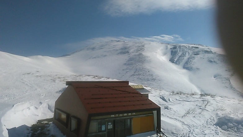
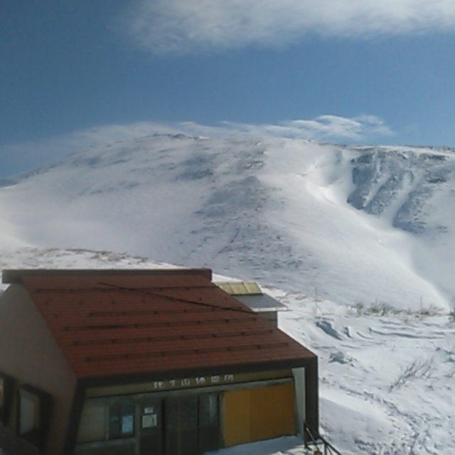
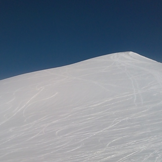
Latest snow reports near Gassan Glacier:
| Top snow depth: | 30 cm |
|---|---|
| Bottom snow depth: | — |
| Fresh snowfall depth: | — |
| Last snowfall: | 9 May 2026 |
| Snow Alerts | Create Alert |
0.0 | Bluebird Powder days Fresh snow, mostly sunny, light wind. |
|---|---|
0.0 | Powder days Fresh snow, limited sun, any wind. |
0.0 | Bluebird days Average snow, mostly sunny, light wind. |
The above table gives the weather forecast for Gassan Glacier at the specific elevation of 1742 m. Our sophisticated weather models allow us to provide snow forecasts for the top, middle and bottom ski stations of Gassan Glacier. To access the weather forecasts for the other elevations, use the tab navigation above the table. For a wider view of the weather, check out the Weather Map of Japan.
Click here to read further information on freezing levels and how we forecast our temperatures.


 Nearest