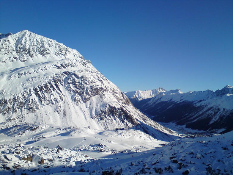


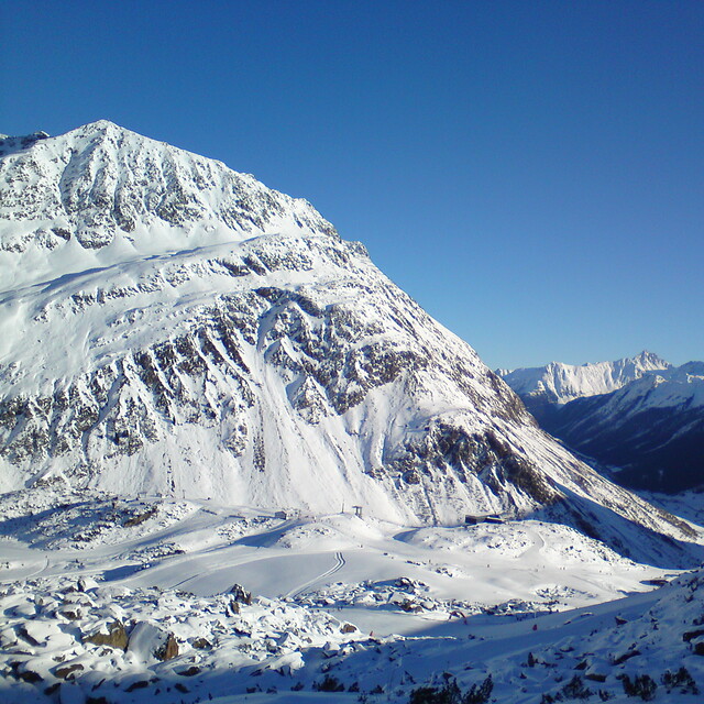
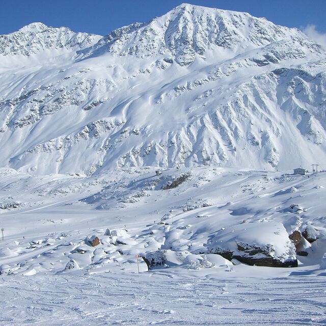
Portillo Storm Snowfall Total Passes 5m / 17 Feet
A snow storm that has now continued for nine days has taken Chilean ski resort Portillo to a snowfall total of 5.2 metres (17 feet) so far, with more snow forecast.

Next 3 days weather summary:Heavy rain (total 26.0mm), heaviest during Fri night. Warm (max 26°C on Fri afternoon, min 11°C on Fri night). Wind will be generally light. | Days 4-6 weather summary:Heavy rain (total 25.0mm), heaviest during Sat night. Warm (max 24°C on Sat afternoon, min 13°C on Sat night). Wind will be generally light. | |||||||||||||||||
Wednesday 29 | Thursday 30 | Friday 31 | Saturday 1 | Sunday 2 | Monday 3 | |||||||||||||
AM | PM | night | AM | PM | night | AM | PM | night | AM | PM | night | AM | PM | night | AM | PM | night | |
t-storm risk | t-storm risk | rain shwrs | clear | clear | clear | clear | some clouds | rain shwrs | t-storm risk | t-storm risk | rain shwrs | clear | t-storm risk | rain shwrs | light rain | light rain | rain shwrs | |
km/h | ||||||||||||||||||
Snow map |  |  |  |  |  |  | ||||||||||||
— | — | — | — | — | — | — | — | — | — | — | — | — | — | — | — | — | — | |
mm | 1 | 4 | 4 | — | — | — | — | — | 17 | 2 | 5 | 7 | — | 1 | 3 | 2 | 2 | 3 |
max °C | 22 | 22 | 19 | 23 | 25 | 22 | 24 | 26 | 14 | 21 | 24 | 16 | 22 | 23 | 18 | 22 | 23 | 17 |
min °C | 18 | 22 | 15 | 19 | 25 | 15 | 19 | 25 | 11 | 16 | 17 | 13 | 16 | 22 | 16 | 16 | 19 | 14 |
chill °C | 18 | 22 | 15 | 19 | 25 | 15 | 19 | 25 | 10 | 16 | 17 | 13 | 16 | 22 | 16 | 16 | 19 | 13 |
Humid % | 52 | 53 | 56 | 32 | 24 | 43 | 35 | 35 | 88 | 48 | 77 | 65 | 50 | 55 | 69 | 48 | 64 | 77 |
Freeze m | 4350 | 4500 | 4400 | 4500 | 4700 | 4700 | 4650 | 4750 | 4450 | 4400 | 4250 | 4450 | 4550 | 4650 | 4600 | 4550 | 4550 | 4450 |
5:54 | — | — | 5:54 | — | — | 5:56 | — | — | 5:56 | — | — | 5:58 | — | — | 6:00 | — | — | |
— | — | 8:55 | — | — | 8:54 | — | — | 8:52 | — | — | 8:52 | — | — | 8:51 | — | — | 8:49 | |
Go pro and carve into:
Avalanche information: European Avalanche Warning Services (EAWS)
Latest snow reports near Galtur-Silvapark:
| Top snow depth: | 0 cm |
|---|---|
| Bottom snow depth: | 0 cm |
| Fresh snowfall depth: | — |
| Last snowfall: | 10 Jun 2026 |
| Snow Alerts | Create Alert |
0.0 | Bluebird Powder days Fresh snow, mostly sunny, light wind. |
|---|---|
0.0 | Powder days Fresh snow, limited sun, any wind. |
0.0 | Bluebird days Average snow, mostly sunny, light wind. |

The above table gives the weather forecast for Galtur-Silvapark at the specific elevation of 1600 m. Our sophisticated weather models allow us to provide snow forecasts for the top, middle and bottom ski stations of Galtur-Silvapark. To access the weather forecasts for the other elevations, use the tab navigation above the table. For a wider view of the weather, check out the Weather Map of Austria.
Click here to read further information on freezing levels and how we forecast our temperatures.
Resort name is also written as Galtur Silvapark.
Overall 4.2 Based on 11 votes and 3 reviews
A small friendly resort with an excellent snow record, the village stands at 1584m with much of the skiing above the tree line. Whilst the ski area is relatively small it does not suffer from the crowds of some of the more, well known resorts. A short free bus ride away is the larger resort of Ischgl, which provides over 200km of well-groomed pistes. The village is effectively split into two; the centre is a mainly hotels, while a mix of apartments and hotels can be found at the foot of the lift system. Nightlife is generally quite, there are a couple of Bars which can be lively. Overall a friendly resort-offering crowd free skiing.
stuart from United Kingdom writes:
A small friendly resort with an excellent snow record, the village stands at 1584m with much of the skiing above the tree line. Whilst the ski area is relatively small it does not suffer from the crowds of some of the more, well known resorts. A short free bus ride away is the larger resort of Ischgl, which provides over 200km of well-groomed pistes. The village is effectively split into two; the centre is a mainly hotels, while a mix of apartments and hotels can be found at the foot of the lift system. Nightlife is generally quite, there are a couple of Bars which can be lively. Overall a friendly resort-offering crowd free skiing.


 Nearest