

Portillo Storm Snowfall Total Passes 5m / 17 Feet
A snow storm that has now continued for nine days has taken Chilean ski resort Portillo to a snowfall total of 5.2 metres (17 feet) so far, with more snow forecast.

Next 3 days weather summary:Light rain (total 5.0mm), mostly falling on Fri night. Warm (max 21°C on Fri afternoon, min 15°C on Fri night). Wind will be generally light. | Days 4-6 weather summary:Some drizzle, heaviest during Sat night. Warm (max 20°C on Sun afternoon, min 13°C on Mon night). Wind will be generally light. | |||||||||||||||||
Wednesday 29 | Thursday 30 | Friday 31 | Saturday 1 | Sunday 2 | Monday 3 | |||||||||||||
AM | PM | night | AM | PM | night | AM | PM | night | AM | PM | night | AM | PM | night | AM | PM | night | |
clear | some clouds | clear | clear | clear | rain shwrs | some clouds | some clouds | t-storm risk | clear | some clouds | rain shwrs | clear | clear | clear | some clouds | clear | clear | |
km/h | ||||||||||||||||||
Snow map |  |  |  |  |  |  | ||||||||||||
— | — | — | — | — | — | — | — | — | — | — | — | — | — | — | — | — | — | |
mm | — | — | — | — | — | 1 | — | — | 4 | — | — | 1 | — | — | — | — | — | — |
max °C | 18 | 19 | 17 | 19 | 20 | 18 | 19 | 21 | 16 | 18 | 19 | 17 | 19 | 20 | 19 | 16 | 18 | 16 |
min °C | 16 | 19 | 16 | 17 | 20 | 16 | 17 | 20 | 15 | 15 | 18 | 15 | 16 | 20 | 15 | 15 | 18 | 13 |
chill °C | 16 | 19 | 16 | 17 | 20 | 15 | 16 | 20 | 15 | 13 | 18 | 14 | 15 | 20 | 14 | 13 | 18 | 12 |
Humid % | 32 | 48 | 48 | 36 | 41 | 50 | 35 | 42 | 56 | 38 | 43 | 50 | 36 | 31 | 53 | 41 | 38 | 55 |
Freeze m | 4850 | 5000 | 4850 | 4850 | 5000 | 4900 | 4800 | 4900 | 4850 | 4800 | 4950 | 4900 | 4850 | 5000 | 4750 | 4700 | 4900 | 4750 |
6:39 | — | — | 6:39 | — | — | 6:41 | — | — | 6:41 | — | — | 6:43 | — | — | 6:43 | — | — | |
— | — | 9:15 | — | — | 9:14 | — | — | 9:13 | — | — | 9:12 | — | — | 9:10 | — | — | 9:09 | |
Go pro and carve into:
Avalanche information: European Avalanche Warning Services (EAWS)
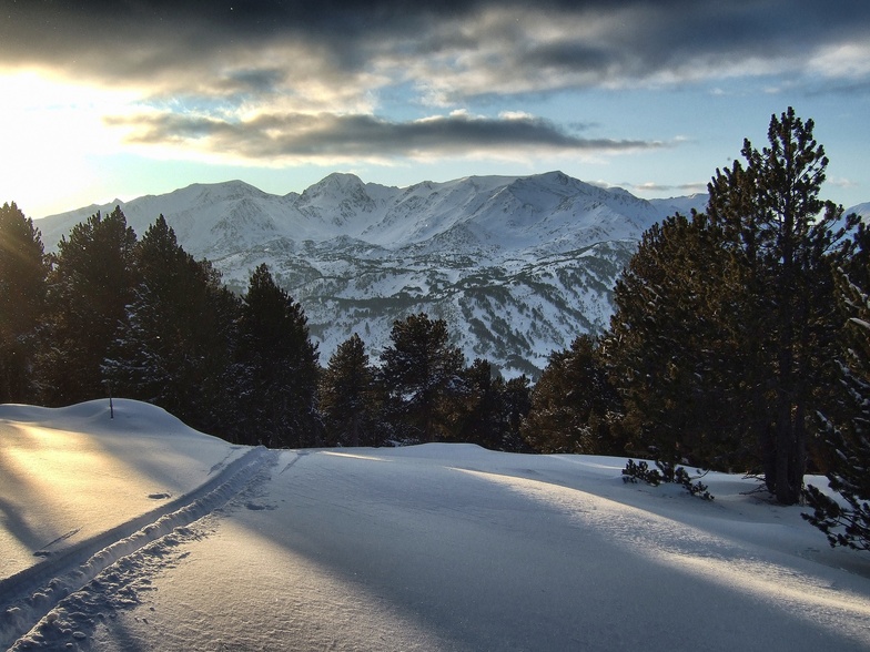
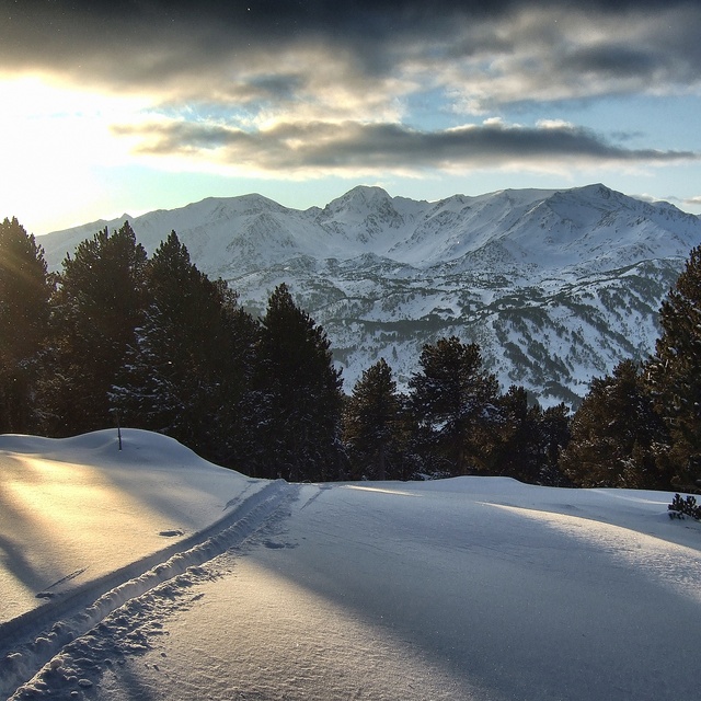
Latest snow reports near Formigueres:
| Top snow depth: | — |
|---|---|
| Bottom snow depth: | — |
| Fresh snowfall depth: | — |
| Last snowfall: | 17 May 2026 |
| Snow Alerts | Create Alert |
0.0 | Bluebird Powder days Fresh snow, mostly sunny, light wind. |
|---|---|
0.0 | Powder days Fresh snow, limited sun, any wind. |
0.0 | Bluebird days Average snow, mostly sunny, light wind. |
The above table gives the weather forecast for Formigueres at the specific elevation of 2400 m. Our sophisticated weather models allow us to provide snow forecasts for the top, middle and bottom ski stations of Formigueres. To access the weather forecasts for the other elevations, use the tab navigation above the table. For a wider view of the weather, check out the Weather Map of France.
Click here to read further information on freezing levels and how we forecast our temperatures.
Overall 3.6 Based on 3 votes and 5 reviews
Formigueres is a great small resort for families with kids. No crowds, carpark very close to the runs, lovely sundeck and bar. Not many pistes and most of them for beginners and medium skilled skiers. We love the place as there are not many kamikaze and dangerous snowboarders and the resort is quiet and relaxing, ideal to have fun with the children. Formigueres ha a beautiful landscape all around, and lots of woods to ski within the trees.
Marc from Spain writes:
Formigueres is a great small resort for families with kids.
No crowds, carpark very close to the runs, lovely sundeck and bar.
Not many pistes and most of them for beginners and medium skilled skiers.
We love the place as there are not many kamikaze and dangerous snowboarders and the resort is quiet and relaxing, ideal to have fun with the children.
Formigueres ha a beautiful landscape all around, and lots of woods to ski within the trees.


 Nearest