

Portillo Re-Opens To Guests Arriving By Helicopter
Chile’s famous Portillo ski resort is reported to have re-opened to guests arriving by helicopter after being cut off by road for more than two weeks by over 6m/20 feet of snowfall.

Next 3 days weather summary:Heavy rain (total 33.0mm), heaviest during Mon night. Warm (max 21°C on Mon afternoon, min 11°C on Mon night). Wind will be generally light. | Days 4-6 weather summary:Heavy rain (total 31.0mm), heaviest during Thu morning. Warm (max 21°C on Sat afternoon, min 12°C on Thu night). Wind will be generally light. | |||||||||||||||||
Monday 3 | Tuesday 4 | Wednesday 5 | Thursday 6 | Friday 7 | Saturday 8 | |||||||||||||
AM | PM | night | AM | PM | night | AM | PM | night | AM | PM | night | AM | PM | night | AM | PM | night | |
some clouds | cloudy | rain shwrs | clear | rain shwrs | rain shwrs | clear | t-storm risk | t-storm risk | t-storm risk | mod. rain | rain shwrs | t-storm risk | t-storm risk | rain shwrs | clear | some clouds | t-storm risk | |
km/h | ||||||||||||||||||
Snow map |  |  |  |  |  |  | ||||||||||||
— | — | — | — | — | — | — | — | — | — | — | — | — | — | — | — | — | — | |
mm | — | — | 24 | — | 1 | 2 | — | 1 | 5 | 5 | 7 | 8 | 1 | 3 | 2 | — | — | 5 |
max °C | 19 | 21 | 17 | 17 | 19 | 16 | 18 | 20 | 16 | 15 | 17 | 13 | 16 | 17 | 15 | 18 | 21 | 18 |
min °C | 16 | 20 | 11 | 14 | 18 | 14 | 14 | 19 | 13 | 13 | 15 | 12 | 13 | 17 | 14 | 15 | 20 | 15 |
chill °C | 16 | 20 | 11 | 14 | 18 | 14 | 14 | 19 | 13 | 13 | 15 | 12 | 12 | 17 | 14 | 15 | 20 | 15 |
Humid % | 49 | 53 | 67 | 48 | 55 | 75 | 57 | 58 | 80 | 73 | 81 | 82 | 71 | 72 | 71 | 51 | 46 | 64 |
Freeze m | 4550 | 4600 | 4250 | 4250 | 4500 | 4500 | 4450 | 4600 | 4550 | 4300 | 4450 | 4500 | 4400 | 4450 | 4550 | 4550 | 4750 | 4650 |
6:47 | — | — | 6:48 | — | — | 6:48 | — | — | 6:50 | — | — | 6:50 | — | — | 6:52 | — | — | |
— | — | 9:12 | — | — | 9:09 | — | — | 9:08 | — | — | 9:07 | — | — | 9:07 | — | — | 9:05 | |
Go pro and carve into:
Avalanche information: European Avalanche Warning Services (EAWS)
Latest snow reports near Grandvalira-Encamp:
| Top snow depth: | — |
|---|---|
| Bottom snow depth: | — |
| Fresh snowfall depth: | — |
| Last snowfall: | 15 May 2026 |
| Snow Alerts | Create Alert |
0.0 | Bluebird Powder days Fresh snow, mostly sunny, light wind. |
|---|---|
0.0 | Powder days Fresh snow, limited sun, any wind. |
0.0 | Bluebird days Average snow, mostly sunny, light wind. |
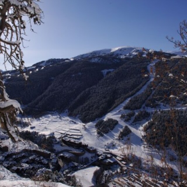
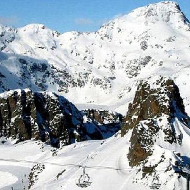
The above table gives the weather forecast for Grandvalira-Encamp at the specific elevation of 2060 m. Our sophisticated weather models allow us to provide snow forecasts for the top, middle and bottom ski stations of Grandvalira-Encamp. To access the weather forecasts for the other elevations, use the tab navigation above the table. For a wider view of the weather, check out the Weather Map of Andorra.
Click here to read further information on freezing levels and how we forecast our temperatures.


 Nearest