The above table gives the weather forecast for Ellmau (SkiWelt) at the specific elevation of 1288 m. Our sophisticated weather models allow us to provide snow forecasts for the top, middle and bottom ski stations of Ellmau (SkiWelt). To access the weather forecasts for the other elevations, use the tab navigation above the table. For a wider view of the weather, check out the Weather Map of Austria.
Click here to read further information on freezing levels and how we forecast our temperatures.
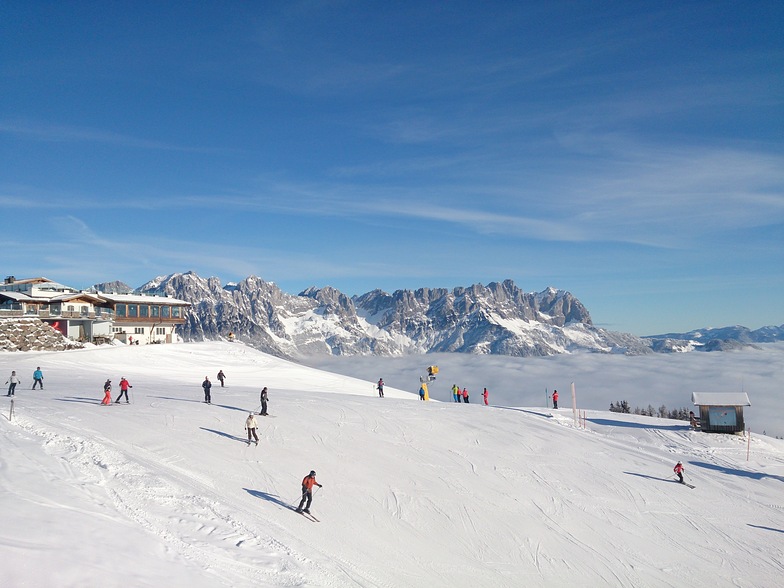
Just had a week in Ellmau, fantastic snow, great conditions at all levels due to the previous heavy snowfalls, was very cold in the mornings especially on lifts. Great for intermediates with plenty of choice. I have skied here quite a few times and never get bored. A lot of linked resorts i.e. Soll, Going, Itter, Westendorf just to mention some. The funicular railway in Ellmau is a very quick link to all of other resorts (depending on ability). Accommodation is varied to suit all pockets. We did stay in a cheap catered chalet exclusive to Crystal (very poor). This year we went half-board with Crystal, could not complain.
Overall, a great village for skiing, limited for non skiers, but always a great atmosphere.
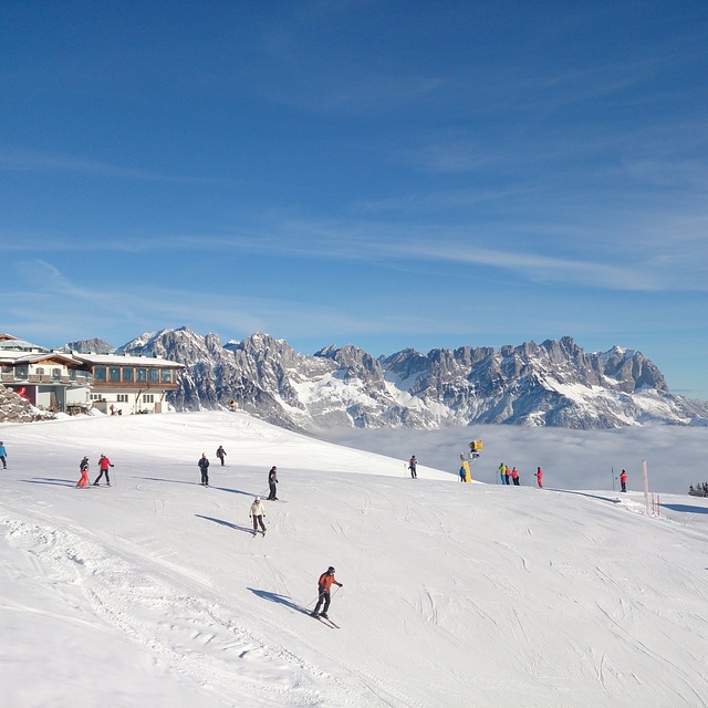
Free Snow-Forecast.com weather widget for your website
Embed the Ellmau (SkiWelt) weather widget on your site for free. It provides a weekly snapshot of snow and rain conditions across all elevations. Follow the two quick steps to grab your custom code and paste it into your site. Choose between metric or imperial units. Click here to get the code.


 Nearest