

Banff Sunshine Village Opening for Summer Skiing
Banff Sunshine Village has confirmed it will reopen for a fortnight of summer skiing, from this weekend. The only ski area in Canada to be open into July.

Next 3 days weather summary:Moderate rain (total 13.0mm), heaviest on Sun night. Warm (max 27°C on Sun morning, min 15°C on Sun night). Wind will be generally light. | Days 4-6 weather summary:Light rain (total 8.0mm), mostly falling on Fri night. Warm (max 29°C on Fri afternoon, min 16°C on Wed night). Wind will be generally light. | |||||||||||||||||
Sunday 21 | Monday 22 | Tuesday 23 | Wednesday 24 | Thursday 25 | Friday 26 | |||||||||||||
AM | PM | night | AM | PM | night | AM | PM | night | AM | PM | night | AM | PM | night | AM | PM | night | |
clear | some clouds | rain shwrs | some clouds | clear | rain shwrs | clear | some clouds | rain shwrs | clear | clear | clear | clear | clear | clear | some clouds | some clouds | rain shwrs | |
km/h | ||||||||||||||||||
Snow map |  |  |  |  |  |  | ||||||||||||
— | — | — | — | — | — | — | — | — | — | — | — | — | — | — | — | — | — | |
mm | — | — | 5 | — | — | 3 | — | — | 5 | — | — | — | — | — | — | — | — | 8 |
max °C | 27 | 27 | 23 | 26 | 27 | 22 | 25 | 27 | 21 | 25 | 27 | 22 | 26 | 28 | 23 | 27 | 29 | 23 |
min °C | 21 | 27 | 15 | 20 | 27 | 15 | 20 | 26 | 15 | 19 | 26 | 16 | 21 | 28 | 18 | 22 | 27 | 17 |
chill °C | 21 | 27 | 15 | 20 | 27 | 15 | 20 | 26 | 15 | 19 | 26 | 16 | 21 | 28 | 18 | 22 | 27 | 17 |
Humid % | 34 | 34 | 77 | 43 | 42 | 75 | 48 | 48 | 81 | 53 | 44 | 77 | 51 | 44 | 70 | 48 | 51 | 70 |
Freeze m | 4100 | 4300 | 4150 | 4200 | 4300 | 4300 | 4200 | 4250 | 4350 | 4250 | 4300 | 4500 | 4550 | 4650 | 4650 | 4600 | 4600 | 4650 |
5:18 | — | — | 5:18 | — | — | 5:18 | — | — | 5:18 | — | — | 5:20 | — | — | 5:20 | — | — | |
— | — | 9:15 | — | — | 9:15 | — | — | 9:16 | — | — | 9:16 | — | — | 9:16 | — | — | 9:16 | |
Go pro and carve into:
Avalanche information: European Avalanche Warning Services (EAWS)
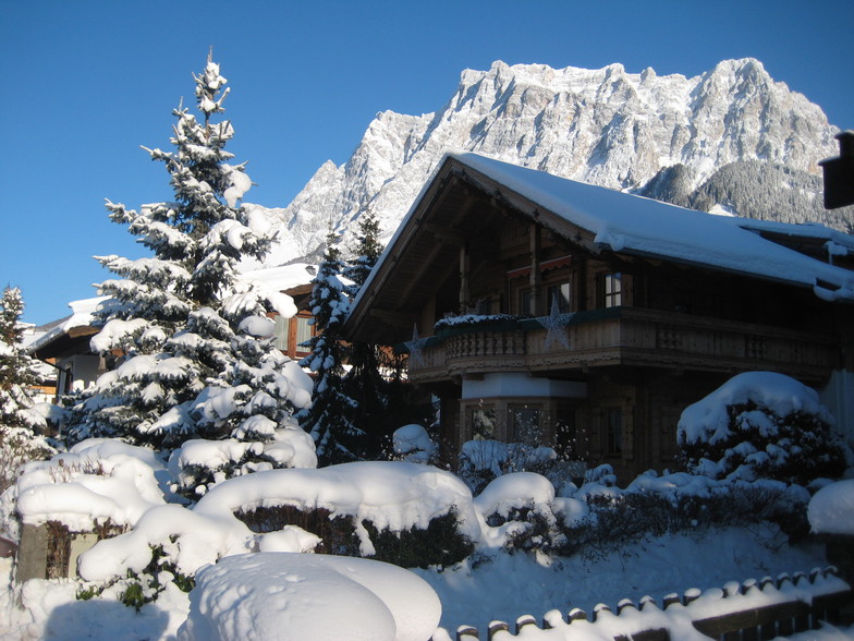
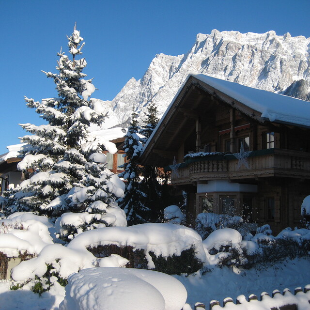
Latest snow reports near Ehrwald:
| Top snow depth: | 0 cm |
|---|---|
| Bottom snow depth: | 0 cm |
| Fresh snowfall depth: | — |
| Last snowfall: | 10 Jun 2026 |
| Snow Alerts | Create Alert |
0.0 | Bluebird Powder days Fresh snow, mostly sunny, light wind. |
|---|---|
0.0 | Powder days Fresh snow, limited sun, any wind. |
0.0 | Bluebird days Average snow, mostly sunny, light wind. |
The above table gives the weather forecast for Ehrwald at the specific elevation of 1000 m. Our sophisticated weather models allow us to provide snow forecasts for the top, middle and bottom ski stations of Ehrwald. To access the weather forecasts for the other elevations, use the tab navigation above the table. For a wider view of the weather, check out the Weather Map of Austria.
Click here to read further information on freezing levels and how we forecast our temperatures.
Overall 3.6 Based on 11 votes and 4 reviews
Just had an amazing week at Ehrwald - weather superb, skiing good, fabulous hotel (Alpen Residence), not too crowded considering it was Easter holidays. Easy journey from Stanstead to Munich and then train from Munich airport. (Ask about family tickets - £120 for 7 of us return). Loved it at Ehrwald and will return.
Jane from United Kingdom writes:
Just had an amazing week at Ehrwald - weather superb, skiing good, fabulous hotel (Alpen Residence), not too crowded considering it was Easter holidays. Easy journey from Stanstead to Munich and then train from Munich airport. (Ask about family tickets - £120 for 7 of us return).
Loved it at Ehrwald and will return.


 Nearest