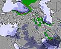
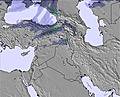
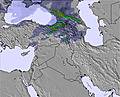
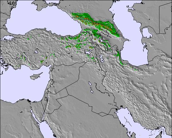
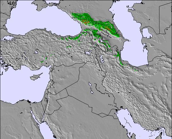
The above table gives the weather forecast for Dizin at the specific elevation of 3599 m. Our sophisticated weather models allow us to provide snow forecasts for the top, middle and bottom ski stations of Dizin. To access the weather forecasts for the other elevations, use the tab navigation above the table. For a wider view of the weather, check out the Weather Map of Iran (Islamic Republic of).
Click here to read further information on freezing levels and how we forecast our temperatures.
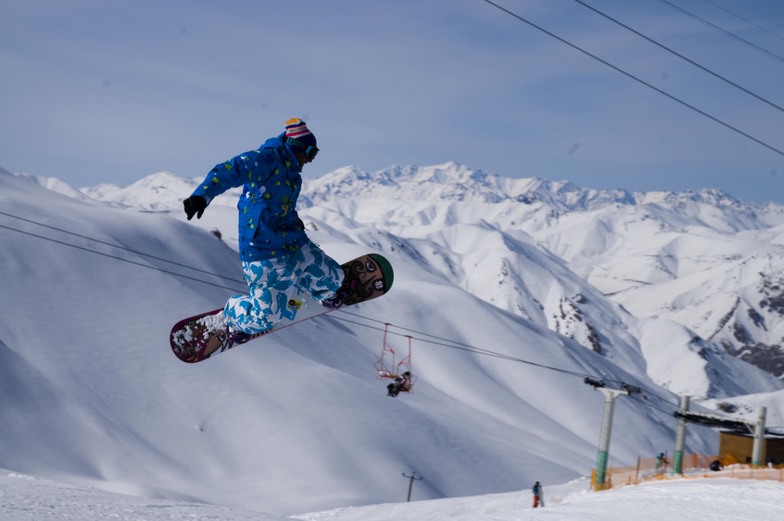
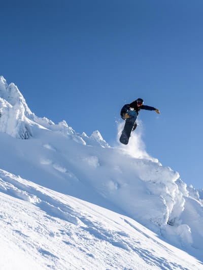
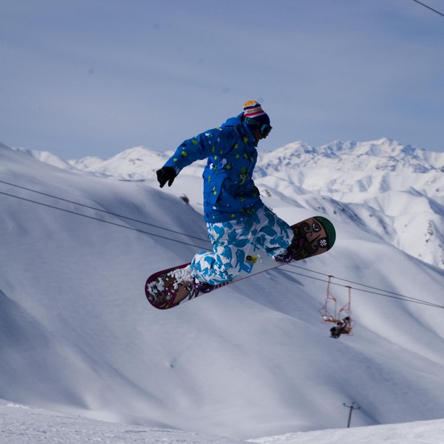
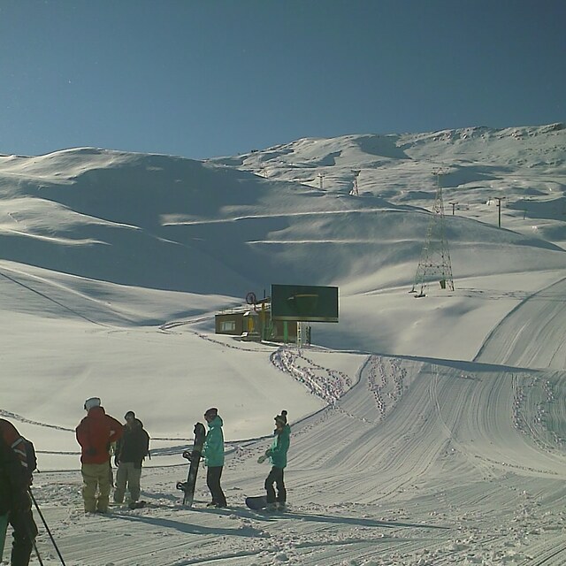
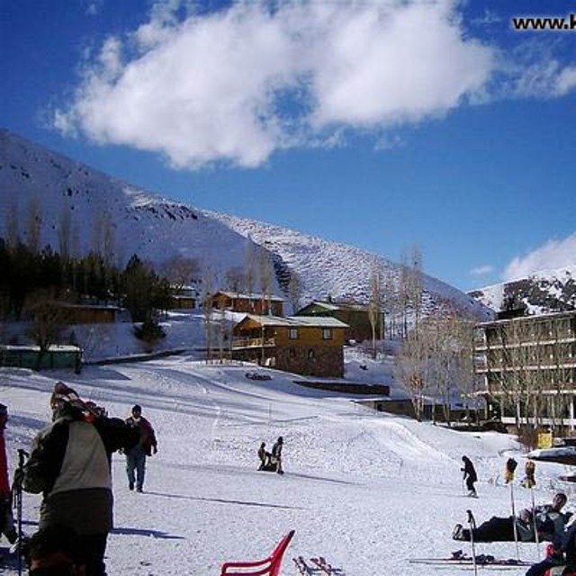
Update from last year. The running of the resort has been taken over by a company called Raika. This means better service and communications. The direct road from Tehran via Shemshak is now almost always plowed and open (Why they do not do the same with the upper parking is beyond me). Taxi this way is around $15. You end up at the upper parking, where there is a rental shop also. To get to the hotel, you have to ski down, or take the gondola. More lifts are open now than last year. There is more thinking now; after a snowfall last week, they only pisted the lower part and the competition slope, leaving the whole top free for off-piste. The nice restaurant on top of the Chaman lift is now open for lunch. The resort opens and closes at the correct times (normally 0830-1530). As it is easier to reach the resort now from Tehran, it has become busier. The skiing in Dizin is very good, with a lot of fairly safe off-piste, and normally lots of snow and a long season. The hotels have a good standard. Off course, still no after-ski.
Update from last year. The running of the resort has been taken over by a company called Raika. This means better service and communications. The direct road from Tehran via Shemshak is now almost always plowed and open (Why they do not do the same with the upper parking is beyond me). Taxi this way is around $15. You end up at the upper parking, where there is a rental shop also. To get to the hotel, you have to ski down, or take the gondola. More lifts are open now than last year. There is more thinking now; after a snowfall last week, they only pisted the lower part and the competition slope, leaving the whole top free for off-piste. The nice restaurant on top of the Chaman lift is now open for lunch. The resort opens and closes at the correct times (normally 0830-1530). As it is easier to reach the resort now from Tehran, it has become busier. The skiing in Dizin is very good, with a lot of fairly safe off-piste, and normally lots of snow and a long season. The hotels have a good standard. Off course, still no after-ski.
Free Snow-Forecast.com weather widget for your website
Embed the Dizin weather widget on your site for free. It provides a weekly snapshot of snow and rain conditions across all elevations. Follow the two quick steps to grab your custom code and paste it into your site. Choose between metric or imperial units. Click here to get the code.


 Nearest