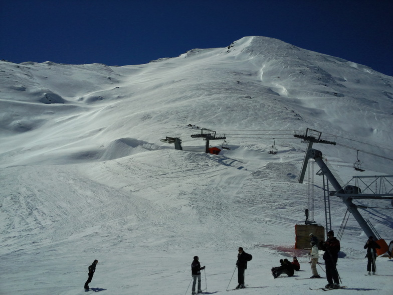


Portillo Re-Opens To Guests Arriving By Helicopter
Chile’s famous Portillo ski resort is reported to have re-opened to guests arriving by helicopter after being cut off by road for more than two weeks by over 6m/20 feet of snowfall.

Next 3 days weather summary:Light rain (total 4.0mm), mostly falling on Mon afternoon. Very mild (max 16°C on Thu morning, min 9°C on Mon night). Wind will be generally light. | Days 4-6 weather summary:Light rain (total 7.0mm), mostly falling on Thu afternoon. Very mild (max 15°C on Thu afternoon, min 10°C on Fri night). Wind will be generally light. | ||||||||||||||||
Mon 3 | Tuesday 4 | Wednesday 5 | Thursday 6 | Friday 7 | Saturday 8 | ||||||||||||
PM | night | AM | PM | night | AM | PM | night | AM | PM | night | AM | PM | night | AM | PM | night | |
rain shwrs | rain shwrs | some clouds | rain shwrs | clear | clear | some clouds | clear | some clouds | rain shwrs | some clouds | rain shwrs | rain shwrs | rain shwrs | some clouds | rain shwrs | some clouds | |
km/h | |||||||||||||||||
Snow map | 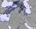 | 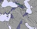 | 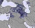 | 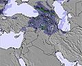 | 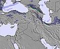 | 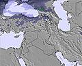 | |||||||||||
— | — | — | — | — | — | — | — | — | — | — | — | — | — | — | — | — | |
mm | 1 | 1 | — | 2 | — | — | — | — | — | 1 | — | 1 | 2 | 1 | — | 2 | — |
max °C | 12 | 11 | 13 | 13 | 13 | 15 | 15 | 14 | 16 | 15 | 14 | 13 | 14 | 12 | 13 | 13 | 12 |
min °C | 12 | 9 | 11 | 13 | 10 | 13 | 15 | 12 | 14 | 15 | 11 | 12 | 13 | 10 | 12 | 12 | 11 |
chill °C | 12 | 9 | 11 | 13 | 10 | 13 | 15 | 12 | 14 | 15 | 11 | 12 | 13 | 9 | 12 | 12 | 11 |
Humid % | 46 | 48 | 46 | 46 | 44 | 32 | 29 | 32 | 31 | 34 | 30 | 28 | 33 | 32 | 42 | 47 | 43 |
Freeze m | 5450 | 5250 | 5300 | 5550 | 5450 | 5500 | 5750 | 5650 | 5700 | 5700 | 5600 | 5450 | 5500 | 5250 | 5250 | 5500 | 5450 |
— | — | 5:13 | — | — | 5:13 | — | — | 5:13 | — | — | 5:15 | — | — | 5:16 | — | — | |
7:07 | — | — | 7:06 | — | — | 7:05 | — | — | 7:04 | — | — | 7:02 | — | — | 7:01 | — | |
Go pro and carve into:
Latest snow reports near Darbandsar:
| Top snow depth: | — |
|---|---|
| Bottom snow depth: | — |
| Fresh snowfall depth: | — |
| Last snowfall: | 20 May 2026 |
| Snow Alerts | Create Alert |
0.0 | Bluebird Powder days Fresh snow, mostly sunny, light wind. |
|---|---|
0.0 | Powder days Fresh snow, limited sun, any wind. |
0.0 | Bluebird days Average snow, mostly sunny, light wind. |
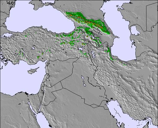
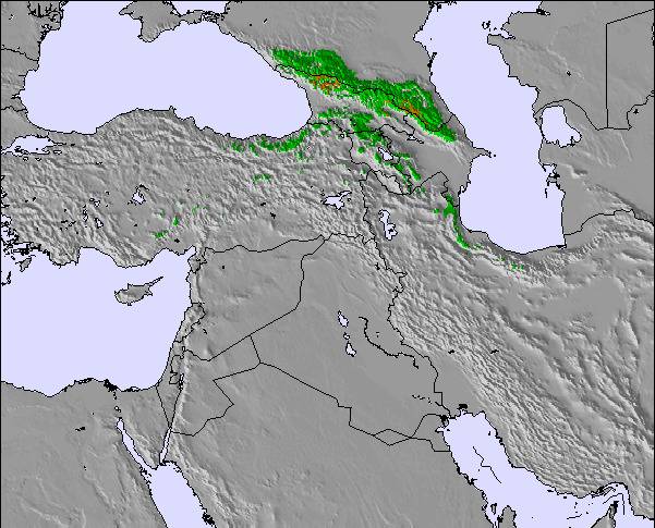
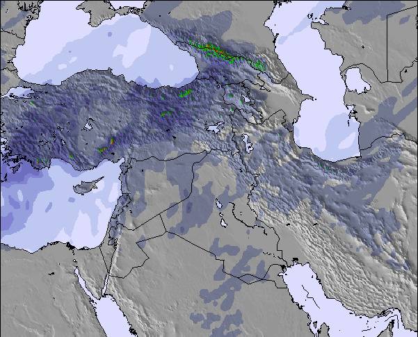
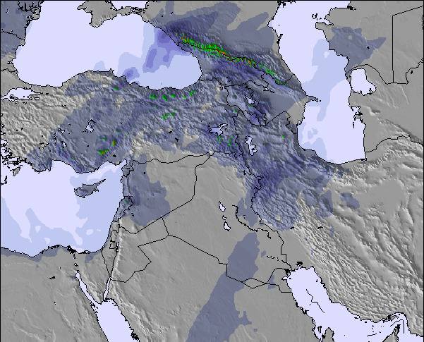
The above table gives the weather forecast for Darbandsar at the specific elevation of 3558 m. Our sophisticated weather models allow us to provide snow forecasts for the top, middle and bottom ski stations of Darbandsar. To access the weather forecasts for the other elevations, use the tab navigation above the table. For a wider view of the weather, check out the Weather Map of Iran (Islamic Republic of).
Click here to read further information on freezing levels and how we forecast our temperatures.
Overall 3.7 Based on 48 votes and 25 reviews
The resort was ok. A bit expensive but manageable. The main problem is the nasty attitude of the security guys at the entrance. They treat you very badly like we owe them. The owners and investors should consider letting a private company take over management. Also, lower the price of the tickets a bit. In the meantime, I will be going to Dizin!
Rayan S. from Iran writes:
The resort was ok. A bit expensive but manageable. The
main problem is the nasty attitude of the security guys at the
entrance. They treat you very badly like we owe them.
The owners and investors should consider letting a private company
take over management. Also, lower the price of the tickets a bit. In
the meantime, I will be going to Dizin!

 Nearest