The above table gives the weather forecast for Corvara (Alta Badia) at the specific elevation of 1520 m. Our sophisticated weather models allow us to provide snow forecasts for the top, middle and bottom ski stations of Corvara (Alta Badia). To access the weather forecasts for the other elevations, use the tab navigation above the table. For a wider view of the weather, check out the Weather Map of Italy.
Click here to read further information on freezing levels and how we forecast our temperatures.
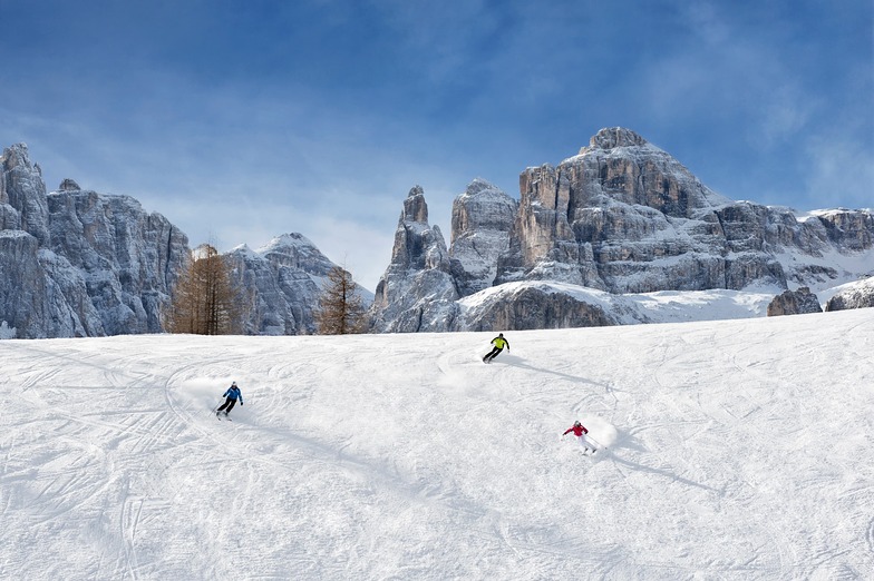
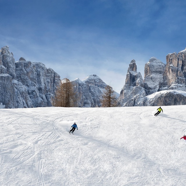
Just back from a week skiing (March 2016). I pity a bit those who skied the previous week and those this week. The previous week they had at least one white out day, which laid an excellent base. It was topped up on Tuesday night. So the best week skiing I have ever had with clear blue skies and zero clouds most days. Corvara itself has a good plateau with lots of easy blues but the real fun is the Super Dolomiti. We covered 185km slips on 110 lifts (73 different ones) including the Sellaronda, Marmolada (the highest in the area at 3,200m), Hidden Valley, Val Gardena, etc. Most days were a long way out, lunch and then looping back. And all of the runs pisted nightly so I felt like a really good skier. It did mean that the blacks were steep but not mogully. And more reds than blacks. So perfect for me, a 60 year old who first skied at 16. Loved it.
Just back from a week skiing (March 2016). I pity a bit those who skied the previous week and those this week. The previous week they had at least one white out day, which laid an excellent base. It was topped up on Tuesday night. So the best week skiing I have ever had with clear blue skies and zero clouds most days. Corvara itself has a good plateau with lots of easy blues but the real fun is the Super Dolomiti. We covered 185km slips on 110 lifts (73 different ones) including the Sellaronda, Marmolada (the highest in the area at 3,200m), Hidden Valley, Val Gardena, etc. Most days were a long way out, lunch and then looping back. And all of the runs pisted nightly so I felt like a really good skier. It did mean that the blacks were steep but not mogully. And more reds than blacks. So perfect for me, a 60 year old who first skied at 16. Loved it.
Free Snow-Forecast.com weather widget for your website
Embed the Corvara (Alta Badia) weather widget on your site for free. It provides a weekly snapshot of snow and rain conditions across all elevations. Follow the two quick steps to grab your custom code and paste it into your site. Choose between metric or imperial units. Click here to get the code.


 Nearest