


Global Weekly Snow Roundup #318
Weekly Snow News for the world, updated 11 June 2026: Australia's season begins, Val d’Isère reopens and major snowfall is forecast for the Andes.

Next 4 days weather summary:Mostly dry. Warm (max 26°C on Sun afternoon, min 13°C on Thu night). Wind will be generally light. | Days 5-7 weather summary:Mostly dry. Warm (max 28°C on Tue afternoon, min 16°C on Sun night). Wind will be generally light. | |||||||||||||||
Friday 12 | Saturday 13 | Sunday 14 | Monday 15 | Tuesday 16 | ||||||||||||
night | AM | PM | night | AM | PM | night | AM | PM | night | AM | PM | night | AM | PM | night | |
clear | clear | clear | clear | clear | some clouds | clear | clear | some clouds | clear | clear | clear | clear | clear | clear | clear | |
km/h | ||||||||||||||||
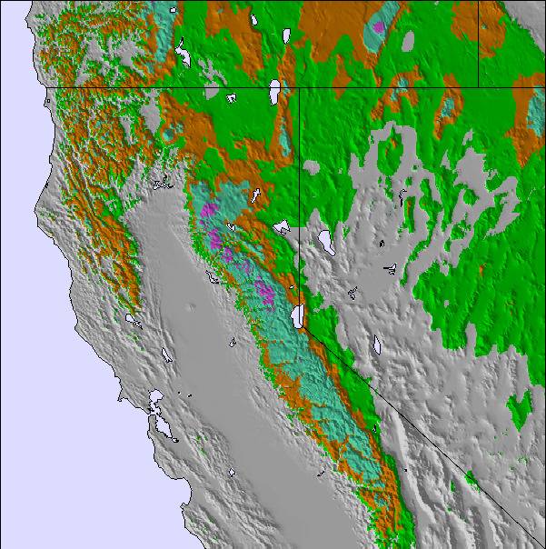
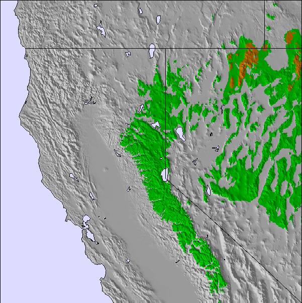
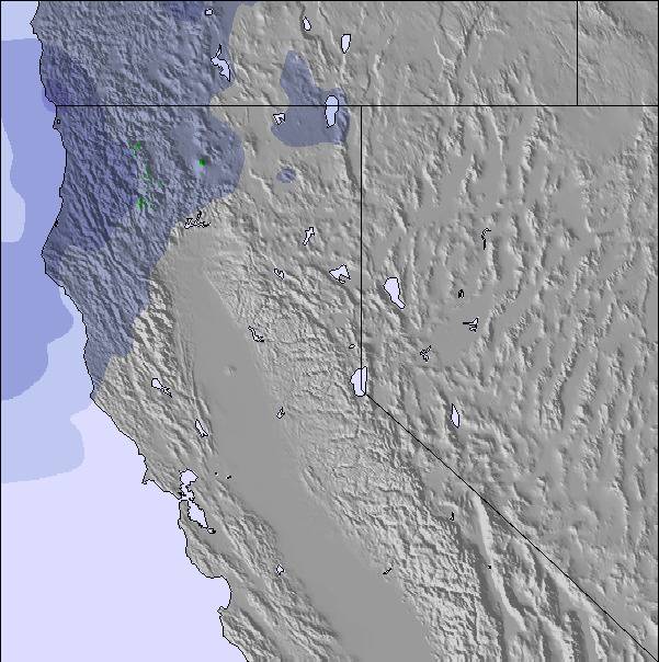
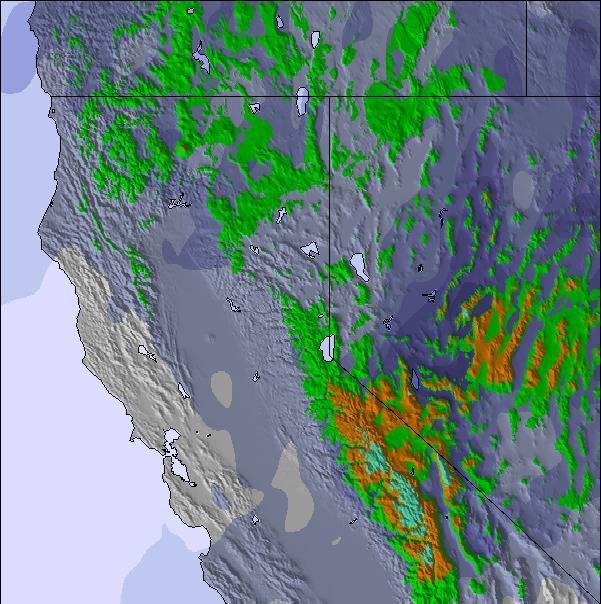
Snow map | 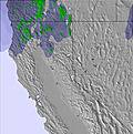 | 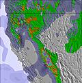 | 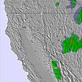 | 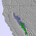 | 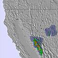 | 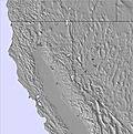 | ||||||||||
— | — | — | — | — | — | — | — | — | — | — | — | — | — | — | — | |
— | — | — | — | — | — | — | — | — | — | — | — | — | — | — | — | |
max °C | 19 | 20 | 25 | 21 | 20 | 24 | 21 | 21 | 26 | 22 | 23 | 27 | 23 | 25 | 28 | 24 |
min °C | 13 | 16 | 24 | 14 | 17 | 23 | 15 | 18 | 24 | 16 | 19 | 27 | 18 | 21 | 28 | 17 |
12 | 16 | 24 | 14 | 17 | 23 | 15 | 18 | 24 | 16 | 19 | 27 | 18 | 21 | 28 | 17 | |
38 | 27 | 19 | 38 | 25 | 21 | 31 | 23 | 18 | 30 | 21 | 16 | 25 | 18 | 18 | 42 | |
4550 | 4450 | 4850 | 4550 | 4450 | 4750 | 4600 | 4650 | 5000 | 4850 | 4900 | 5250 | 5100 | 5100 | 5300 | 4950 | |
— | 5:31 | — | — | 5:31 | — | — | 5:31 | — | — | 5:31 | — | — | 5:31 | — | — | |
— | — | — | 8:32 | — | — | 8:32 | — | — | 8:34 | — | — | 8:34 | — | — | 8:34 | |
Go pro and carve into:
Avalanche information: National Avalanche Center
Latest snow reports near Coppervale:
| Top snow depth: | — |
|---|---|
| Bottom snow depth: | — |
| Fresh snowfall depth: | — |
| Last snowfall: | 26 Apr 2026 |
| Snow Alerts | Create Alert |
0.0 | Bluebird Powder days Fresh snow, mostly sunny, light wind. |
|---|---|
0.0 | Powder days Fresh snow, limited sun, any wind. |
0.0 | Bluebird days Average snow, mostly sunny, light wind. |
The above table gives the weather forecast for Coppervale at the specific elevation of 1966 m. Our sophisticated weather models allow us to provide snow forecasts for the top, middle and bottom ski stations of Coppervale. To access the weather forecasts for the other elevations, use the tab navigation above the table. For a wider view of the weather, check out the Weather Map of United States.
Click here to read further information on freezing levels and how we forecast our temperatures.
Overall 2.3 Based on 3 votes and 3 reviews
Glad another reviewer was able to find a pass to Mt.Shasta ski park for only $4 more than Coppervale's meager $25/day lift ticket. Yes, you do need to ride an old Poma platter lift correctly to keep from derailing it and/or destroying the track and yes, we do not take kindly to whiners who want express quads and perfect groomers for $25/day. We do really love our local, old time ski hill with short, steep, groomed, glade and off-piste skiing. Please enjoy Mt. Shasta for a mere $44/dy.
polyester king from United States writes:
Glad another reviewer was able to find a pass to Mt.Shasta ski park for only $4 more than Coppervale's meager $25/day lift ticket. Yes, you do need to ride an old Poma platter lift correctly to keep from derailing it and/or destroying the track and yes, we do not take kindly to whiners who want express quads and perfect groomers for $25/day. We do really love our local, old time ski hill with short, steep, groomed, glade and off-piste skiing. Please enjoy Mt. Shasta for a mere $44/dy.

 Nearest