The above table gives the weather forecast for Combloux at the specific elevation of 1200 m. Our sophisticated weather models allow us to provide snow forecasts for the top, middle and bottom ski stations of Combloux. To access the weather forecasts for the other elevations, use the tab navigation above the table. For a wider view of the weather, check out the Weather Map of France.
Click here to read further information on freezing levels and how we forecast our temperatures.
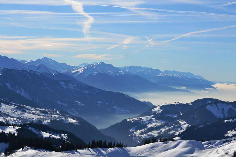
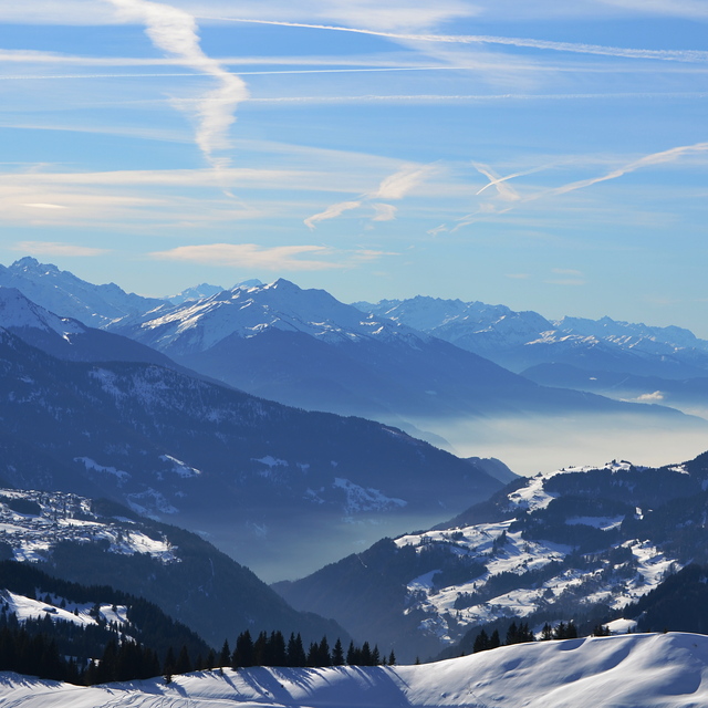
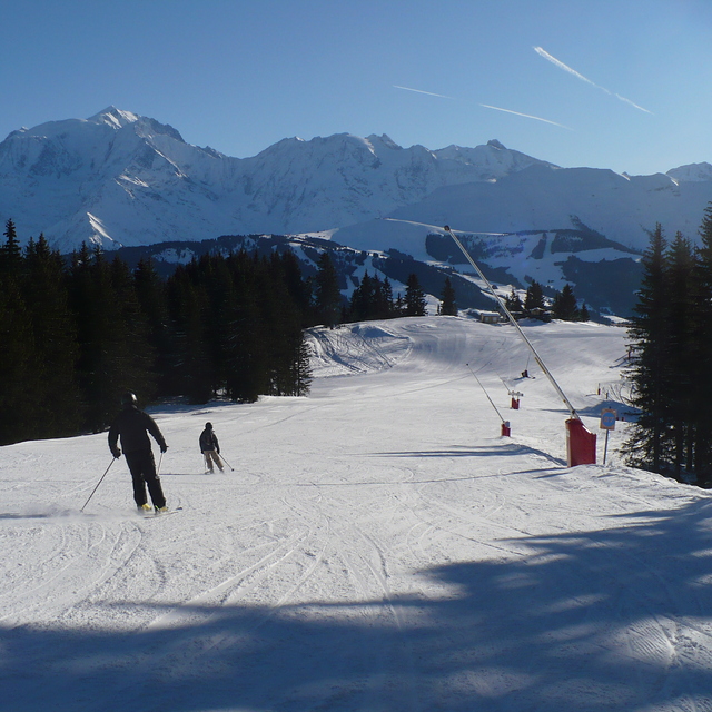
I have been skiing in the Combloux region for the past 15 years and have also enjoyed some summer holidays in the region. It's very beautiful with lots of great restaurants and skiing for all levels available in the area. I would recommend it for families, beginners and intermediate skiers. More experienced skiers will find plenty to keep them entertained at Les Contamines or Chamonix (40mins drive) where there's plenty of steeper stuff and off-piste. Combloux also has a very nice public (but little used) spa which is perfect for an after ski chill out. Just sit back in the jacuzzi and watch the sunset on Mont Blanc. Amazing!
I have been skiing in the Combloux region for the past 15 years and have also enjoyed some summer holidays in the region. It's very beautiful with lots of great restaurants and skiing for all levels available in the area. I would recommend it for families, beginners and intermediate skiers. More experienced skiers will find plenty to keep them entertained at Les Contamines or Chamonix (40mins drive) where there's plenty of steeper stuff and off-piste. Combloux also has a very nice public (but little used) spa which is perfect for an after ski chill out. Just sit back in the jacuzzi and watch the sunset on Mont Blanc. Amazing!
Free Snow-Forecast.com weather widget for your website
Embed the Combloux weather widget on your site for free. It provides a weekly snapshot of snow and rain conditions across all elevations. Follow the two quick steps to grab your custom code and paste it into your site. Choose between metric or imperial units. Click here to get the code.


 Nearest