

Portillo Re-Opens To Guests Arriving By Helicopter
Chile’s famous Portillo ski resort is reported to have re-opened to guests arriving by helicopter after being cut off by road for more than two weeks by over 6m/20 feet of snowfall.

Next 3 days weather summary:Moderate rain (total 15.0mm), heaviest on Wed night. Very mild (max 18°C on Mon afternoon, min 12°C on Wed night). Wind will be generally light. | Days 4-6 weather summary:Light rain (total 7.0mm), mostly falling on Sat night. Very mild (max 19°C on Sat afternoon, min 12°C on Thu night). Wind will be generally light. | ||||||||||||||||
Mon 3 | Tuesday 4 | Wednesday 5 | Thursday 6 | Friday 7 | Saturday 8 | ||||||||||||
PM | night | AM | PM | night | AM | PM | night | AM | PM | night | AM | PM | night | AM | PM | night | |
t-storm risk | rain shwrs | cloudy | rain shwrs | rain shwrs | clear | t-storm risk | rain shwrs | t-storm risk | t-storm risk | clear | rain shwrs | rain shwrs | rain shwrs | clear | clear | rain shwrs | |
km/h | |||||||||||||||||
Snow map |  |  |  |  |  |  | |||||||||||
— | — | — | — | — | — | — | — | — | — | — | — | — | — | — | — | — | |
mm | 2 | 2 | — | 1 | 1 | — | 1 | 5 | 3 | 1 | — | 1 | 1 | 1 | — | — | 3 |
max °C | 18 | 14 | 15 | 16 | 15 | 16 | 16 | 14 | 13 | 13 | 13 | 14 | 17 | 16 | 18 | 19 | 18 |
min °C | 15 | 13 | 14 | 15 | 13 | 13 | 16 | 12 | 12 | 13 | 12 | 13 | 16 | 14 | 15 | 19 | 16 |
chill °C | 14 | 13 | 14 | 15 | 13 | 12 | 16 | 12 | 12 | 13 | 12 | 12 | 16 | 14 | 15 | 19 | 16 |
Humid % | 66 | 58 | 53 | 60 | 72 | 63 | 74 | 86 | 81 | 80 | 73 | 67 | 59 | 51 | 40 | 46 | 61 |
Freeze m | 4400 | 4200 | 4350 | 4400 | 4550 | 4500 | 4500 | 4550 | 4450 | 4450 | 4500 | 4400 | 4450 | 4550 | 4600 | 4750 | 4650 |
— | — | 6:54 | — | — | 6:54 | — | — | 6:56 | — | — | 6:56 | — | — | 6:58 | — | — | |
— | 9:19 | — | — | 9:17 | — | — | 9:16 | — | — | 9:15 | — | — | 9:14 | — | — | 9:13 | |
Go pro and carve into:
Avalanche information: European Avalanche Warning Services (EAWS)
Latest snow reports near Cauterets:
| Top snow depth: | 0 cm |
|---|---|
| Bottom snow depth: | 0 cm |
| Fresh snowfall depth: | — |
| Last snowfall: | 17 May 2026 |
| Snow Alerts | Create Alert |
0.0 | Bluebird Powder days Fresh snow, mostly sunny, light wind. |
|---|---|
0.0 | Powder days Fresh snow, limited sun, any wind. |
0.0 | Bluebird days Average snow, mostly sunny, light wind. |
The above table gives the weather forecast for Cauterets at the specific elevation of 2110 m. Our sophisticated weather models allow us to provide snow forecasts for the top, middle and bottom ski stations of Cauterets. To access the weather forecasts for the other elevations, use the tab navigation above the table. For a wider view of the weather, check out the Weather Map of France.
Click here to read further information on freezing levels and how we forecast our temperatures.
Overall 3.9 Based on 30 votes and 9 reviews
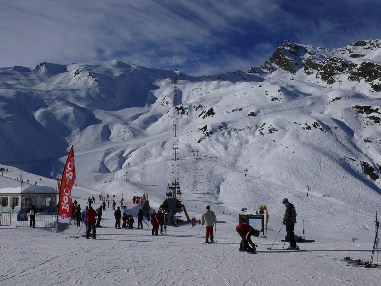
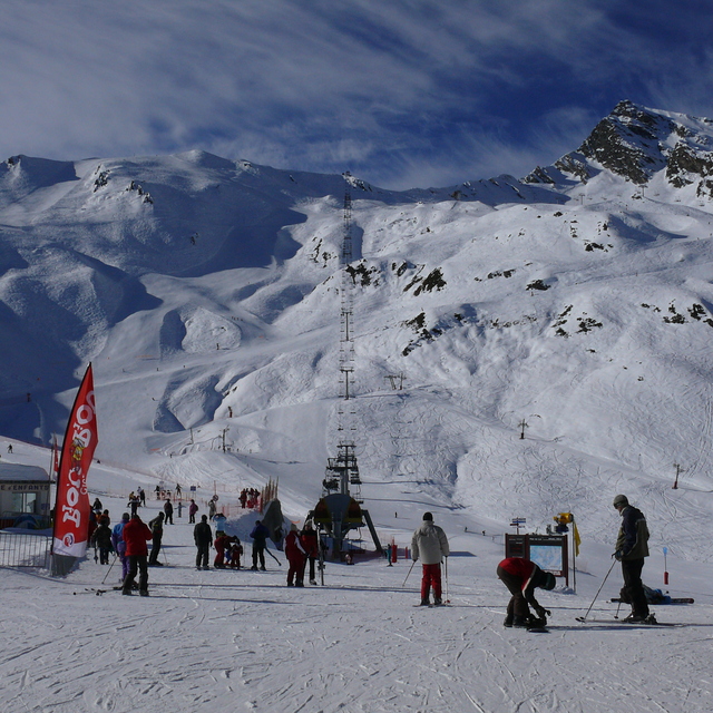
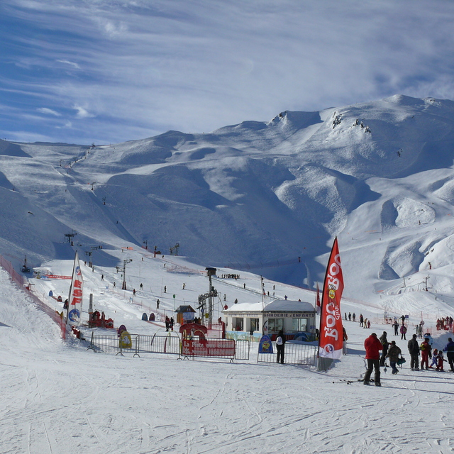
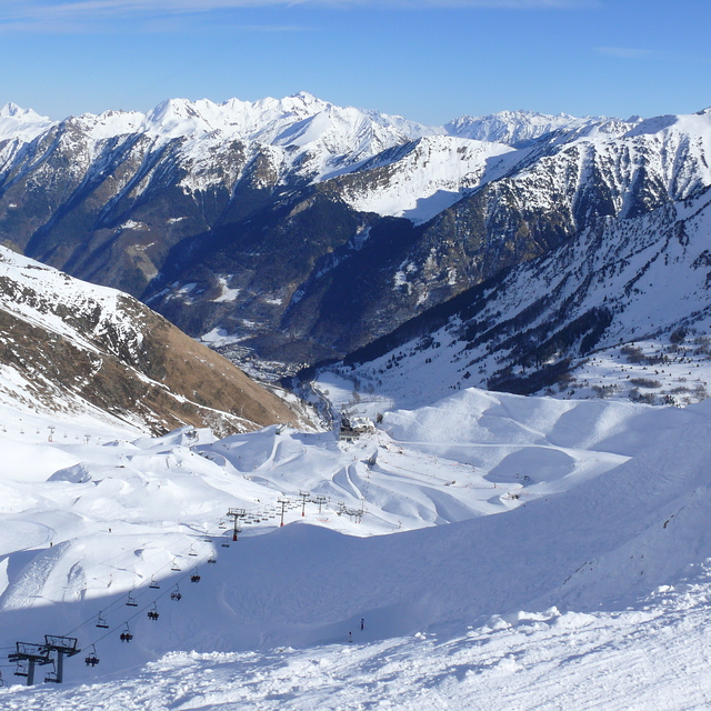
Cauterets is a family resort. We have been skiing here with our kids and extended family for 20 years. It’s an annual pilgrimage for generations of French families grand parents, parents, kids and toddlers. There’s not a lot to entertain teens/advanced alpine skiers either on or off piste unless you’re into the particularly superb cuisine of south west France, spa time, ice skating, snow shoeing, ski de fond or walking. Come to teach your kids or friends how to ski or board and you won’t be disappointed. If someone in your party can’t or doesn’t want to ski (?) neither will they, as this pretty Napoleonic spa town has plenty to keep them busy. Cauterets is a beautiful village (views over the Pyrenees up the mountain are stunning as well), no ugly concrete ski hotels here, for brutalist but stunning concrete and advanced skiing checkout Bond themed snow sure Piau Engalay. For a week, as a family holiday it’s a hidden gem!
Amal Pilendiram from United Kingdom writes:
Cauterets is a family resort. We have been skiing here with our kids and extended family for 20 years. It’s an annual pilgrimage for generations of French families grand parents, parents, kids and toddlers. There’s not a lot to entertain teens/advanced alpine skiers either on or off piste unless you’re into the particularly superb cuisine of south west France, spa time, ice skating, snow shoeing, ski de fond or walking. Come to teach your kids or friends how to ski or board and you won’t be disappointed. If someone in your party can’t or doesn’t want to ski (?) neither will they, as this pretty Napoleonic spa town has plenty to keep them busy. Cauterets is a beautiful village (views over the Pyrenees up the mountain are stunning as well), no ugly concrete ski hotels here, for brutalist but stunning concrete and advanced skiing checkout Bond themed snow sure Piau Engalay. For a week, as a family holiday it’s a hidden gem!


 Nearest