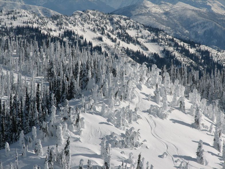


Portillo Re-Opens To Guests Arriving By Helicopter
Chile’s famous Portillo ski resort is reported to have re-opened to guests arriving by helicopter after being cut off by road for more than two weeks by over 6m/20 feet of snowfall.

Next 4 days weather summary:Mostly dry. Very mild (max 18°C on Wed afternoon, min 3°C on Mon morning). Wind will be generally light. | Days 5-7 weather summary:Mostly dry. Warm (max 24°C on Fri afternoon, min 13°C on Wed night). Winds increasing (calm on Thu night, strong winds from the W by Fri afternoon). | |||||||||||||||
Monday 3 | Tuesday 4 | Wednesday 5 | Thursday 6 | Friday 7 | ||||||||||||
night | AM | PM | night | AM | PM | night | AM | PM | night | AM | PM | night | AM | PM | night | |
clear | clear | clear | clear | some clouds | clear | clear | clear | clear | clear | clear | clear | clear | clear | some clouds | clear | |
km/h | ||||||||||||||||
Snow map |  |  | 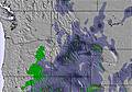 | 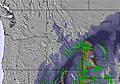 | 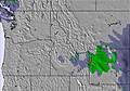 | 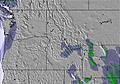 | ||||||||||
— | — | — | — | — | — | — | — | — | — | — | — | — | — | — | — | |
mm | — | — | — | — | — | — | — | — | — | — | — | — | — | — | — | — |
max °C | 15 | 6 | 10 | 9 | 11 | 14 | 12 | 13 | 18 | 17 | 18 | 22 | 20 | 21 | 24 | 22 |
min °C | 5 | 3 | 9 | 7 | 8 | 13 | 9 | 11 | 17 | 13 | 15 | 20 | 17 | 19 | 23 | 16 |
chill °C | 2 | 0 | 8 | 7 | 8 | 12 | 9 | 11 | 16 | 12 | 14 | 20 | 17 | 19 | 23 | 15 |
Humid % | 26 | 57 | 39 | 40 | 36 | 24 | 32 | 29 | 11 | 16 | 14 | 11 | 14 | 16 | 13 | 16 |
Freeze m | 4600 | 3200 | 3850 | 4000 | 4000 | 4300 | 4400 | 4300 | 4850 | 4950 | 4800 | 5150 | 5200 | 5150 | 5350 | 5200 |
— | 6:11 | — | — | 6:13 | — | — | 6:13 | — | — | 6:15 | — | — | 6:16 | — | — | |
— | — | 8:50 | — | — | 8:49 | — | — | 8:47 | — | — | 8:45 | — | — | 8:45 | — | |
Go pro and carve into:
Avalanche information: National Avalanche Center
Latest snow reports near Big Sky:
| Top snow depth: | 0 cm |
|---|---|
| Bottom snow depth: | 0 cm |
| Fresh snowfall depth: | — |
| Last snowfall: | 29 Jun 2026 |
| Snow Alerts | Create Alert |
0.0 | Bluebird Powder days Fresh snow, mostly sunny, light wind. |
|---|---|
0.0 | Powder days Fresh snow, limited sun, any wind. |
0.0 | Bluebird days Average snow, mostly sunny, light wind. |
The above table gives the weather forecast for Big Sky at the specific elevation of 2736 m. Our sophisticated weather models allow us to provide snow forecasts for the top, middle and bottom ski stations of Big Sky. To access the weather forecasts for the other elevations, use the tab navigation above the table. For a wider view of the weather, check out the Weather Map of United States.
Click here to read further information on freezing levels and how we forecast our temperatures.
Overall 4.2 Based on 18 votes and 8 reviews
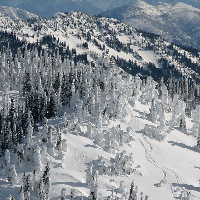
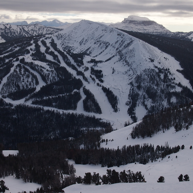
In the past few years, Big Sky has been discovered. No longer a sleepy giant, there are now lift lines. Maybe because Montana had the best snow in the USA in 2018, and maybe due to the addition of the Ikon pass; either way there are now lots more people; don't count on powder lasting beyond noon, where in the past it might have lasted for days. Lines are much shorter or non-existent in April, when sunshine can be intense. If you enjoy dining out, plan on a few trips to Town Center or Highway 191 on the Skyline shuttle for the best food.
Montana Mel from United States writes:
In the past few years, Big Sky has been discovered. No longer a sleepy giant, there are now lift lines. Maybe because Montana had the best snow in the USA in 2018, and maybe due to the addition of the Ikon pass; either way there are now lots more people; don't count on powder lasting beyond noon, where in the past it might have lasted for days. Lines are much shorter or non-existent in April, when sunshine can be intense. If you enjoy dining out, plan on a few trips to Town Center or Highway 191 on the Skyline shuttle for the best food.


 Nearest