The above table gives the weather forecast for Ax 3 Domaines at the specific elevation of 2399 m. Our sophisticated weather models allow us to provide snow forecasts for the top, middle and bottom ski stations of Ax 3 Domaines. To access the weather forecasts for the other elevations, use the tab navigation above the table. For a wider view of the weather, check out the Weather Map of France.
Click here to read further information on freezing levels and how we forecast our temperatures.
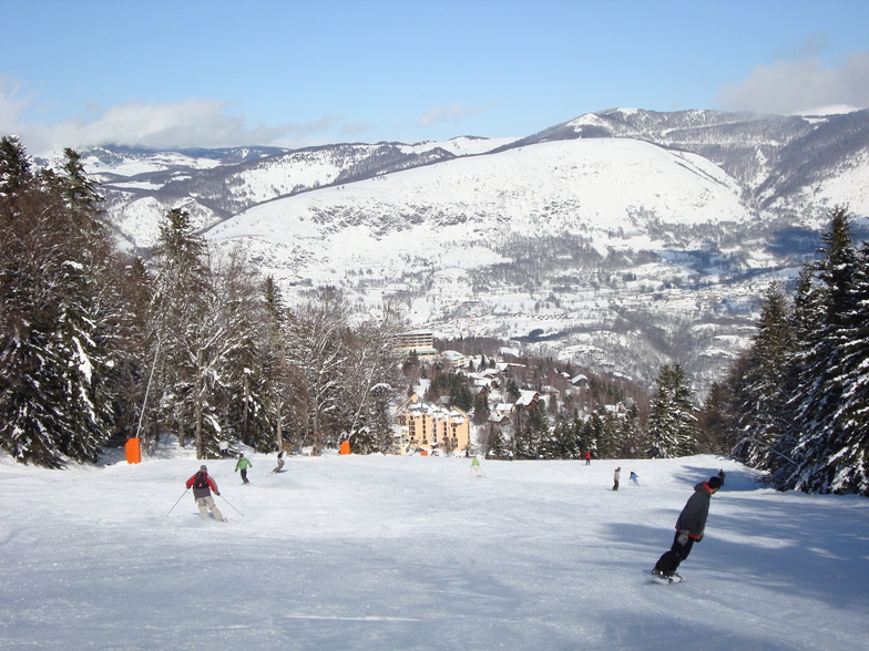
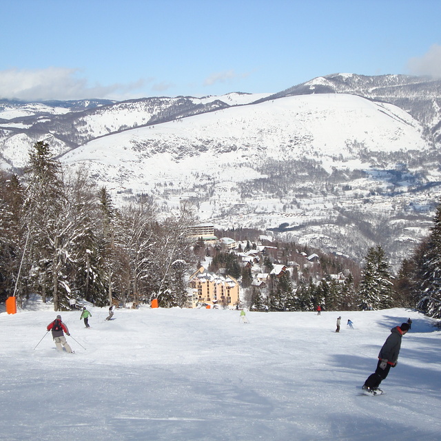
I have been taking my family to Ax for 6 years now. It is a lovely ancient thermal spa town in the Pyrenees with bags of history and a ski resort above the town. There is a great market twice a week; lots of small independent shops and restaurants and plenty of characterful places to stay. The resort itself is compact and very family-friendly, but still has 75km of pistes to suit all ages and abilities. It is less chi-chi than the alps, less banging than Andorra, and cheaper than both in terms of lift passes and ski hire. If you avoid French school holidays it isn't very crowded either. There are pistes up to 2400m and plenty of snow cannons as well, so the conditions are generally good. There are also lots of other great winter sports activities available, such as: dog sledding, Nordic skiing, ski-joering, snow trekking, ice climbing, sledging, & snow biking.
Just a quick note regarding an older review: there is a now a bypass around the town that takes out the through-traffic on its way to Andorra, so the town centre is much quieter and easy to navigate even in high season. There is a Park & Ride scheme that operates between the railway station and the ski resort, and there are navettes (minibuses) that run between several of the outlying villages and the resort. There is also extensive (free) parking at the resort itself.
Free Snow-Forecast.com weather widget for your website
Embed the Ax 3 Domaines weather widget on your site for free. It provides a weekly snapshot of snow and rain conditions across all elevations. Follow the two quick steps to grab your custom code and paste it into your site. Choose between metric or imperial units. Click here to get the code.


 Nearest