Weather Forecast for Arapahoe Basin at3801m altitude
Issued: 11 pm 29 Jun 2026 (local time)
Forecast update in hr min
View forecast
Arapahoe Basinat 3801 m altitude
Issued by Snow-Forecast.com at:11 pm (local time) / 29 Jun 2026
Last 6 daysScroll left for last 6 daysNow
Next 4 days weather summary:
Mostly dry. Freeze-thaw conditions (max 12°C on Tue afternoon, min 0°C on Tue night). Winds decreasing (fresh winds from the SW on Tue morning, calm by Wed night).
Days 5-7 weather summary:
Light rain (total 2.0mm), mostly falling on Sat night. Very mild (max 14°C on Fri afternoon, min 3°C on Thu night). Wind will be generally light.
The above table gives the weather forecast for Arapahoe Basin at the specific elevation of 3801 m. Our sophisticated weather models allow us to provide snow forecasts for the top, middle and bottom ski stations of Arapahoe Basin. To access the weather forecasts for the other elevations, use the tab navigation above the table. For a wider view of the weather, check out the Weather Map of United States.
Click here to read further information on freezing levels and how we forecast our temperatures.
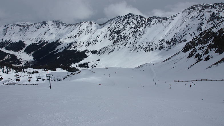
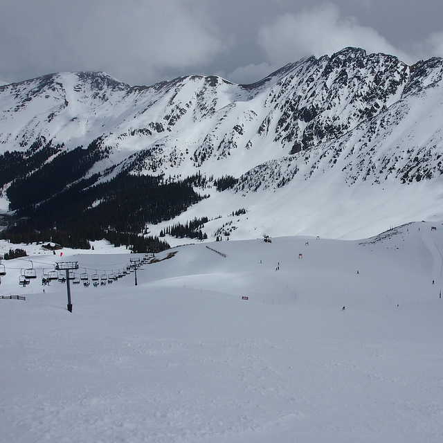
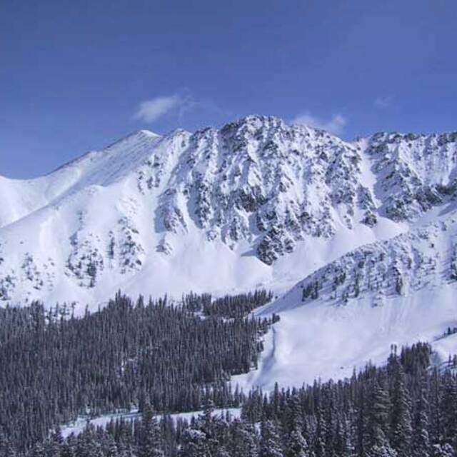
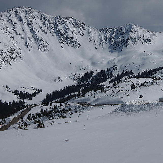
A-Basin is a great resort that gets the best late season snow in Colorado, due to its high altitude 10,800 to 13,050. There are some good groomed runs, but most of the resort is steeps with bumps, bowls, trees, chutes and powdery hike to steeps. You can also traverse to fresh snow if you know where to go and are on your game. Skiing at A-Basin will make you a better skier if you are willing to put in the effort. The ski school, for all ages and skills, is excellent. Breakfast and lunch are great and very reasonably priced. Get there early on a powder day (lifts turn at 0830) because the parking lot will fill up.
The best terrain is accessed via a hike called the North Pole. Try to have a way to carry your skis on your back and use your poles to help you climb. Completing this hike of about 500 ft of vert will reward you with deep powder, on challenging runs, that has been made safe by ski patrol.
For me, the soul of skiing in Colorado is A-Basin. My two best powder days of the year were in April and May at A-Basin.
Free Snow-Forecast.com weather widget for your website
Embed the Arapahoe Basin weather widget on your site for free. It provides a weekly snapshot of snow and rain conditions across all elevations. Follow the two quick steps to grab your custom code and paste it into your site. Choose between metric or imperial units. Click here to get the code.


 Nearest