

America’s Next Indoor Snow Centre Takes Shape
Construction of a new indoor snow centre for skiers, boarders and tubers appears to be making good progress at Heritage Farm in Wayne County, West Virginia.

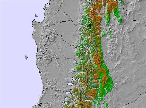
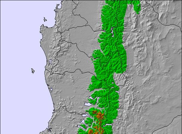
Next 4 days weather summary:A heavy fall of snow, heaviest during Thu afternoon. Freeze-thaw conditions (max 1°C on Wed morning, min -2°C on Mon night). Wind will be generally light. | Days 5-7 weather summary:A heavy fall of snow, heaviest during Sun morning. Becoming milder with heavy rain (total 47.0mm) on Sun afternoon. Freeze-thaw conditions (max 6°C on Sun afternoon, min -2°C on Thu night). Winds increasing (light winds from the NW on Fri afternoon, strong winds from the NW by Sun afternoon). | |||||||||||||||
Tuesday 21 | Wednesday 22 | Thursday 23 | Friday 24 | Saturday 25 | ||||||||||||
night | AM | PM | night | AM | PM | night | AM | PM | night | AM | PM | night | AM | PM | night | |
snow shwrs | light snow | mod. snow | heavy snow | light snow | light snow | some clouds | light snow | mod. snow | heavy snow | light snow | cloudy | light snow | mod. snow | mod. snow | light snow | |
km/h | ||||||||||||||||
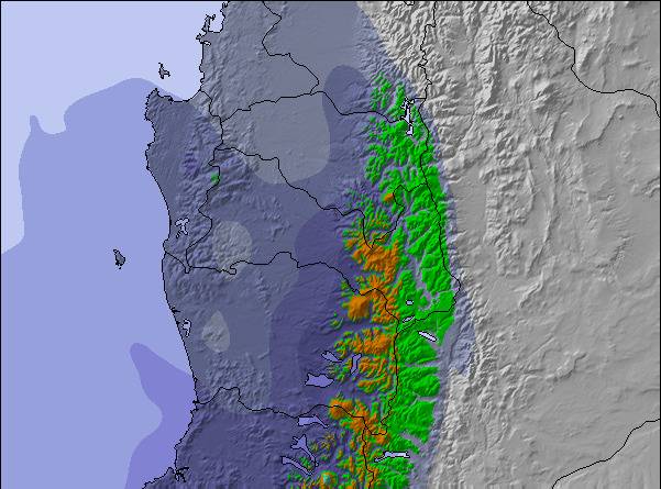
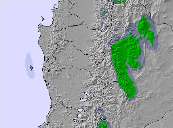
Snow map | 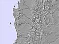 | 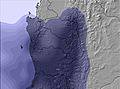 | 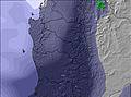 | 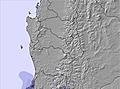 | 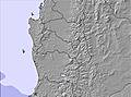 | 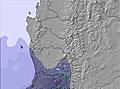 | ||||||||||
— | 3 | 7 | 12 | 4 | — | — | 3 | 10 | 15 | 3 | — | 1 | 6 | 7 | 2 | |
mm | — | — | — | — | — | — | — | — | — | — | — | — | — | — | — | 8 |
max °C | 0 | 0 | 0 | 0 | 1 | 1 | -1 | 1 | 1 | 1 | -1 | 0 | 0 | 0 | 0 | 3 |
min °C | -2 | -1 | -1 | 0 | 0 | 1 | -2 | 0 | 0 | -2 | -2 | -1 | -2 | 0 | 0 | 0 |
chill °C | -4 | -4 | -4 | -4 | -5 | -3 | -6 | -5 | -5 | -8 | -7 | -4 | -6 | -4 | -4 | -4 |
Humid % | 85 | 96 | 98 | 99 | 99 | 99 | 73 | 98 | 99 | 99 | 98 | 89 | 47 | 97 | 98 | 92 |
Freeze m | 1300 | 1550 | 1650 | 1650 | 1750 | 1850 | 1400 | 1600 | 1700 | 1550 | 1300 | 1550 | 1250 | 1700 | 1700 | 2150 |
— | 8:52 | — | — | 8:52 | — | — | 8:52 | — | — | 8:51 | — | — | 8:49 | — | — | |
— | — | 6:50 | — | — | 6:51 | — | — | 6:52 | — | — | 6:52 | — | — | 6:52 | — | |
Go pro and carve into:
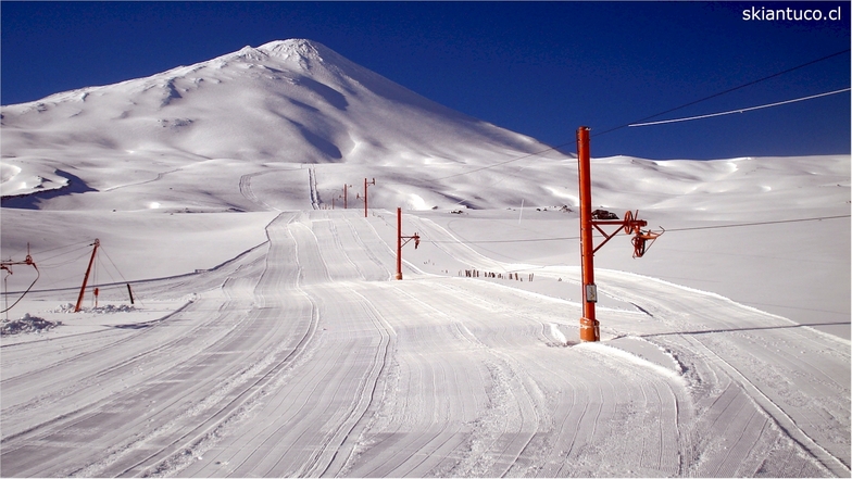
Latest snow reports near Antuco:
| Top snow depth: | — |
|---|---|
| Bottom snow depth: | — |
| Fresh snowfall depth: | 13 cm |
| Last snowfall: | 19 Jul 2026 |
| Snow Alerts | Create Alert |
0.3 | Bluebird Powder days Fresh snow, mostly sunny, light wind. |
|---|---|
1.0 | Powder days Fresh snow, limited sun, any wind. |
0.5 | Bluebird days Average snow, mostly sunny, light wind. |
The above table gives the weather forecast for Antuco at the specific elevation of 1674 m. Our sophisticated weather models allow us to provide snow forecasts for the top, middle and bottom ski stations of Antuco. To access the weather forecasts for the other elevations, use the tab navigation above the table. For a wider view of the weather, check out the Weather Map of Chile.
Click here to read further information on freezing levels and how we forecast our temperatures.
Overall 3.0 Based on 9 votes and 10 reviews
Es imposible comprar tickets en la pagina,se agotan mágicamente, indican por watshapp (porque no hay otro medio de comunicacion) que se venderán el jueves para el fin de semana pero nunca se abre la página ni da la opción de compra, de pronto esta todo agotado. Me parece mucho que se venden por fuera de la pagina. El citio web no tiene sentido de esa manera.
Yo athan from Chile writes:
Es imposible comprar tickets en la pagina,se agotan mágicamente, indican por watshapp (porque no hay otro medio de comunicacion) que se venderán el jueves para el fin de semana pero nunca se abre la página ni da la opción de compra, de pronto esta todo agotado. Me parece mucho que se venden por fuera de la pagina. El citio web no tiene sentido de esa manera.

 Nearest