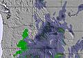
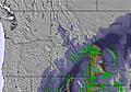
The above table gives the weather forecast for Alpental At The Summit at the specific elevation of 1304 m. Our sophisticated weather models allow us to provide snow forecasts for the top, middle and bottom ski stations of Alpental At The Summit. To access the weather forecasts for the other elevations, use the tab navigation above the table. For a wider view of the weather, check out the Weather Map of United States.
Click here to read further information on freezing levels and how we forecast our temperatures.
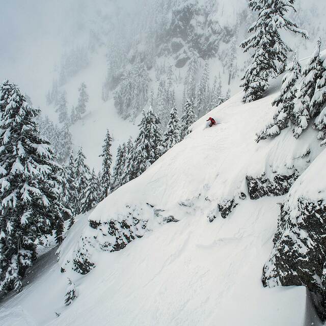
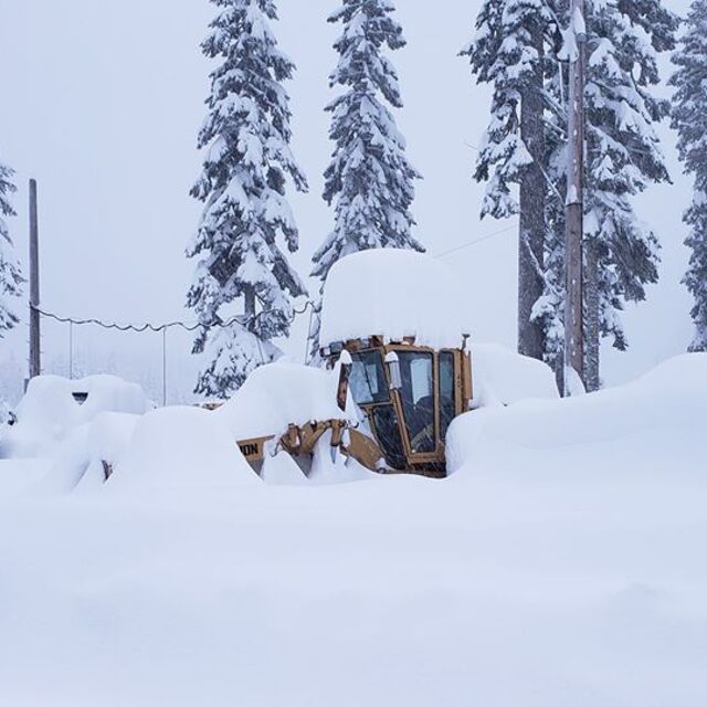
Both Alpental (plus Snoqualmie Pass back country) and Stevens are situated at passes which divide two very different air masses; often cold continental high pressure and maritime low pressure (the later driven by prevailing westerlies, over the longest fetch on the planet). The Cascade Mountains offer up one of the steepest slopes anywhere on earth. Moist air is forced up causing winter precip nearly unmatched anywhere giving these places arguably more powder days per steep than anywhere else. Combine that with the notorious low level "easterly flow" that can maintain lower temps than anywhere at these elevations (just fractions of a mile to the west) and you've got winter wonderlands like no others. Alpental, however, has little in the way of any "bunny" slopes, separating this mountain and it's regulars from other areas with pretty much only serious to hard core skiers. This place is not for Texas wanna-be skiers, or anyone looking for a 5 star hotel with a hot tub....go back to Seattle.
Both Alpental (plus Snoqualmie Pass back country) and Stevens are situated at passes which divide two very different air masses; often cold continental high pressure and maritime low pressure (the later driven by prevailing westerlies, over the longest fetch on the planet). The Cascade Mountains offer up one of the steepest slopes anywhere on earth. Moist air is forced up causing winter precip nearly unmatched anywhere giving these places arguably more powder days per steep than anywhere else. Combine that with the notorious low level "easterly flow" that can maintain lower temps than anywhere at these elevations (just fractions of a mile to the west) and you've got winter wonderlands like no others. Alpental, however, has little in the way of any "bunny" slopes, separating this mountain and it's regulars from other areas with pretty much only serious to hard core skiers. This place is not for Texas wanna-be skiers, or anyone looking for a 5 star hotel with a hot tub....go back to Seattle.
Free Snow-Forecast.com weather widget for your website
Embed the Alpental At The Summit weather widget on your site for free. It provides a weekly snapshot of snow and rain conditions across all elevations. Follow the two quick steps to grab your custom code and paste it into your site. Choose between metric or imperial units. Click here to get the code.


 Nearest