

America’s Next Indoor Snow Centre Takes Shape
Construction of a new indoor snow centre for skiers, boarders and tubers appears to be making good progress at Heritage Farm in Wayne County, West Virginia.

Next 3 days weather summary:Light rain (total 6.0mm), mostly falling on Sat night. Very mild (max 18°C on Sat afternoon, min 10°C on Thu night). Wind will be generally light. | Days 4-6 weather summary:Light rain (total 5.0mm), mostly falling on Sun morning. Very mild (max 18°C on Tue afternoon, min 10°C on Sun night). Wind will be generally light. | |||||||||||||||||
Thursday 23 | Friday 24 | Saturday 25 | Sunday 26 | Monday 27 | Tuesday 28 | |||||||||||||
AM | PM | night | AM | PM | night | AM | PM | night | AM | PM | night | AM | PM | night | AM | PM | night | |
clear | some clouds | clear | clear | clear | clear | clear | rain shwrs | t-storm risk | t-storm risk | some clouds | rain shwrs | clear | clear | clear | clear | some clouds | rain shwrs | |
km/h | ||||||||||||||||||
Snow map |  |  |  |  |  |  | ||||||||||||
— | — | — | — | — | — | — | — | — | — | — | — | — | — | — | — | — | — | |
mm | — | — | — | — | — | — | — | 1 | 5 | 3 | — | 1 | — | — | — | — | — | 1 |
max °C | 12 | 13 | 12 | 14 | 17 | 16 | 17 | 18 | 15 | 12 | 15 | 13 | 13 | 16 | 15 | 16 | 18 | 17 |
min °C | 11 | 13 | 10 | 12 | 16 | 14 | 15 | 17 | 11 | 11 | 14 | 10 | 10 | 15 | 13 | 14 | 18 | 14 |
chill °C | 10 | 12 | 9 | 12 | 16 | 14 | 15 | 17 | 11 | 10 | 13 | 10 | 10 | 15 | 13 | 14 | 18 | 14 |
Humid % | 30 | 35 | 34 | 20 | 24 | 26 | 33 | 45 | 70 | 57 | 51 | 60 | 45 | 58 | 64 | 55 | 59 | 65 |
Freeze m | 4000 | 3850 | 4400 | 4550 | 4500 | 4500 | 4400 | 4400 | 4000 | 3900 | 4250 | 4150 | 4300 | 4450 | 4550 | 4450 | 4700 | 4700 |
6:09 | — | — | 6:11 | — | — | 6:11 | — | — | 6:13 | — | — | 6:13 | — | — | 6:15 | — | — | |
— | — | 9:13 | — | — | 9:12 | — | — | 9:10 | — | — | 9:09 | — | — | 9:08 | — | — | 9:07 | |
Go pro and carve into:
Avalanche information: European Avalanche Warning Services (EAWS)
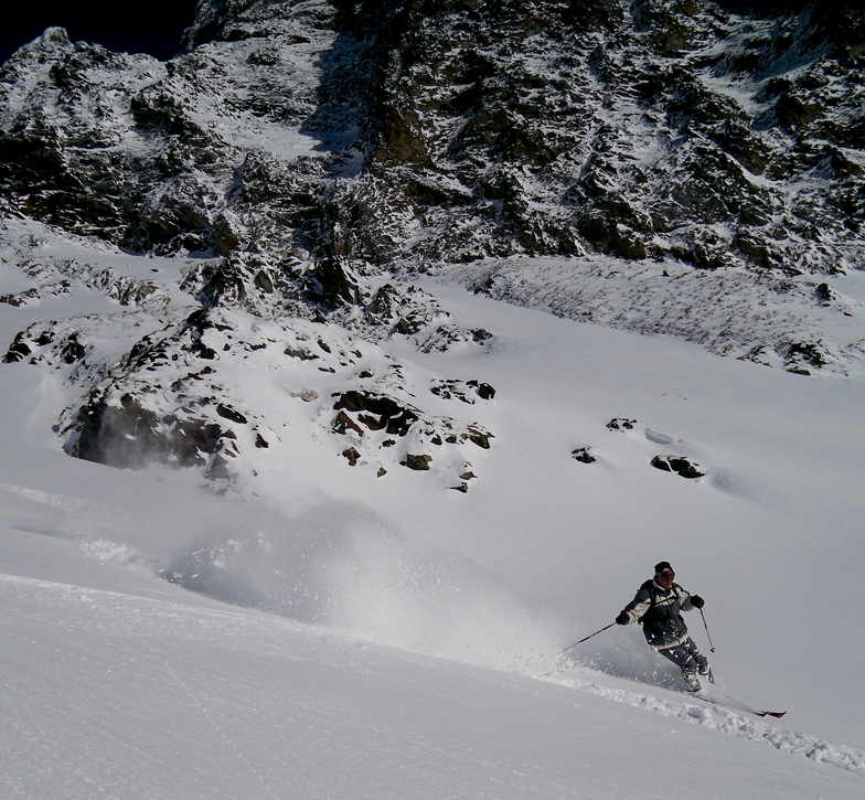
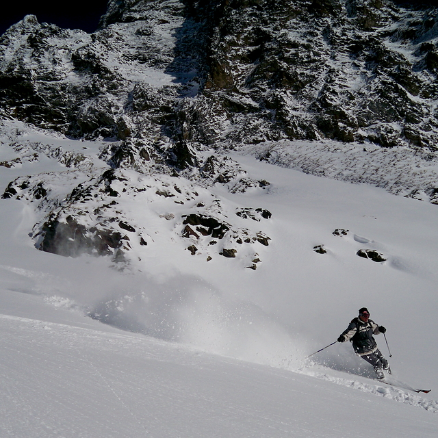
Latest snow reports near Alpe d'Huez:
| Top snow depth: | 0 cm |
|---|---|
| Bottom snow depth: | 0 cm |
| Fresh snowfall depth: | — |
| Last snowfall: | 4 Jun 2026 |
| Snow Alerts | Create Alert |
0.0 | Bluebird Powder days Fresh snow, mostly sunny, light wind. |
|---|---|
0.0 | Powder days Fresh snow, limited sun, any wind. |
0.0 | Bluebird days Average snow, mostly sunny, light wind. |
The above table gives the weather forecast for Alpe d'Huez at the specific elevation of 2225 m. Our sophisticated weather models allow us to provide snow forecasts for the top, middle and bottom ski stations of Alpe d'Huez. To access the weather forecasts for the other elevations, use the tab navigation above the table. For a wider view of the weather, check out the Weather Map of France.
Click here to read further information on freezing levels and how we forecast our temperatures.
Overall 4.0 Based on 82 votes and 110 reviews
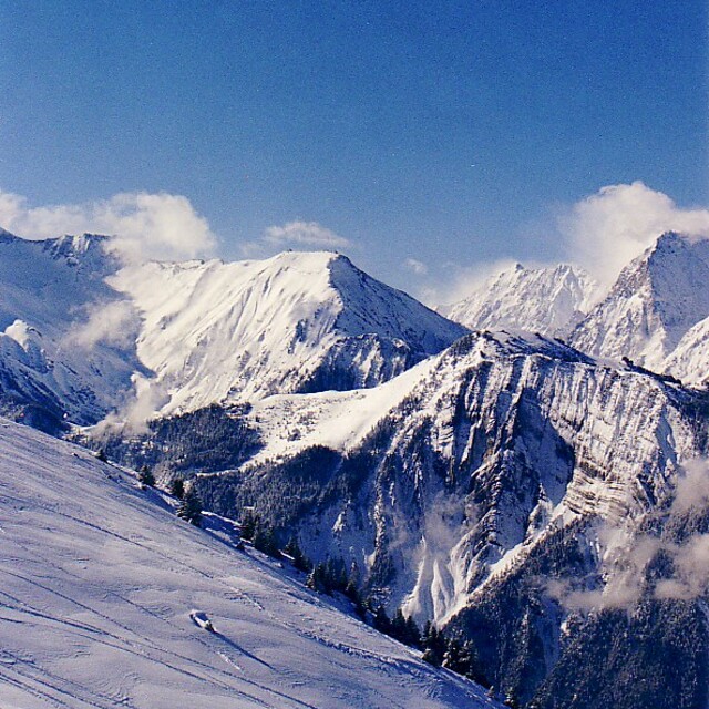
First time here having visited many French resorts. We were part of a large party in a chalet. The general opinion was that whilst we had an enjoyable week we wouldn’t rush back. The runs in the bowl above the resort are boring. There are some good blacks off the top as well as good off-piste areas.!The runs down into Oz and Monfrais are more interesting as is the area above Auris. Eating on the mountain was a pain, having a drink was even worse. One place wouldn’t let us inside for a drink even when it was snowing and mid morning claiming it was food only, but that wasn’t available until noon. The resort itself feels disconnected and is very spread out. The snow was excellent and the lifts generally good with only the odd antiquated chair.
Jean from France writes:
First time here having visited many French resorts. We were part of a large party in a chalet. The general opinion was that whilst we had an enjoyable week we wouldn’t rush back. The runs in the bowl above the resort are boring. There are some good blacks off the top as well as good off-piste areas.!The runs down into Oz and Monfrais are more interesting as is the area above Auris. Eating on the mountain was a pain, having a drink was even worse. One place wouldn’t let us inside for a drink even when it was snowing and mid morning claiming it was food only, but that wasn’t available until noon. The resort itself feels disconnected and is very spread out. The snow was excellent and the lifts generally good with only the odd antiquated chair.


 Nearest