The above table gives the weather forecast for Alpbachtal at the specific elevation of 813 m. Our sophisticated weather models allow us to provide snow forecasts for the top, middle and bottom ski stations of Alpbachtal. To access the weather forecasts for the other elevations, use the tab navigation above the table. For a wider view of the weather, check out the Weather Map of Austria.
Click here to read further information on freezing levels and how we forecast our temperatures.
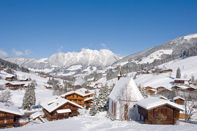
Just returned from a five night trip to Alpbach and have to say it was the best skiing holiday we have ever had in 22 years of skiing.
We booked independently, flights via Easyjet, Gatwick/Innsbruck, Taxi and Alpbacherhof Hotel and saved a great deal on the Inghams price.
The Hotel is excellent, great food, superb Spa area and very friendly and helpful staff. Hotel staff organised the taxi, lift passes etc (who needs a rep?)
The ski area was just what we wanted as it was our daughters second skiing holiday and conditions were perfect and she was going down black runs on day 2.
Austria has always been our favourite choice but we wanted a change, we read the previous reviews and Alpbach did not disappoint.
We will be going back asap.
Free Snow-Forecast.com weather widget for your website
Embed the Alpbachtal weather widget on your site for free. It provides a weekly snapshot of snow and rain conditions across all elevations. Follow the two quick steps to grab your custom code and paste it into your site. Choose between metric or imperial units. Click here to get the code.


 Nearest